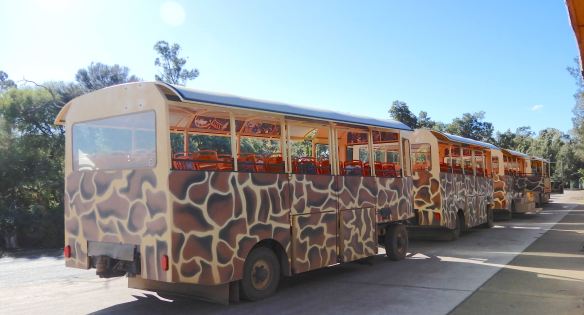
Our arrival at Werribee Open Range Zoo timed perfectly with the start of a safari bus tour.
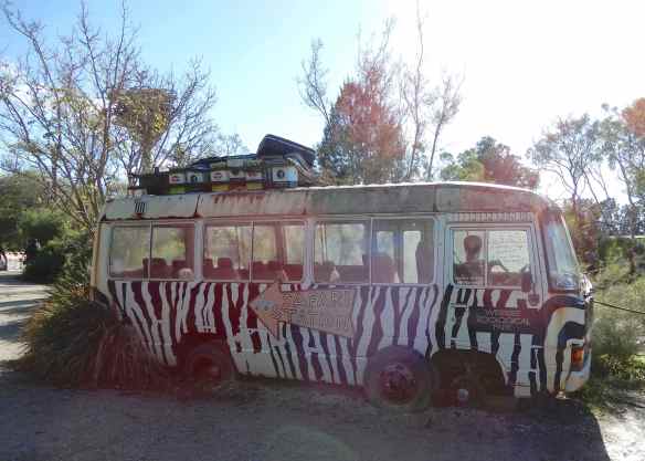
Fortunately, the new bus is a lot more reliable and rhino proof.
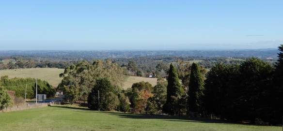
The 225 hectare zoo, originally agistment land for Melbourne Zoo, opened in 1983 and is home to many African and Australian species. Werribee is more than just a zoo, with breeding and recovery programmes and a commitment to conservation of wildlife, the future of these precious animals is in good hands. Setting off toward the open plains, it wasn’t long before the familiar silhouette of a bison came into view. His companion, the Addax, is critically endangered with less than 300 remaining in the wild.


We witnessed the results of the breeding programmes that have brought the Mongolian Wild Horses back from the brink of extinction. Named after the Russian explorer who first described them, Przewalski’s Horses have recently been reintroduced to reserves in Mongolia.


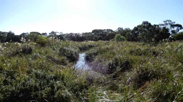
Crossing a waterway,
we were surprised to see Texan Longhorn cattle.


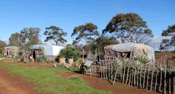
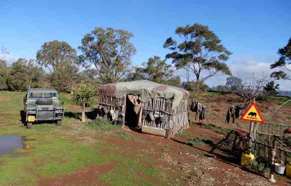
Apparently, they look similar to cattle found in Africa and the context became clear as we passed a replica African village.
The tour was momentarily held up by a group of young Scimitar-horned Oryx cavorting around the bus.

It was wonderful to see wild animals roaming freely together across the savannah. Eland grazed sedately
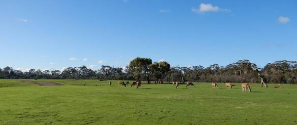


alongside majestic giraffes


and zebra, all able to relax and enjoy the sunshine without threat of predators.


A herd of Southern White rhinoceros, the largest of the rhino species, share the same pasture.
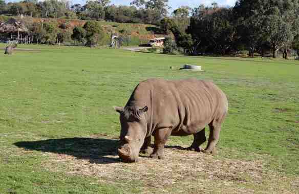


A nearby waterhole gives them the chance to wallow in the mud but the only resident this day was a lone Cape Barren goose.

As the tour drew to a close, the last animal in our sights, the dromedary camel, was first imported in the mid 1800s and Australia now has the world’s largest population of wild camels.

We lunched at the Meerkat Bistro, presumably named because the meerkat enclosure abuts a full length window along one side of the café. The heat lamps took the chill off the winter air, I could watch these gorgeous little creatures for hours.


Once sated, we set off to explore the African Trail, a leisurely 1km stroll with many more animals to discover.
The Vervet monkey was well camouflaged within the branches, seemingly deep in thought.


It was lunch time for the African Wild Dogs with their unique ‘painted’ coats. Numbers in the wild are dwindling, yet again thanks to humans.


Along with the lions, habitat destruction, trophy hunting and the killing by farmers to protect livestock are threatening their existence. These peaceful pussy cats certainly didn’t appear menacing.


Moored at the edge of the hippopotamus enclosure


sat the African river boat, Kuba Queen.

Hippos have long been my favourite animal
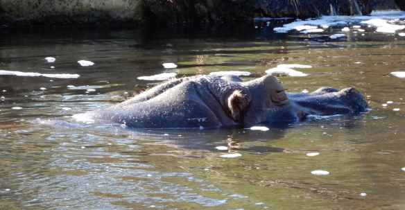
and I was very excited to capture one as it seemed to test the water before deciding on a swim.


Three Western Lowland gorillas live at Werribee, a magnificent silverback, Motaba and his two sons, Yakini and Ganyeka. I don’t know which one this is but isn’t he handsome?


The fastest mammal on earth was taking it easy this afternoon,
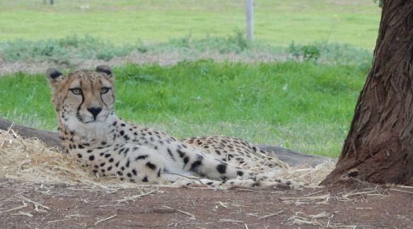
my day was complete with a wink from the Cheetah.