My first visit to Fossil Bluff at Wynyard in 2009 was a little disappointing. The tide was in and, although the sandstone cliff was spectacular and scenery stunning, I didn’t see any evidence of fossils.

More recently, we arrived at low tide to find the expansive beach of Freestone Cove with Fossil Bluff looming to the east
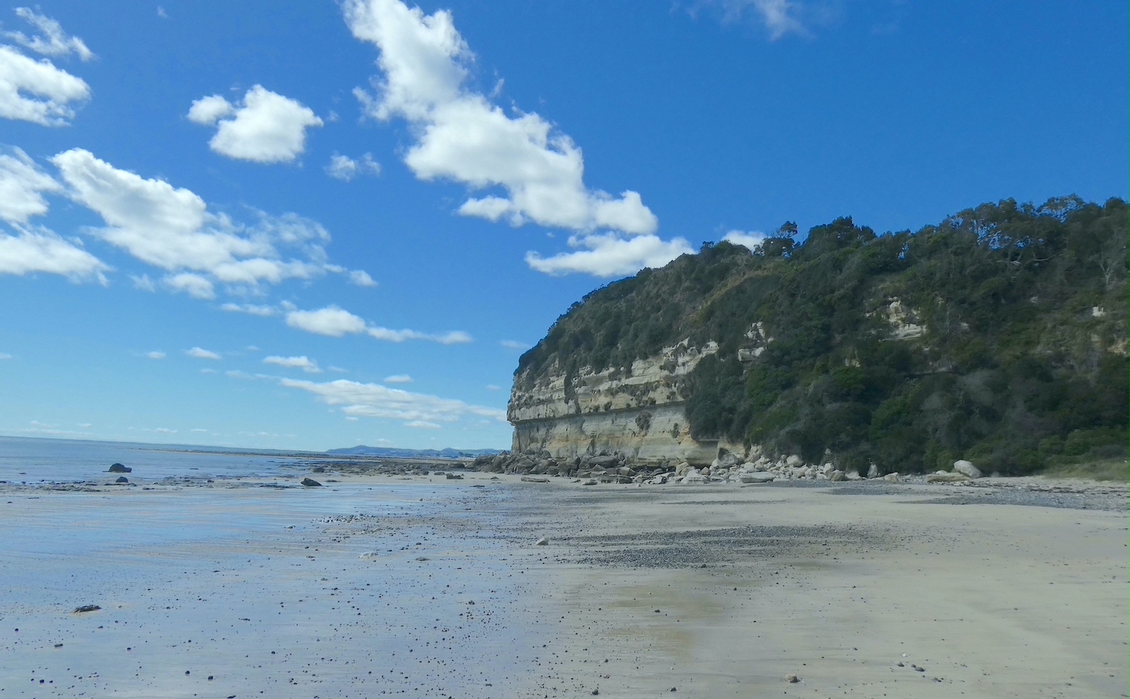
and Table Cape to the west.

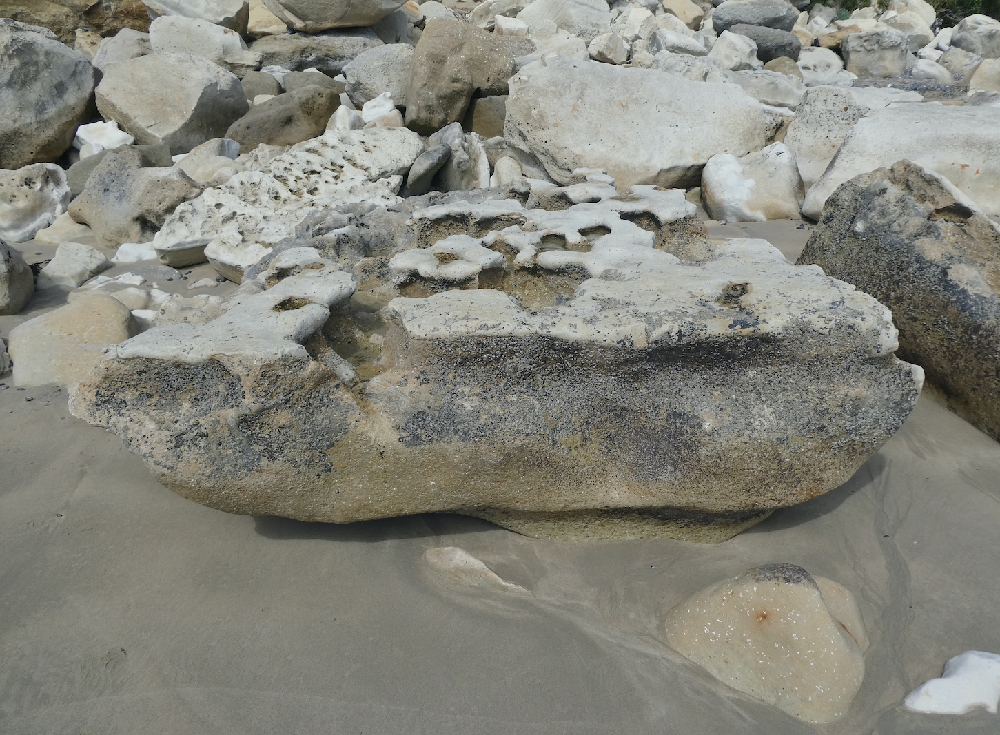
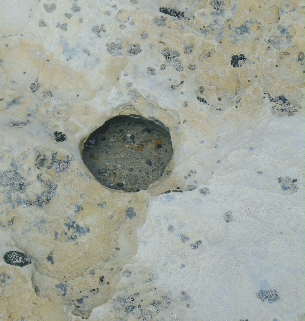
We wandered among rocks, weathered and worn smooth by the incessant ebb and flow of the tide.


Fossil Bluff was created 275 million years ago by a tidewater glacier. The 25 metre sandstone cliffs are strewn with fossils, including the remains of the oldest marsupial found in Australia named Wynyardia bassiana in honour of the town.

The grey rock at the base of the cliff is Wynyard Tillite, deposited by the glacier between 303 and 293 million years ago while Australia was part of the super continent called Gondwana. Fossil Bluff sits on top of the tillite and it is clear to see where the sandstone and tillite meet.

It wasn’t long before I spied a plethora of trilobites emerging from rock. One of the earliest known groups of arthropods, trilobites became extinct about 252 million years ago after existing in oceans for 270 million years.
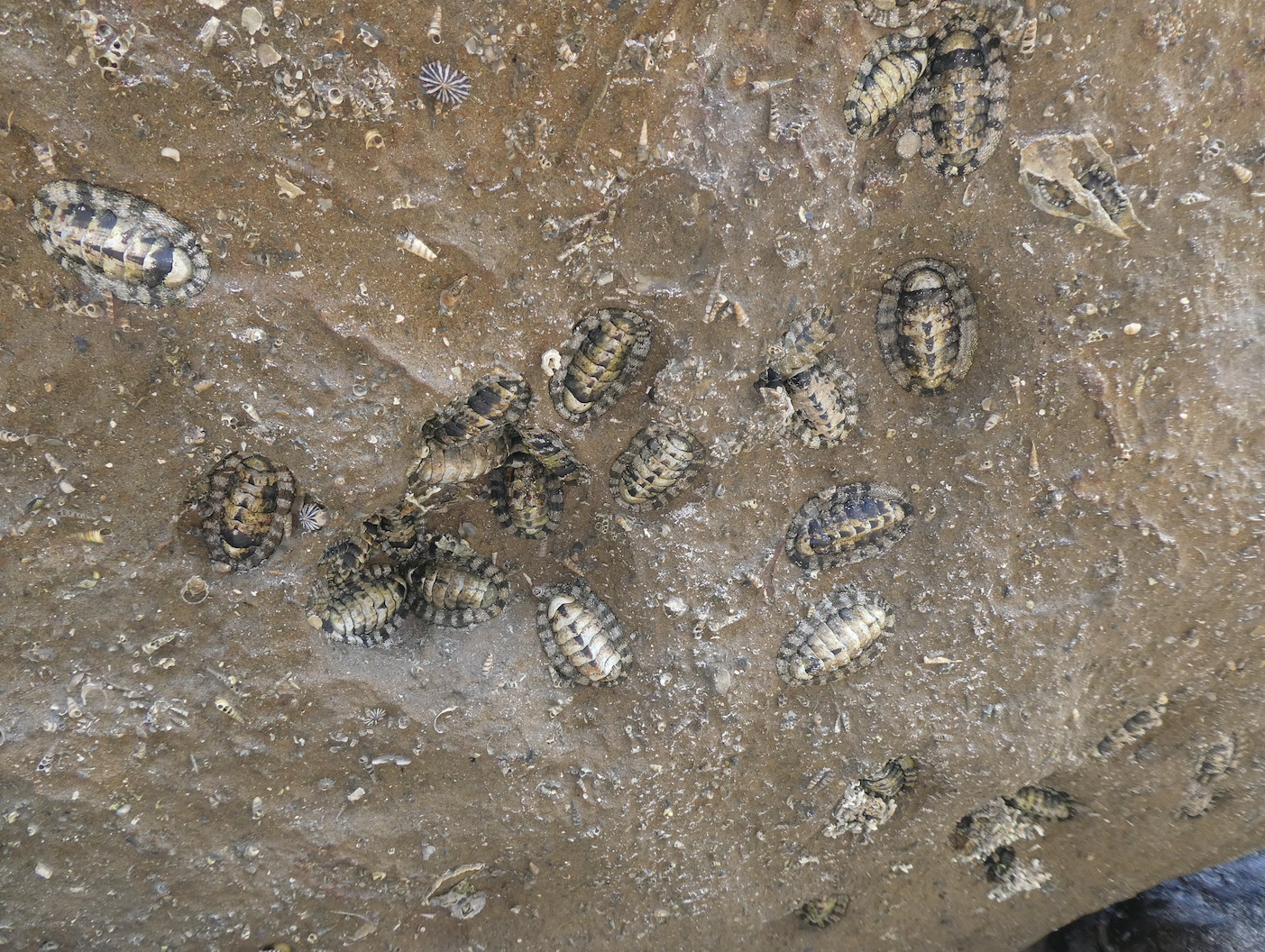


Myriad shells of varying shapes and sizes decorate every surface


along with ancient ancestors of the turritella sea snails.

Nature’s artwork surrounded us,


and with a little imagination, an ossified whale and porpoise.


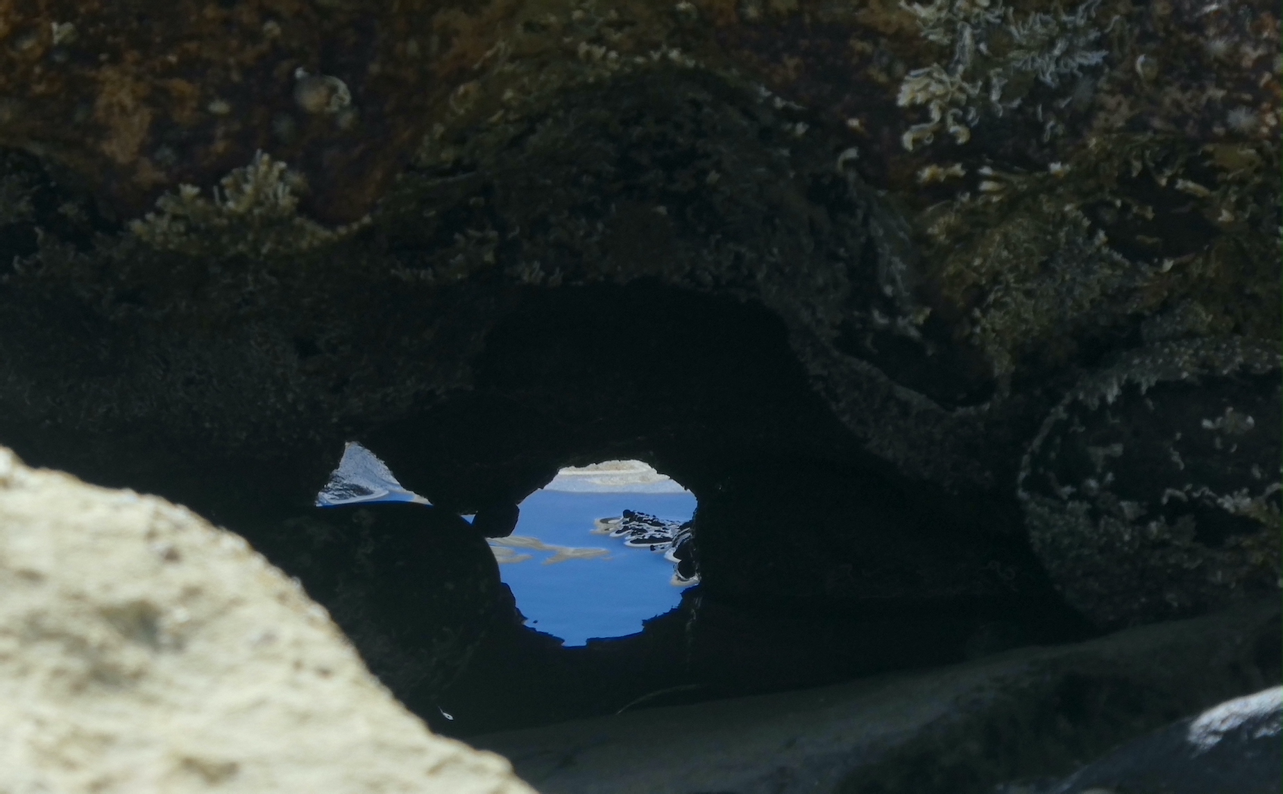
A lone slab of tessellated rock seemed out of place among its gnarly neighbours.
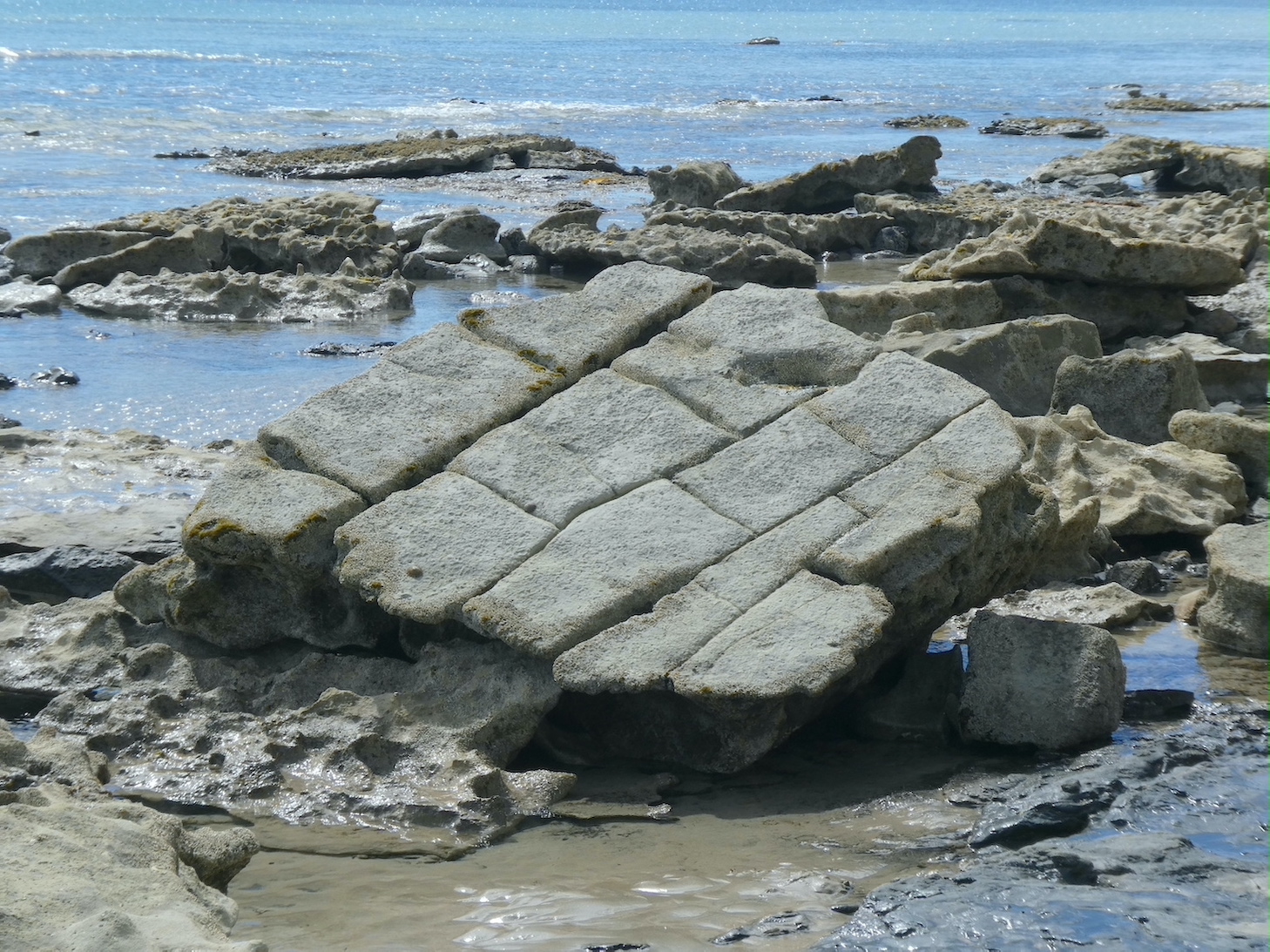
I was wondering why my niece was so interested in photographing this particular rock formation

until she showed me what she had captured. I stole her idea.