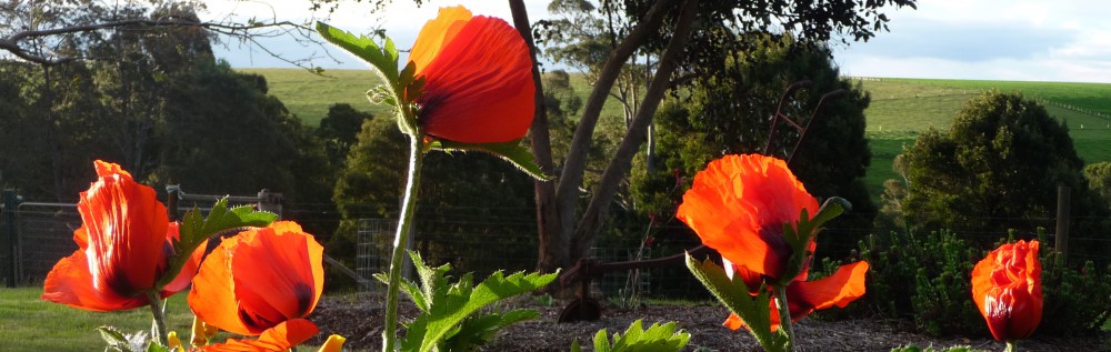
The Lyell Highway traverses Tasmania from Strahan on the west coast to the capital city, Hobart, in the south. Driving the 300km through the West Coast Range and Franklin-Gordon Wild Rivers National Park along the tortuous route is both tiring and exhilarating. On an unusually straight stretch of road, about 75km past Queenstown, we noticed a couple of cyclists taking a break at a small roadside rest area and stopped to investigate. We learned from the information board that this was the point of The Great Divide. Tasmania is divided into two distinct regions when it comes to climate, geology and vegetation and this divide is known as Tyler’s Line (named after Peter Tyler, a Tasmanian limnologist). The west has higher rainfall, poor acidic soil and the strong westerly winds of the Roaring Forties. The vegetation comprises rainforest, moorland and wet sclerophyll along with rugged mountain ranges.


Frenchmans Cap is the highest peak in the West Coast Range, named because of the similarity to the shape of the Liberty Cap worn during the French Revolution.

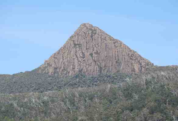
To the east of the divide, conditions are much drier and warmer with lower rainfall and more fertile soil. From our vantage point, the King William Range rose majestically on the horizon, similar in shape and geology to the more famous Cradle Mountain.

Made up of three separate peaks, named Mount King William I, II and III,


the King William Saddle is equidistant from Tasmania’s three major cities – Hobart (190km), Launceston (186km) and Devonport (193km), each one a three hour drive. Fortunately, we were only 10km from our destination of Pumphouse Point.

Very rugged country, wouldn’t want to get lost in it.
LikeLike
Escaped convicts on the west coast used Frenchmans Cap as a guide, not a terribly successful strategy!
LikeLike