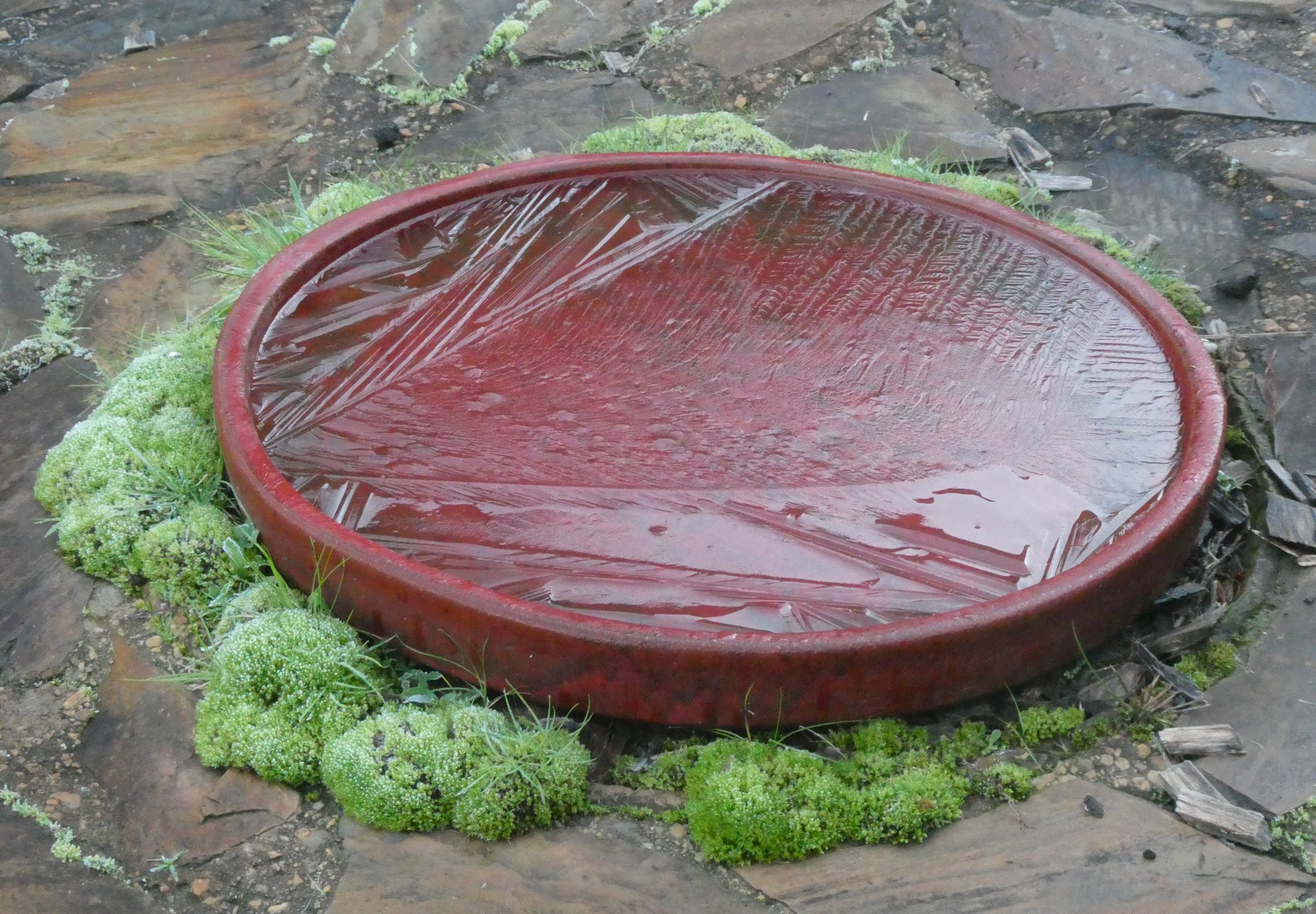
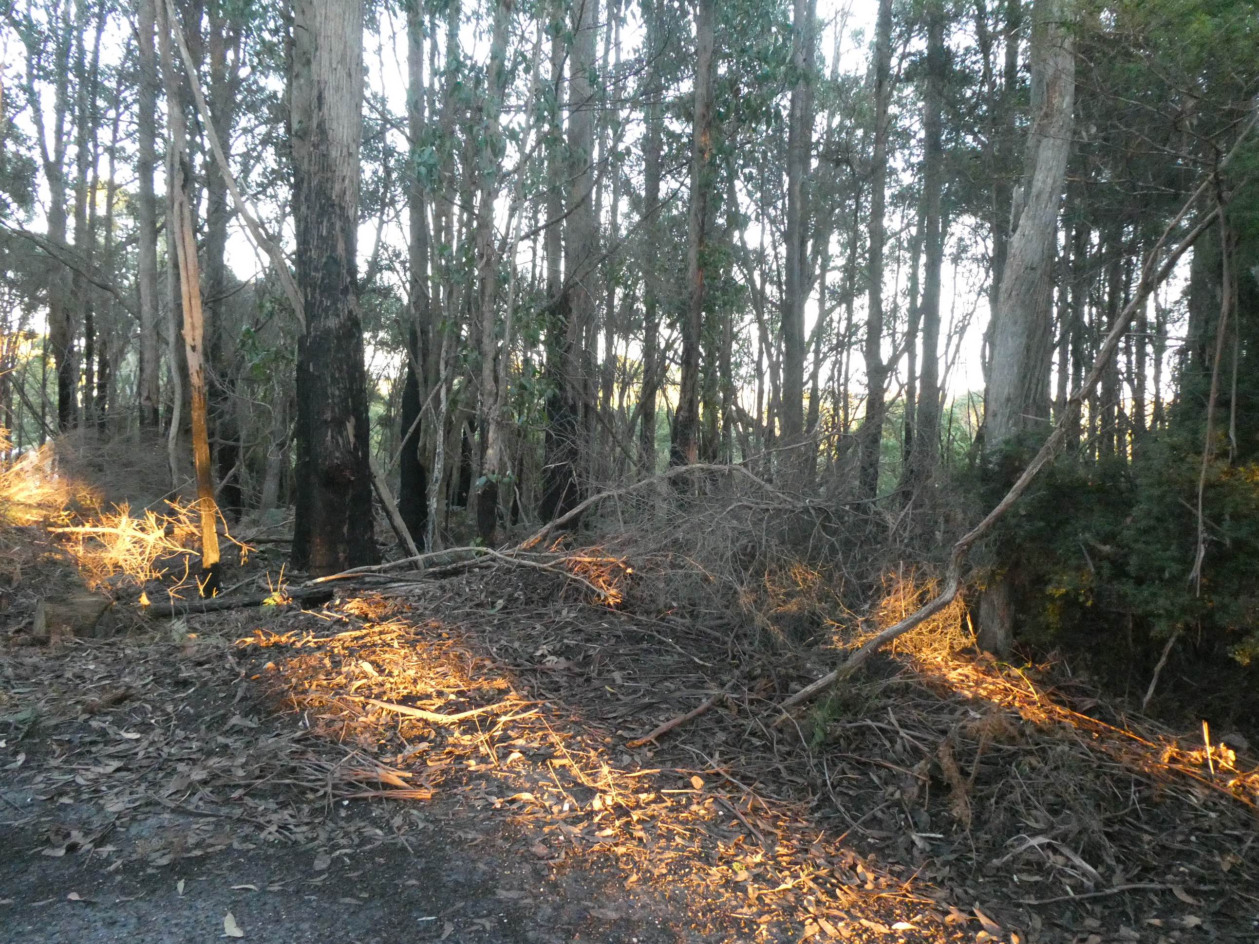
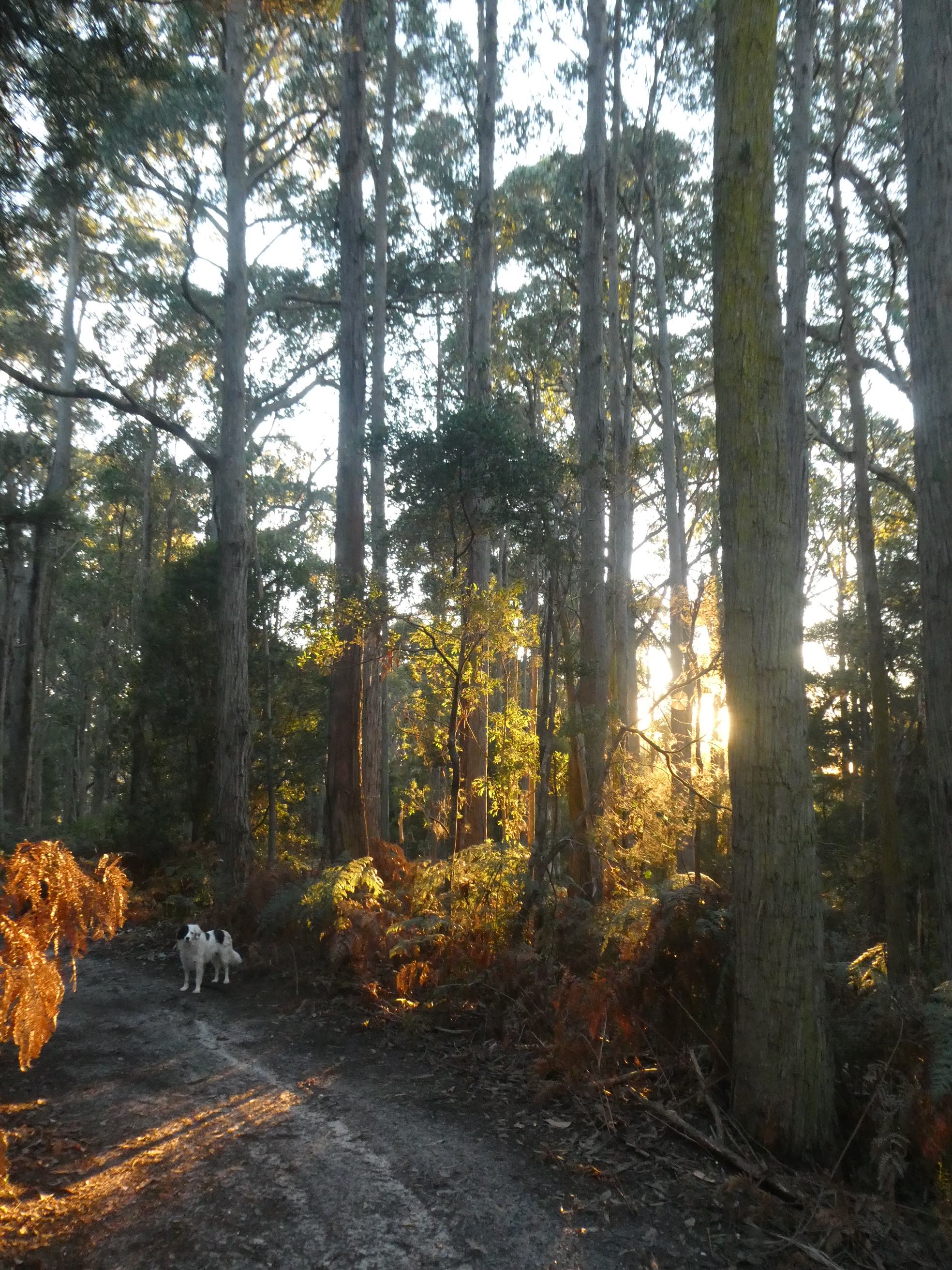
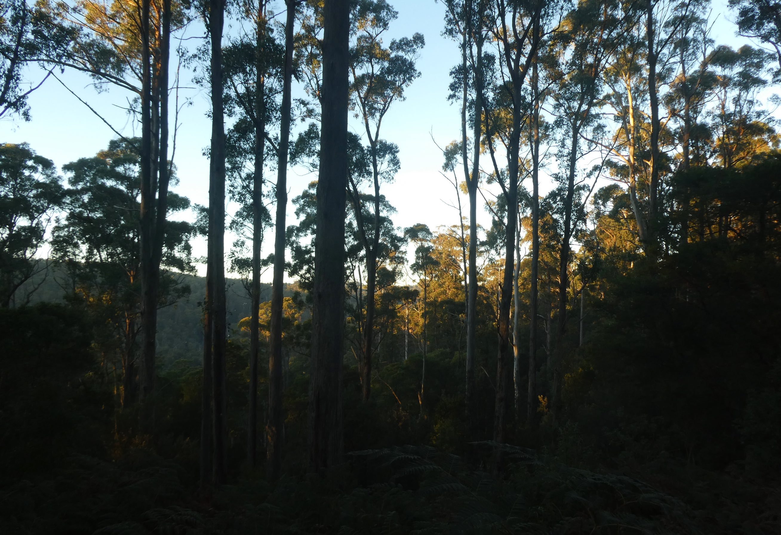
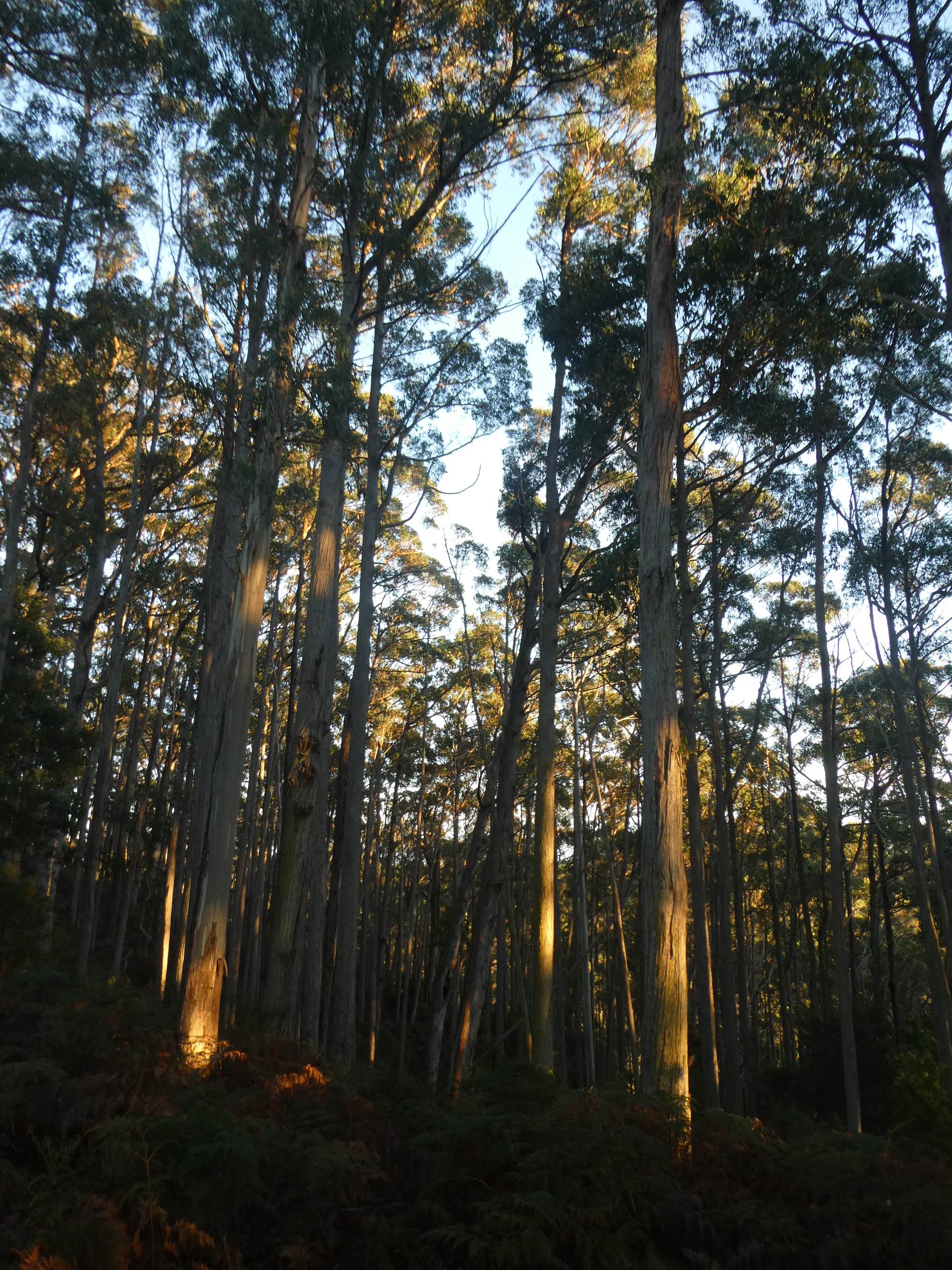
Having just returned from ten days in Darwin, I am struggling to adapt to the climate shock. Tasmanians are used to the four seasons and we enjoy the positive in each of them. Not long before my recent sojourn, I took Poppy for her morning walk into the Blythe Conservation Area that adjoins our property. There is no need to consult the BOM website to know the temperature has dipped into the minus, the frozen birdbaths are evident enough.
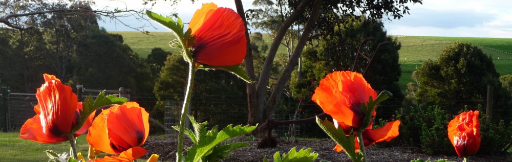
Risking frostbite to my digits, I transformed my thermal mittens to fingerless gloves (an ingenious design purchased at Cradle Mountain some years ago). Crossing the paddock, it seemed the forest was on fire with the trees reflecting the glow of early sunlight.
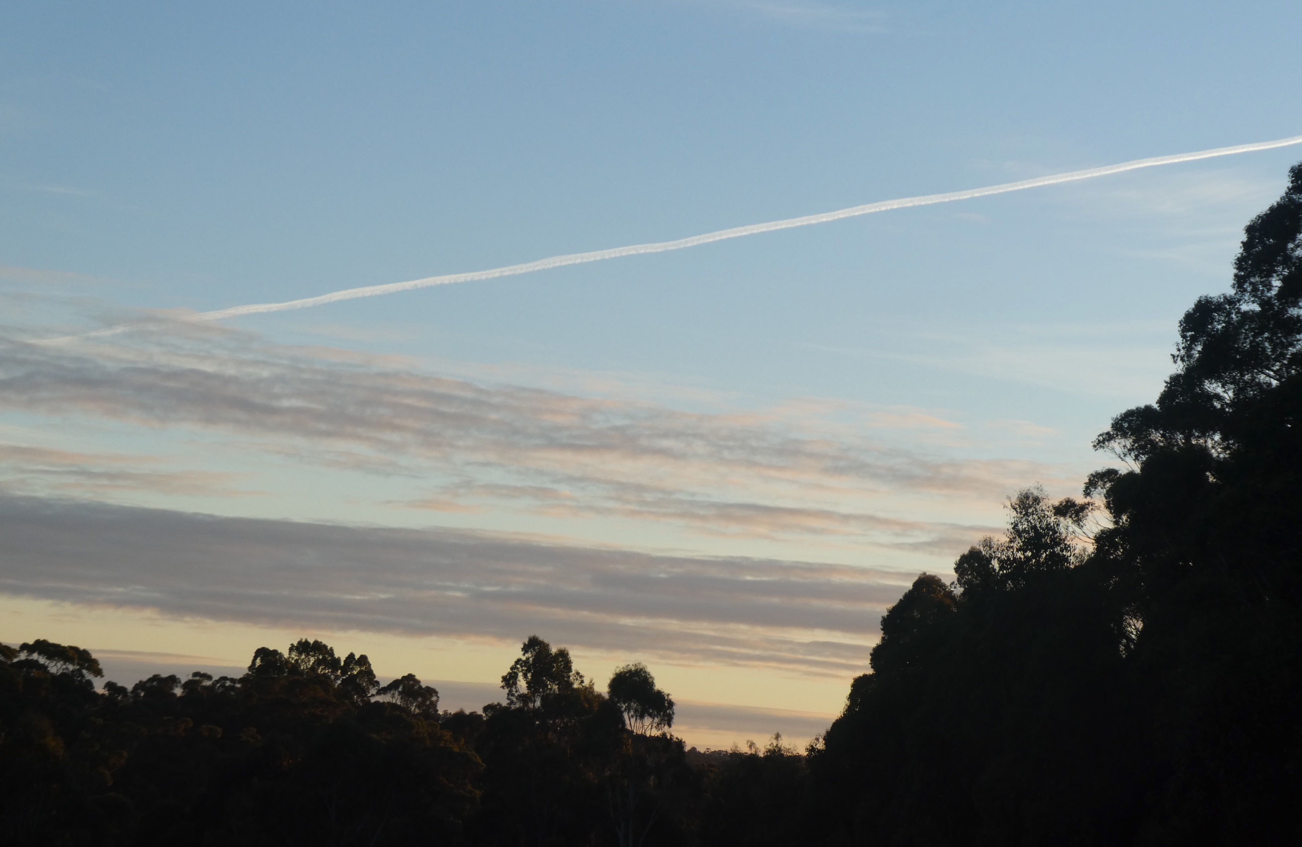
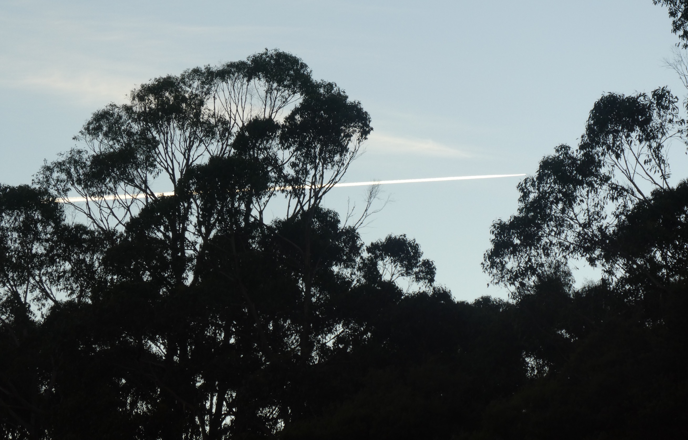
To the north, an aircraft’s vapour trail draws a line across the pale blue sky.
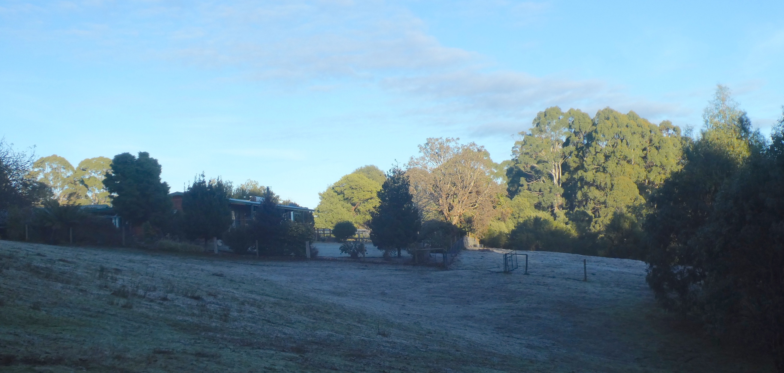
Looking back, the frost is heavy on our house roof
and the neighbour’s horses are rugged up against the cold.
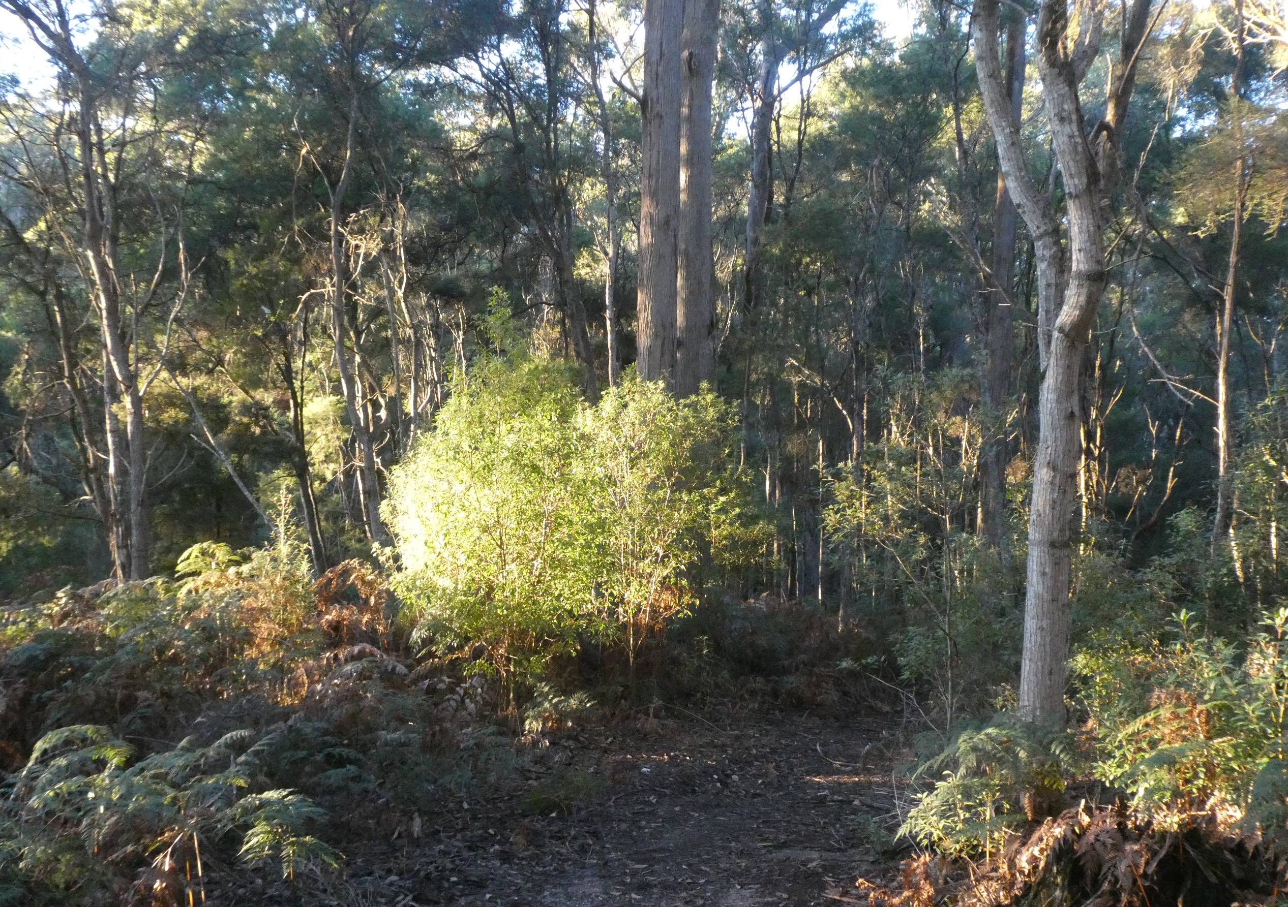
Once into the forest, brushfires of rising sun create autumnal hues
and someone is patiently waiting for me to catch up.
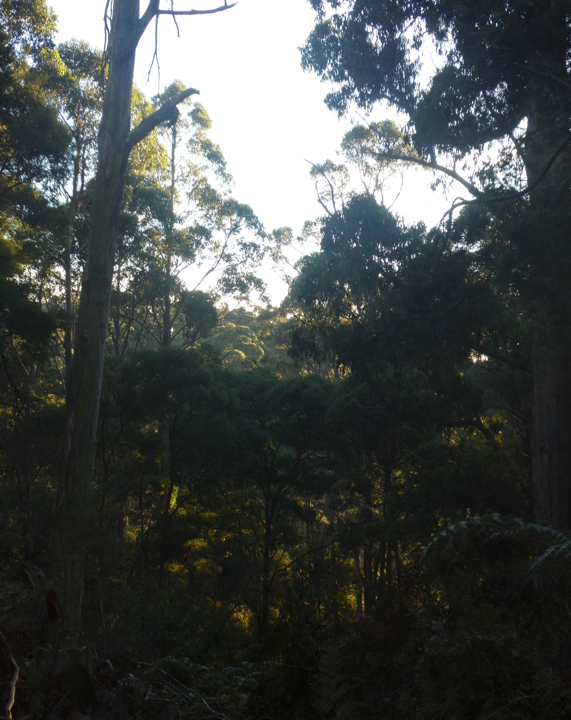
Further into the woodland, I have stumbled into paradise,
even Poppy takes a moment to appreciate the spectacle.
We may have trespassed into sacred sulphur-crested cockatoo territory at the end of the trail, the ear-piercing screeches from on high warned others of our presence.
Retracing our steps, highlights from ascending Sol lingered
and the frosty paddocks would soon warm to the glow.
Reclaimed garden edging and fallen leaves hold onto the frost
but the daffodils are promise of the coming spring.
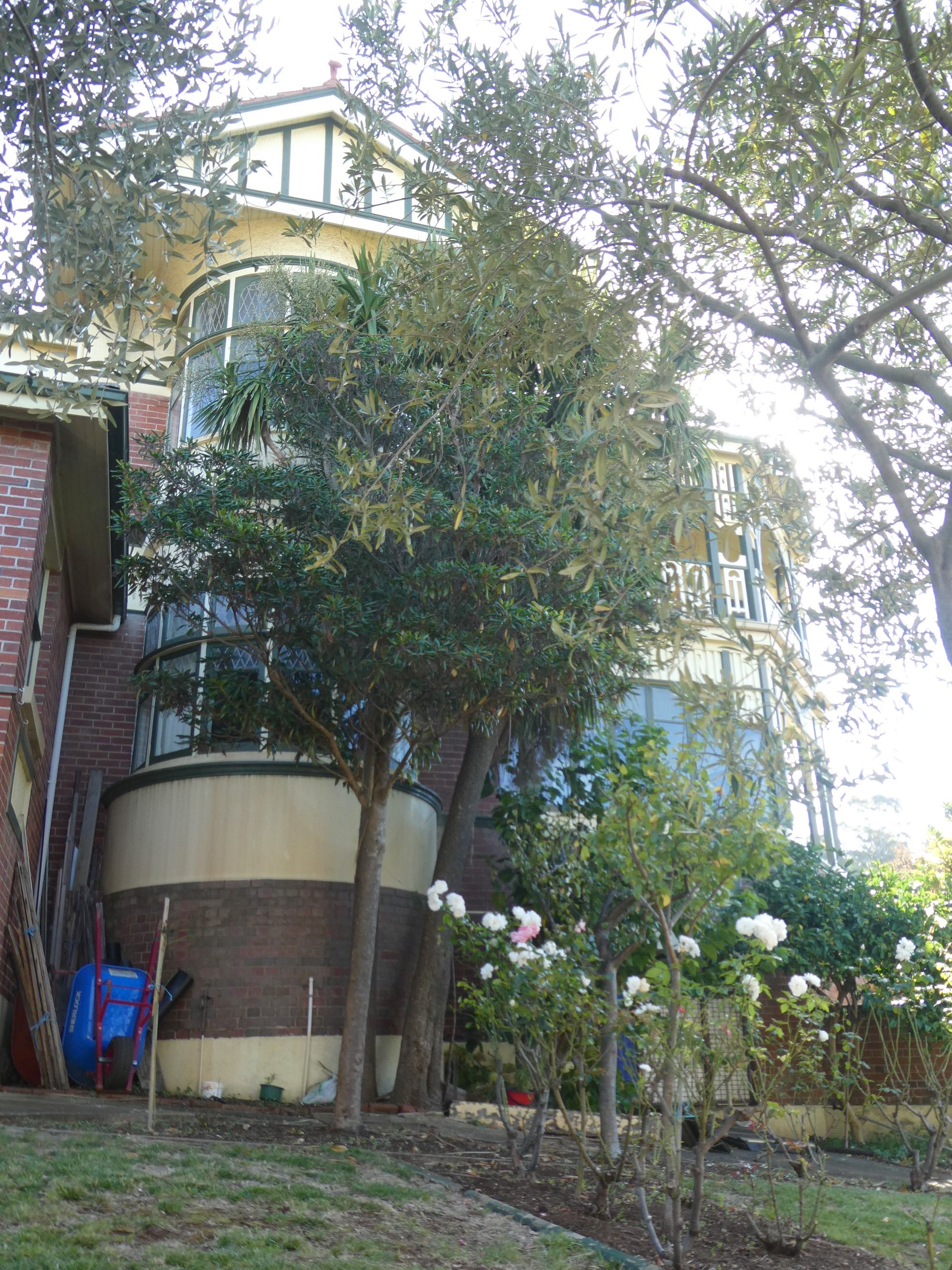
The town of Burnie in northwest Tasmania began to boom after the discovery of tin at Waratah in 1871. Two years later,the Mount Bischoff Tin Mining Company was floated and in 1875, the VDL Company moved its headquarters from Stanley to Burnie. The tin was transported to the Burnie Port, the horse-drawn wooden rail tramway was replaced in 1884 with steam trains and steel rails. The relevance of this (yes, I’m getting there) is that it brought the wealth and impetus to build the magnificent Federation architecture that abounds in Burnie today. Some time ago, I came across a leaflet for ‘Federation Walks of Burnie’ and only recently, on a sunny afternoon, indulged in a journey of discovery. It transpires that many of the buildings from this period are reflective of the Federation Queen Anne style, a fine example being the house known as Wyona.
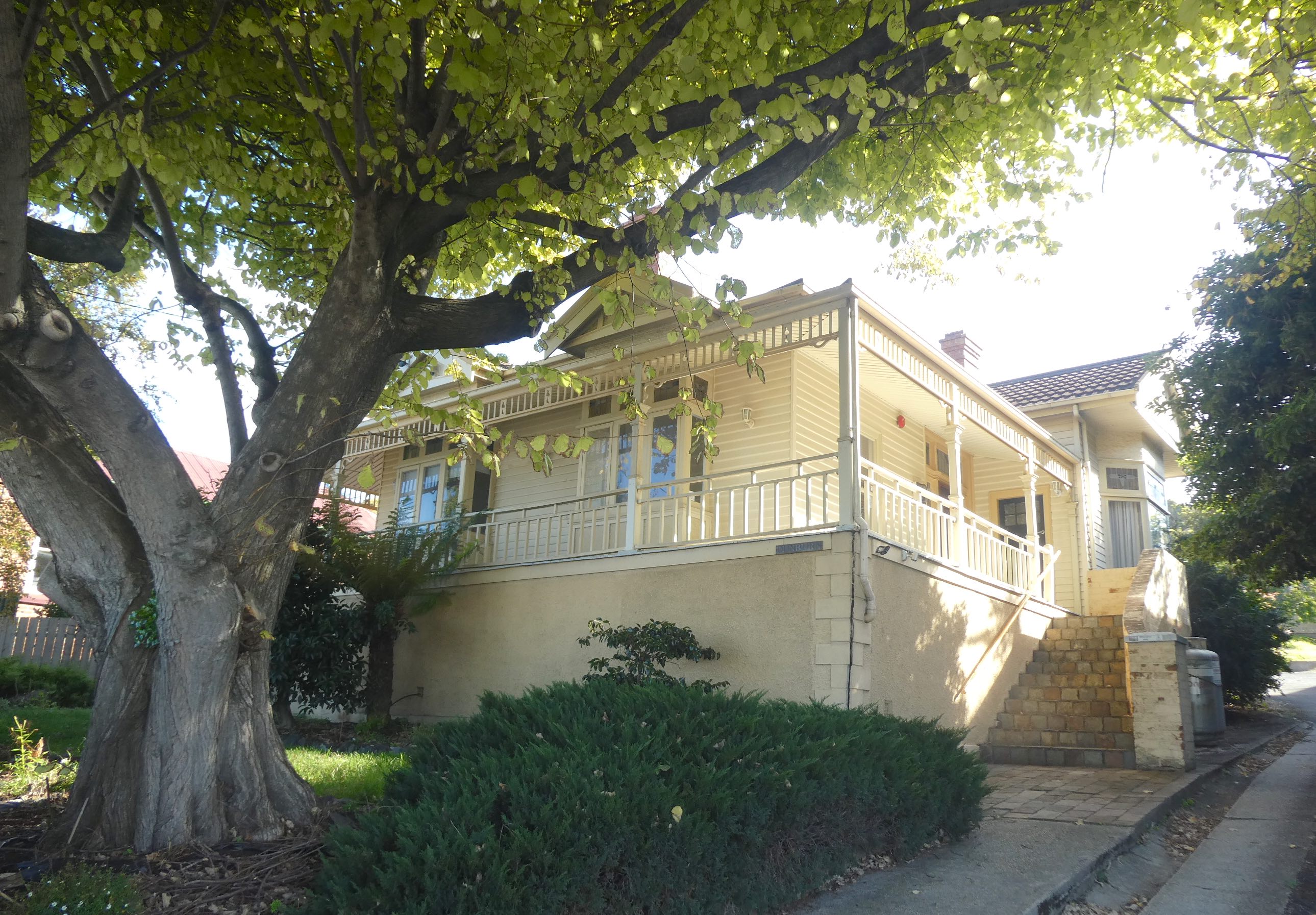
Built in 1914 for Edward Alfred Joyce, a leading Tasmanian manufacturing jeweller, the house sits in a prominent position above the town on William Street on a bend where the name changes to Queen Street. Bow-windowed bays with prominent gables face both streets and a verandah projects diagonally between the two, making the most of views across the city and sea. The Tasmanian State Institute of Technology established a study centre at Wyona in 1983 and it is now the private residence of the Mayor of Burnie.
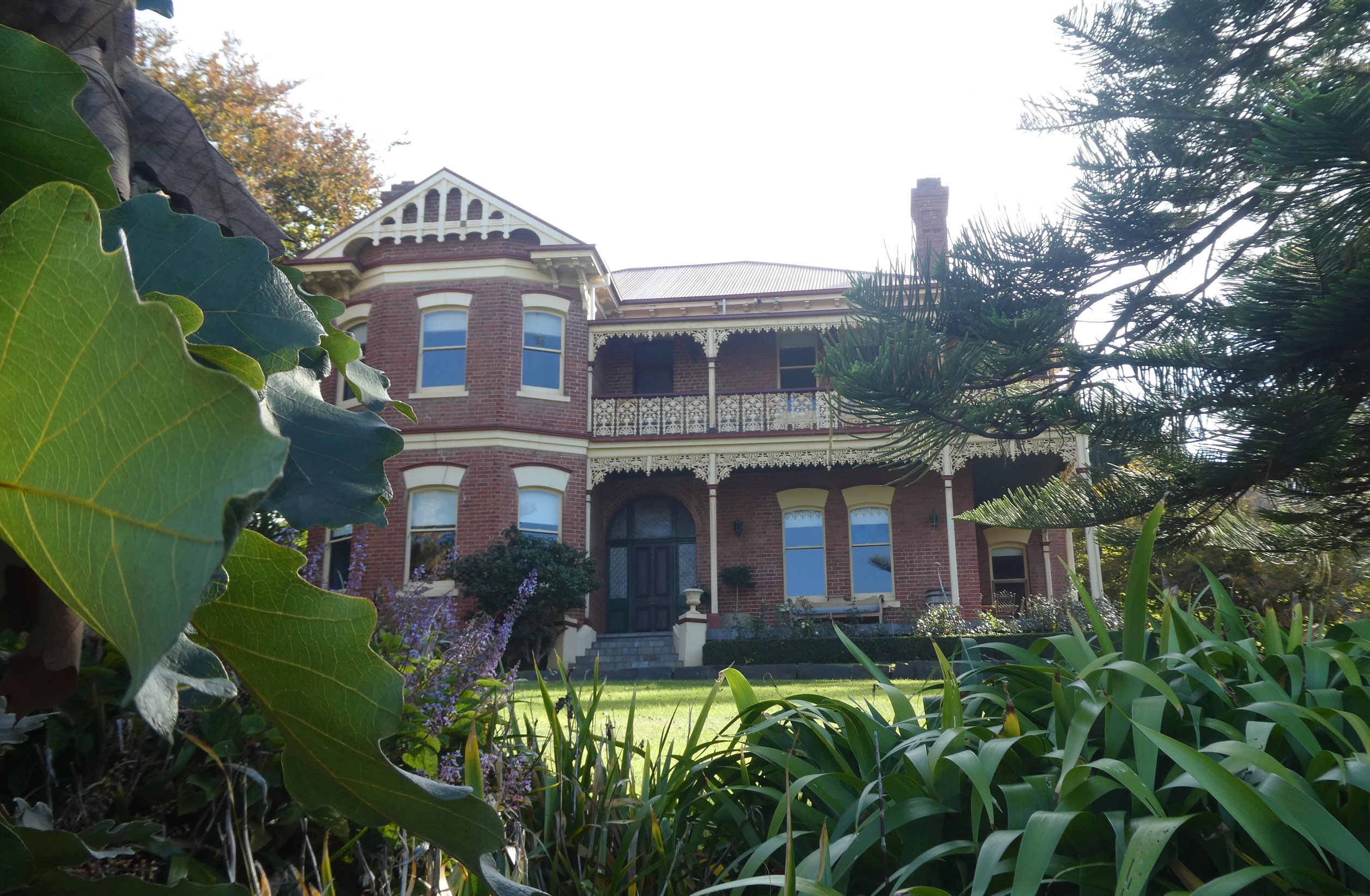
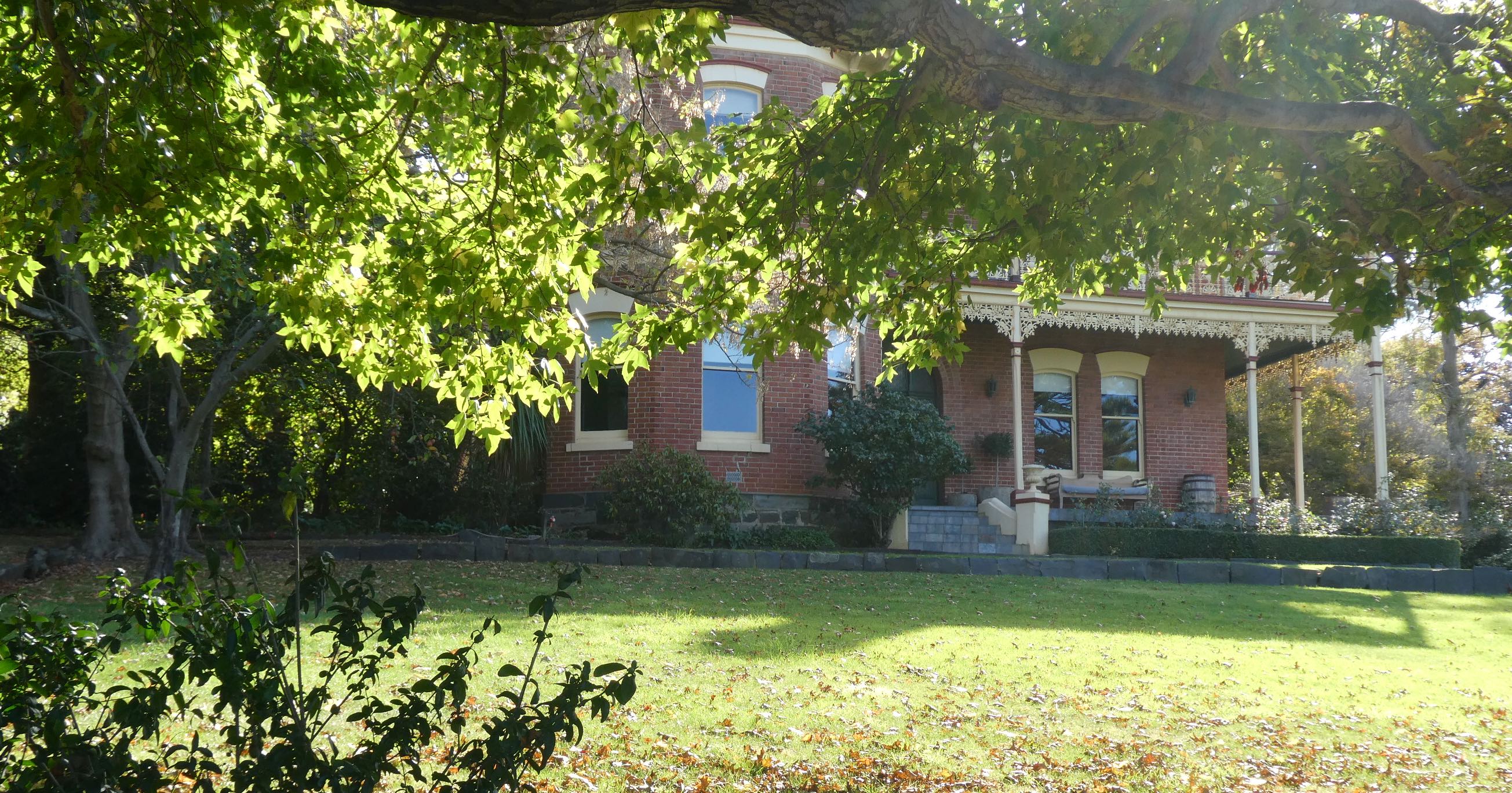
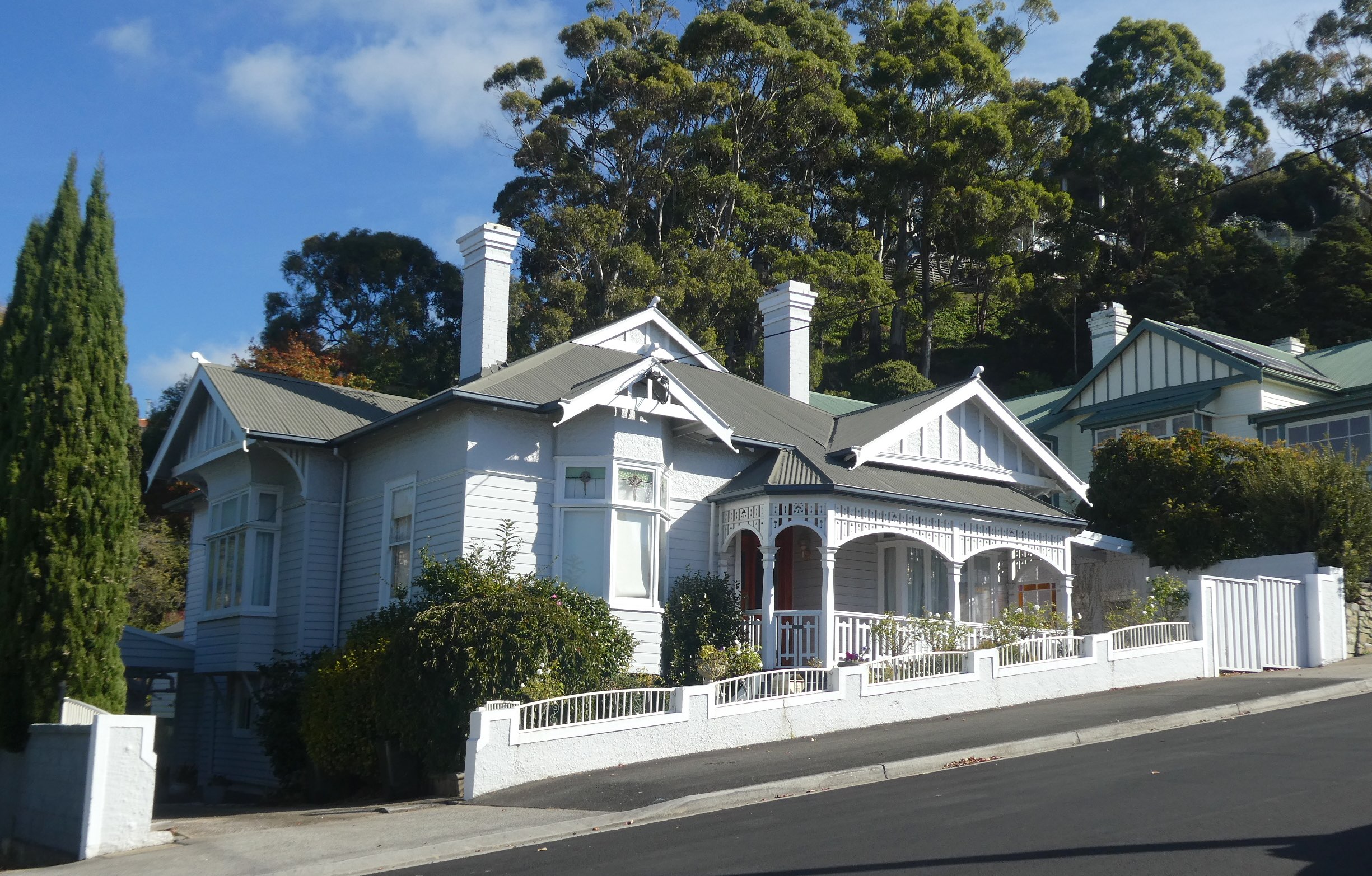
Continuing down Queen Street, Kandaha is a magnificent home built in 1888.
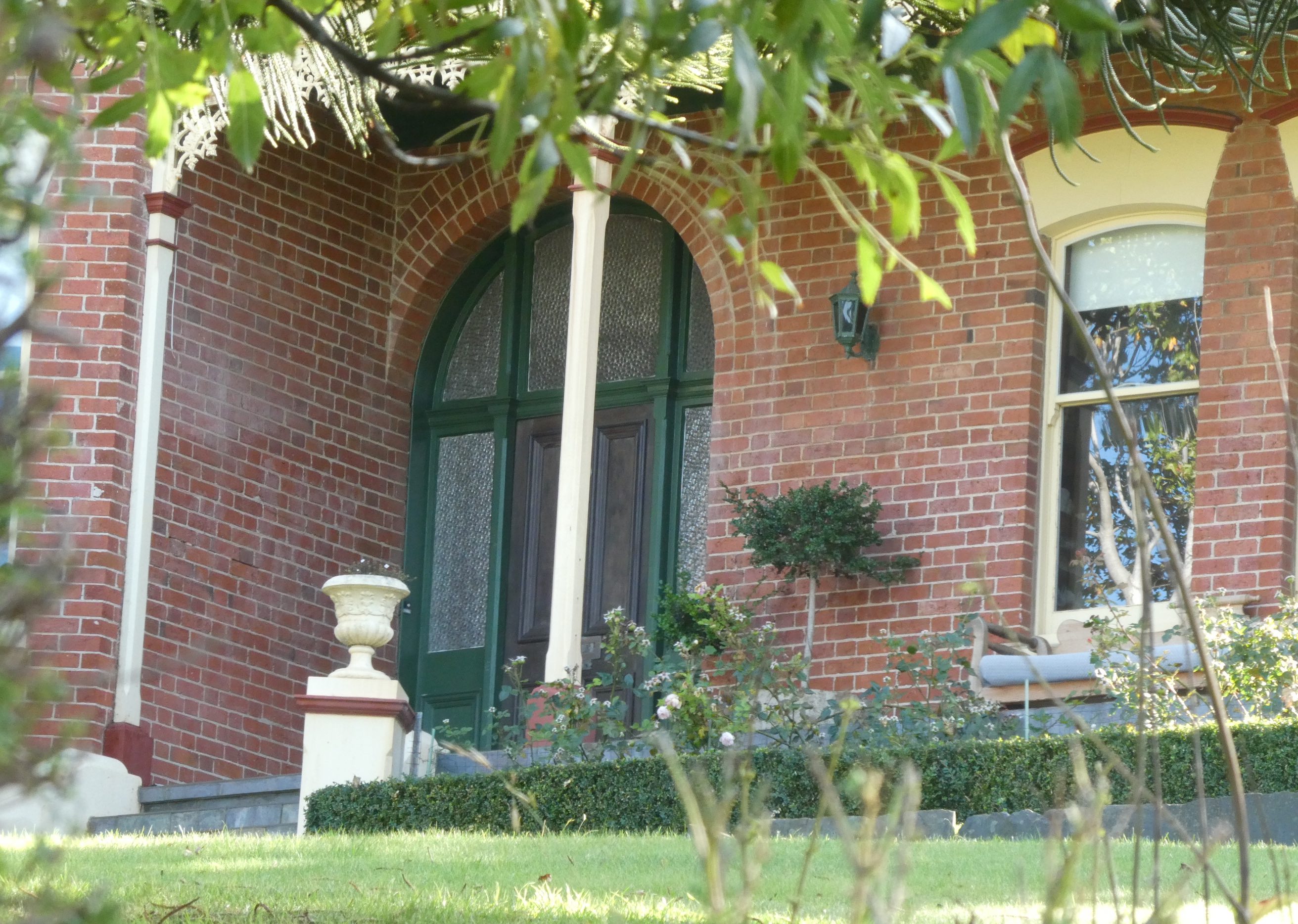
Set in an acre of immaculate gardens, the wide verandah is decorated with intricate cast iron brackets, fringe and railings. This was becoming rare, as cast iron was replaced in favour of machine-cut timber for balcony and verandah decoration by 1900.
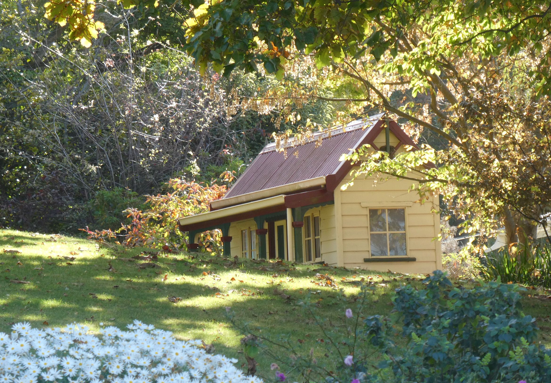
Outbuildings include the original laundry with Huon pine washtubs but I’m not sure if this is it.
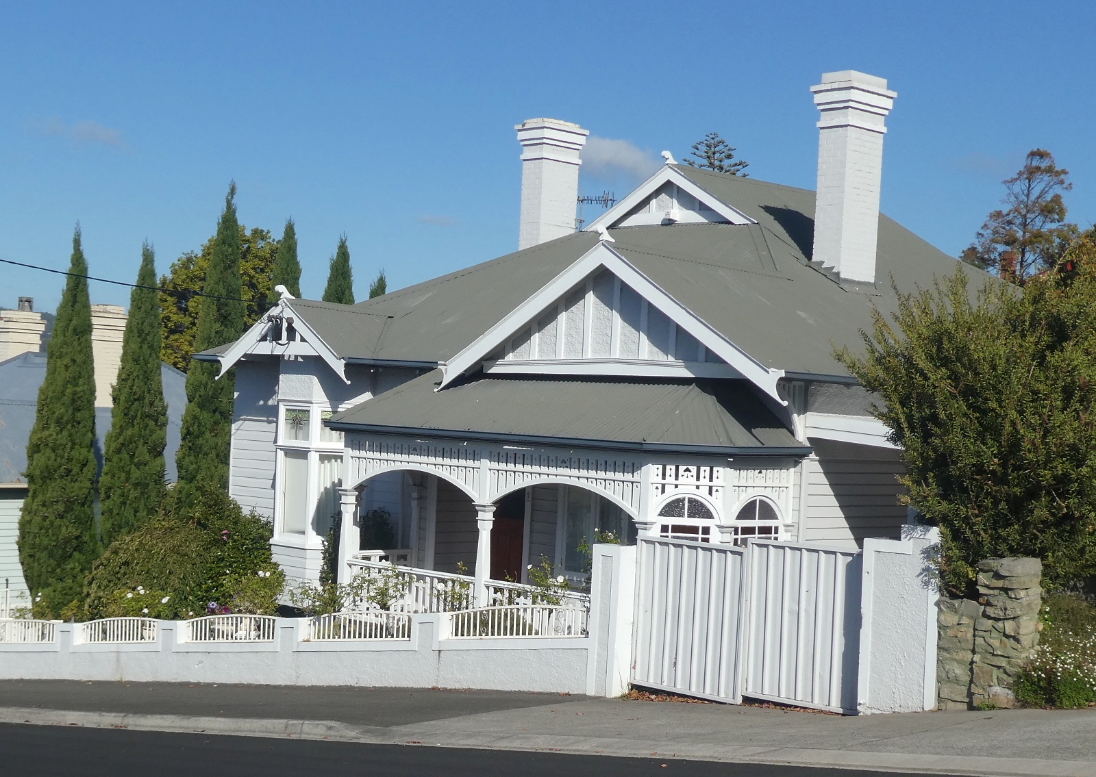
Queen Street was originally called Chaff Street and apparently became known as ‘Rotten Row’ due to the sub-standard housing at the time. Obviously, the area improved and in 1907 the street was renamed after Queen Alexandra of Denmark, wife of King Edward VII. In a region of rich timber resources, weatherboard became the preferred building material. Many Federation Queen Anne residences are an ‘L’ shape plan with a front room projecting forward toward the street and a verandah extending along the remainder of the frontage. Concealed within a mature garden, number 30 Queen Street was constructed in 1906 and has many of the additional characteristics of the era such as a prominent gable with half-timbered effect, valance and bargeboards with finial.
Francis Tallack is credited as being the ’architect of Burnie’ and was responsible for the construction of hotels and numerous business premises as well as private homes. Number 24 Queen Street was built by Tallack in 1910, the large front room windows face the sea and double verandah posts and curved timber have been used to create the decorative valance.
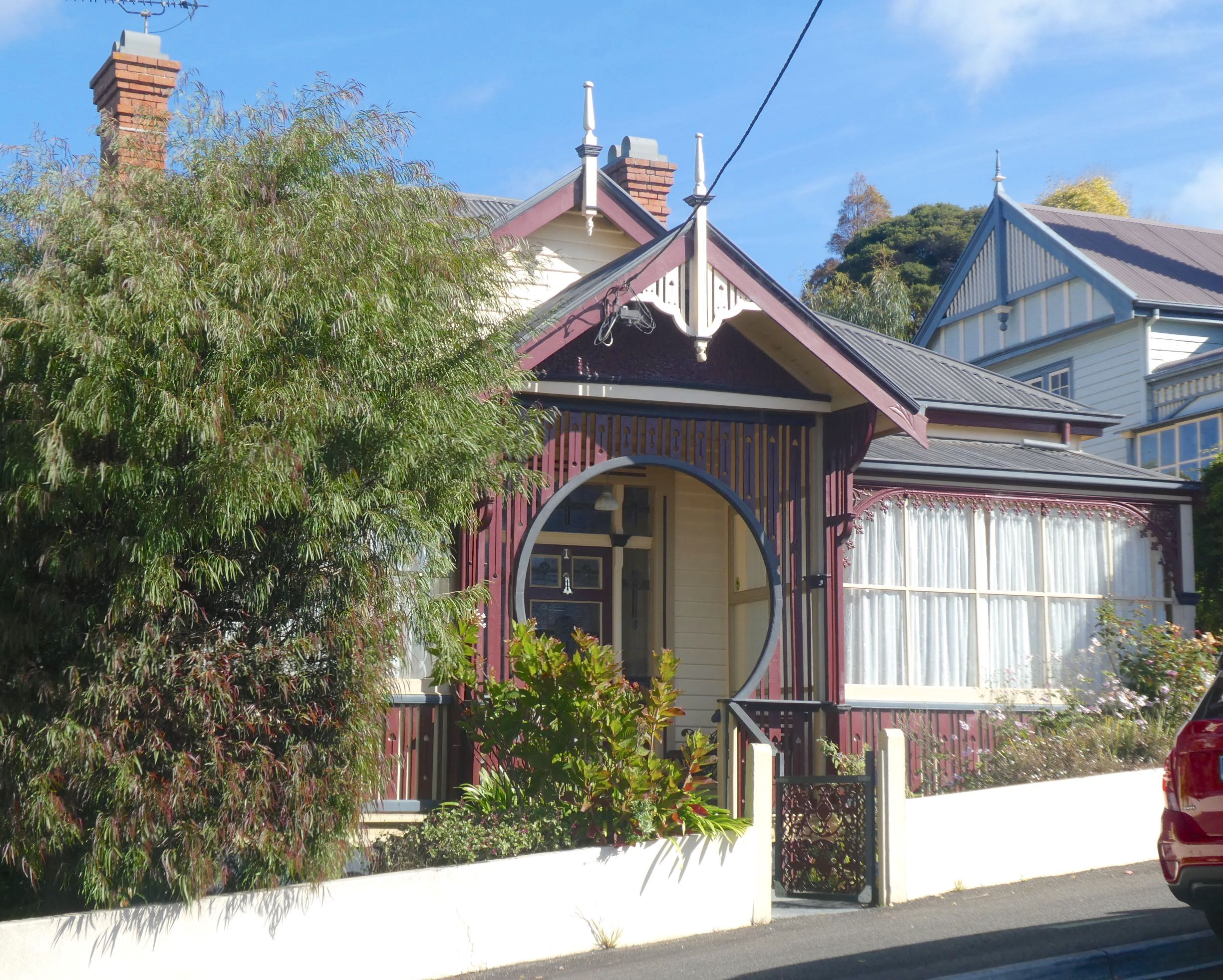
Just around the corner on Princes Street, number 1 is the house where Francis Tallack lived. The remarkable keyhole entrance is surrounded by decorative timber that continues along the verandah railing and the front door features Art Nouveau leadlight.
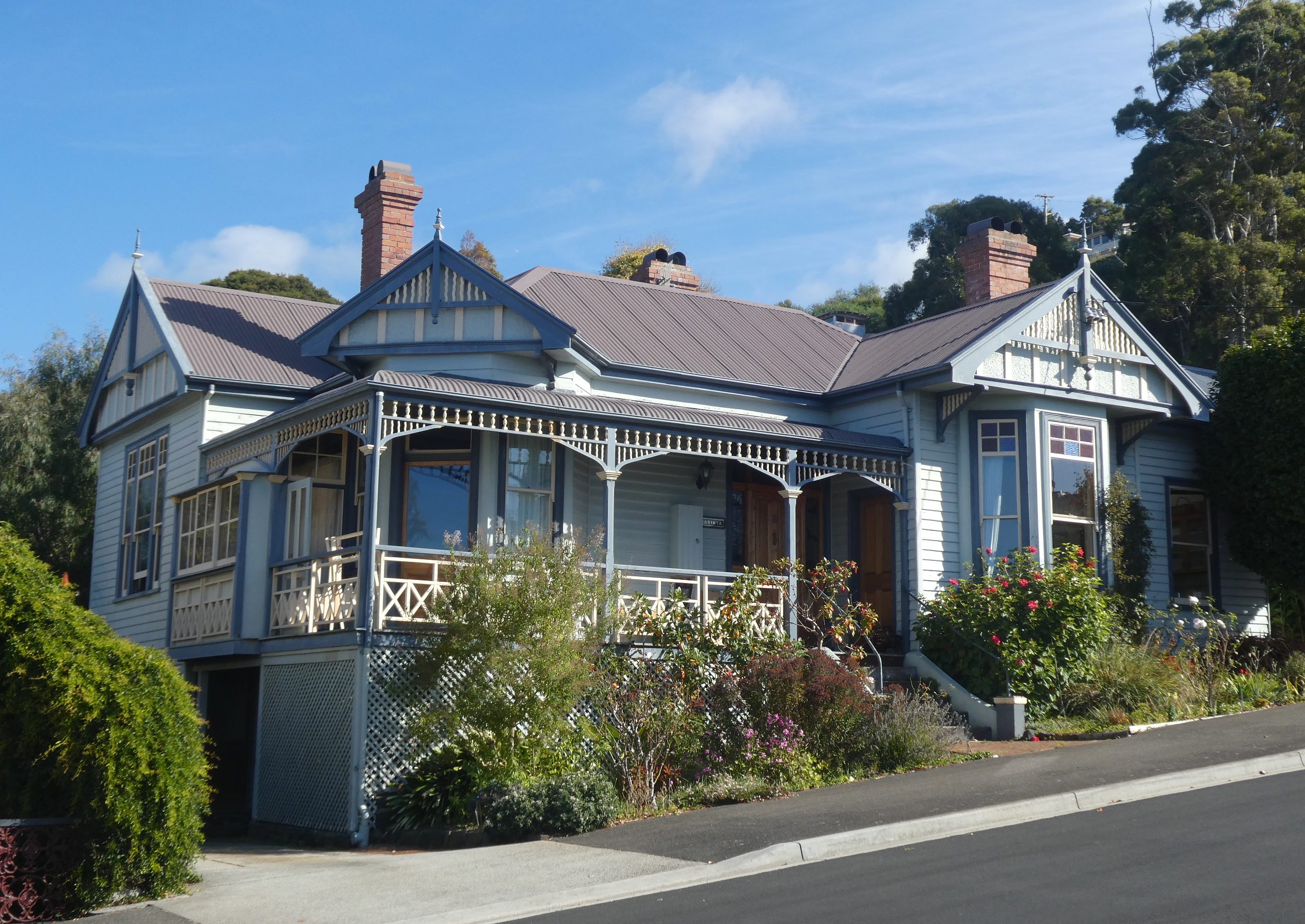
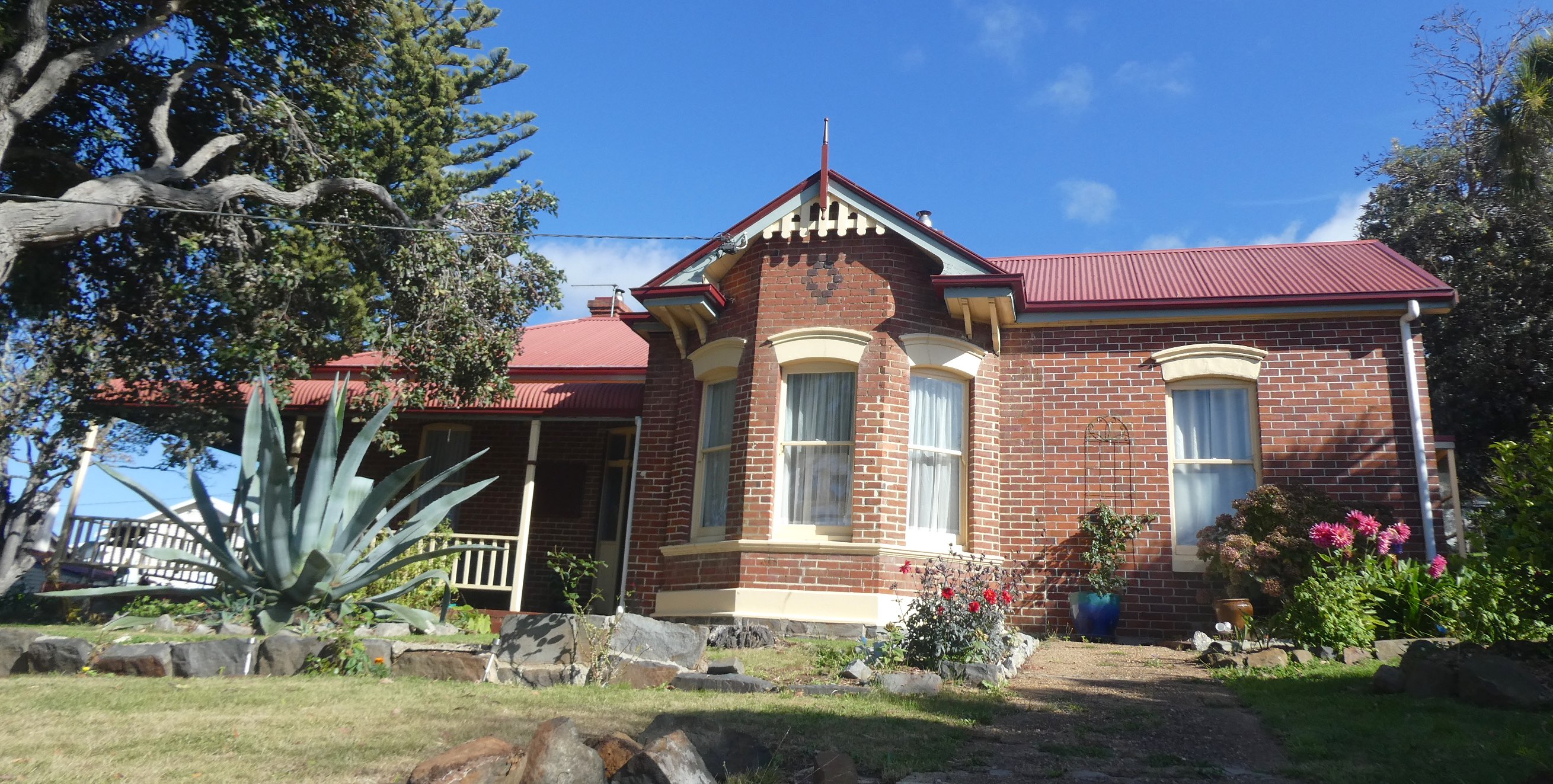
Princes Street is not a long street but the houses are stunning. It was originally the private driveway of a well-known homestead, Berthonville, and was renamed in 1907 after the three sons of King Edward VII and Queen Alexandra. Carinya (number 3) is beautifully maintained, decorative timber embellishments, tall chimneys and simple leadlight enhance the façade.
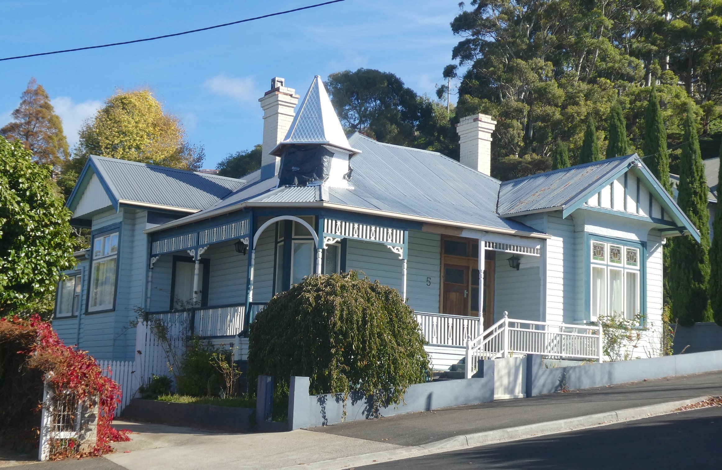
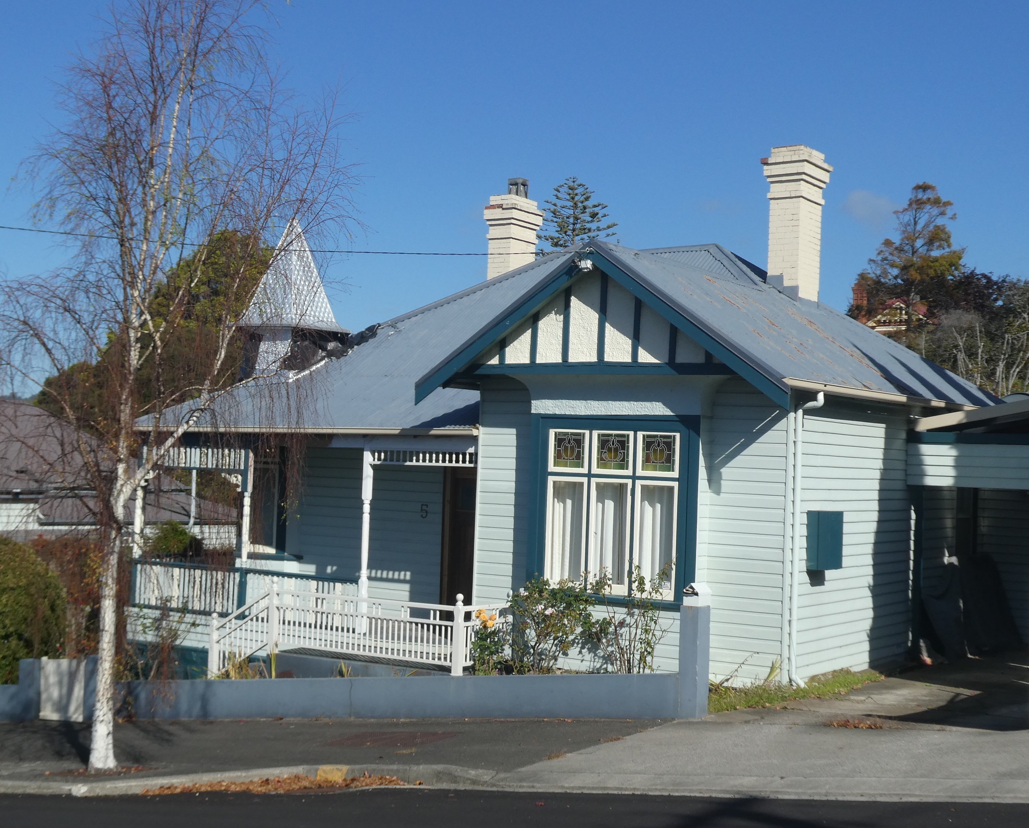
I would love to see inside these homes. The decorative timber continues into the hallways, mantels and wall panelling and some have the Art Nouveau touch of pressed metal ceilings. Number 5 Princes Street has an interesting turret, though I’m not sure if it is original or a later addition.
Heritage listed number 7 has all the features of the Federation Queen Anne style and is, again, superbly presented.
Across the road, another keyhole entrance leads to the verandah at number 2.
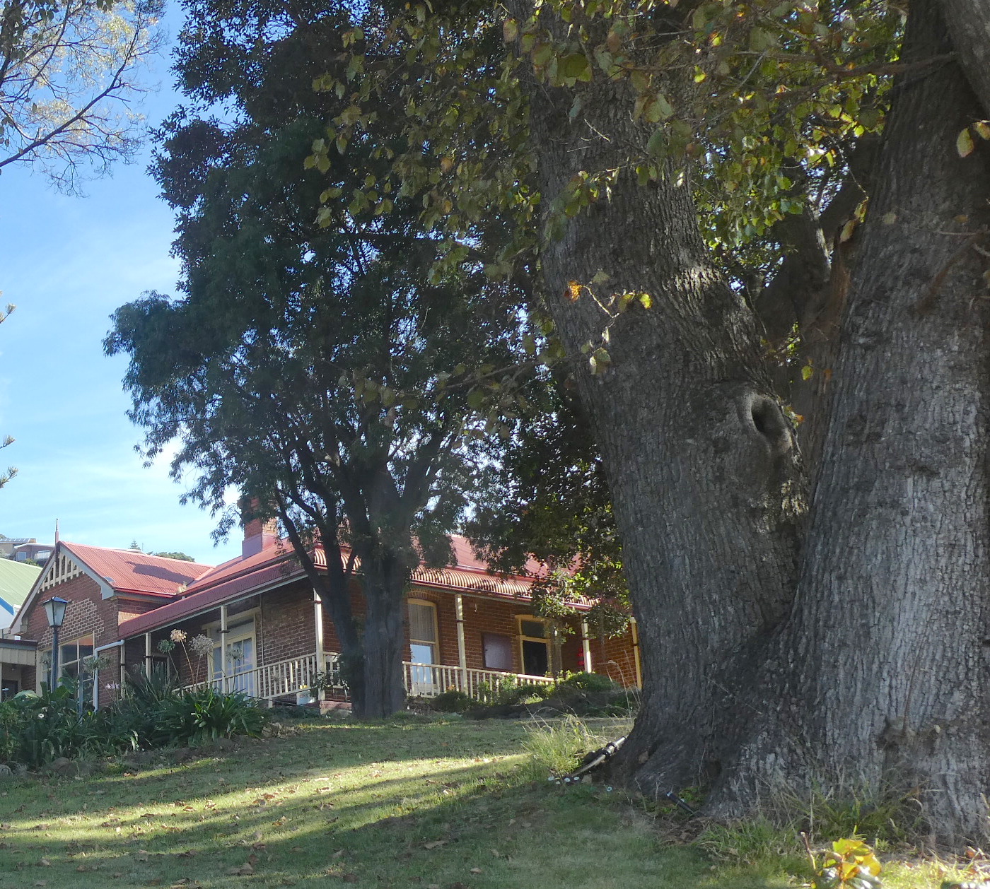
Back on Queen Street, number 22 was built in 1908 by Joseph Alexander who also built the heritage listed Ikon Hotel in Burnie. The warm red of ‘Burnie brick’ makes a change from the weatherboard façades of the era and is complemented by the paint colours on trimmings.
Nearing the end of my ‘guided’ stroll, number 20 Queen Street is a late example of the architectural style, having been constructed in 1923.
At the bottom of Queen Street, running parallel to the ocean, is Olive Street. This was the former driveway to the property known as Olive Grove, home to Joseph Law who built the Burnie Inn, the first licensed premises in Burnie that opened in 1847. Manresa, at number 7 Olive Street, was built around 1900 by Captain William Jones, a prominent local identity known as the ‘King of Burnie’. Jones was a very successful Burnie business owner and entrepreneur, owning the Burnie brickyard, hotels, butter factory, abattoir, cordial factory, timber and mining holdings and several farms. He lived in his mansion, Menai, in South Burnie and built Manresa for one of his sons.
As I delve further into the history of Burnie, I am boggled by the enterprising people who had vision for this town nearly two hundred years ago. Hopefully, the heritage of this region won’t be lost and will come to be appreciated by future generations.
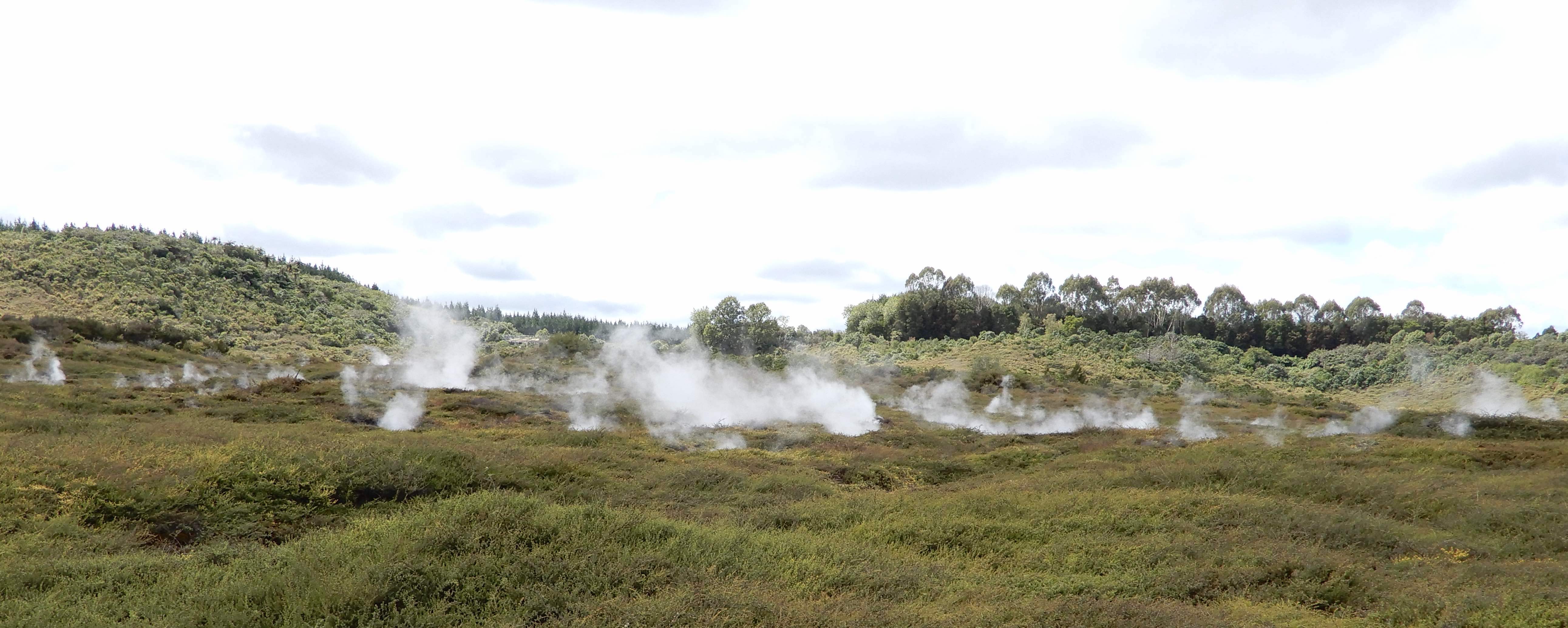
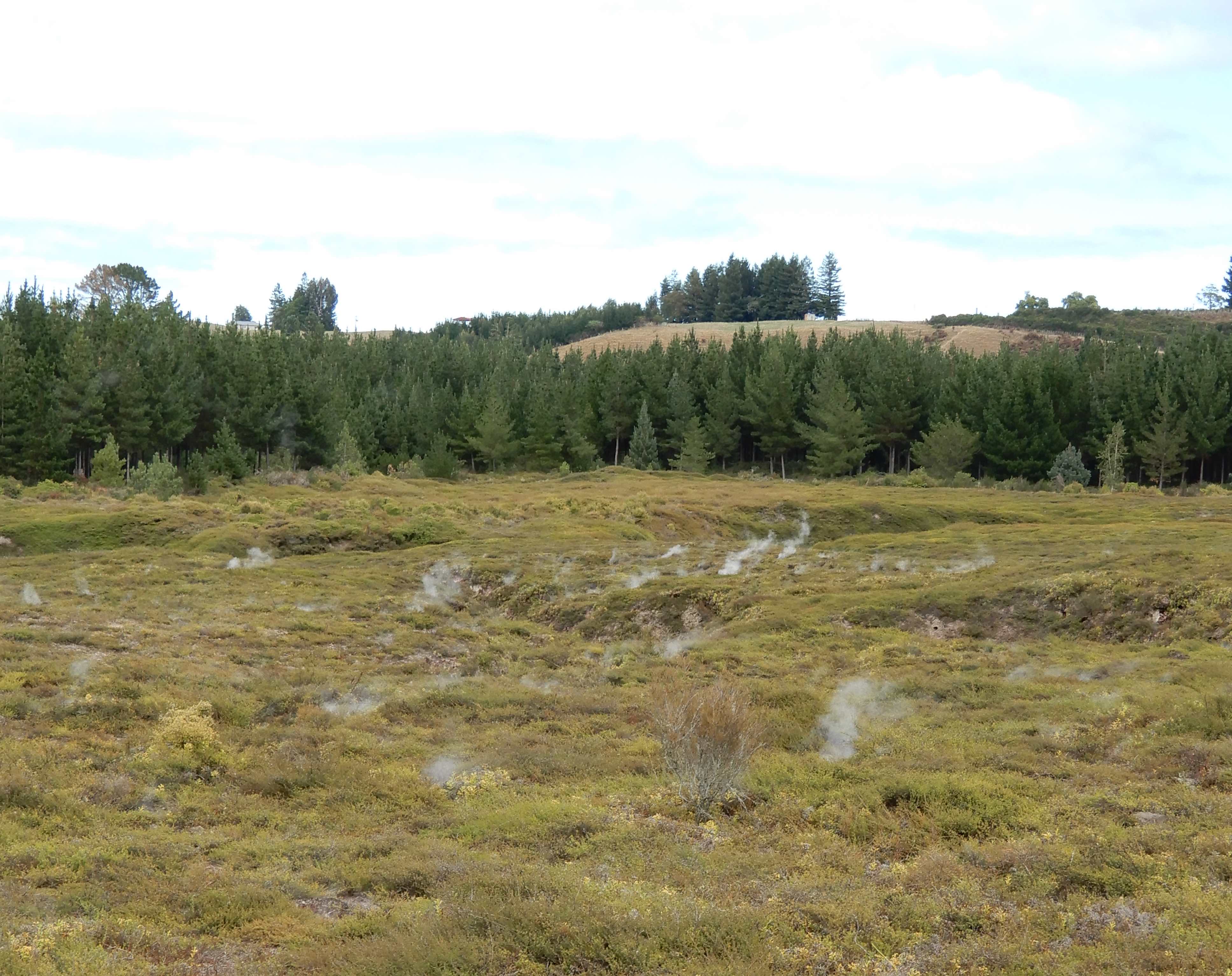
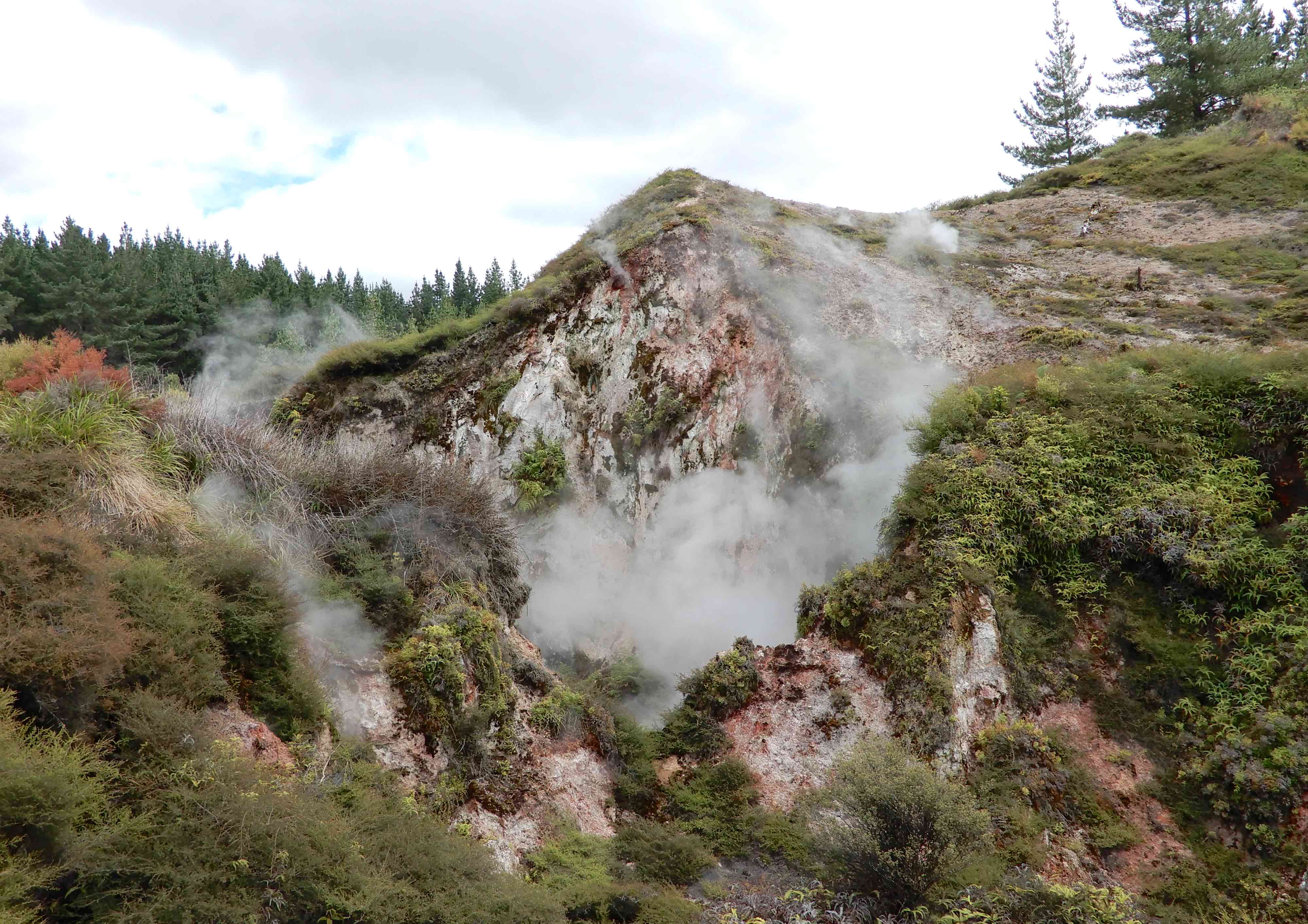
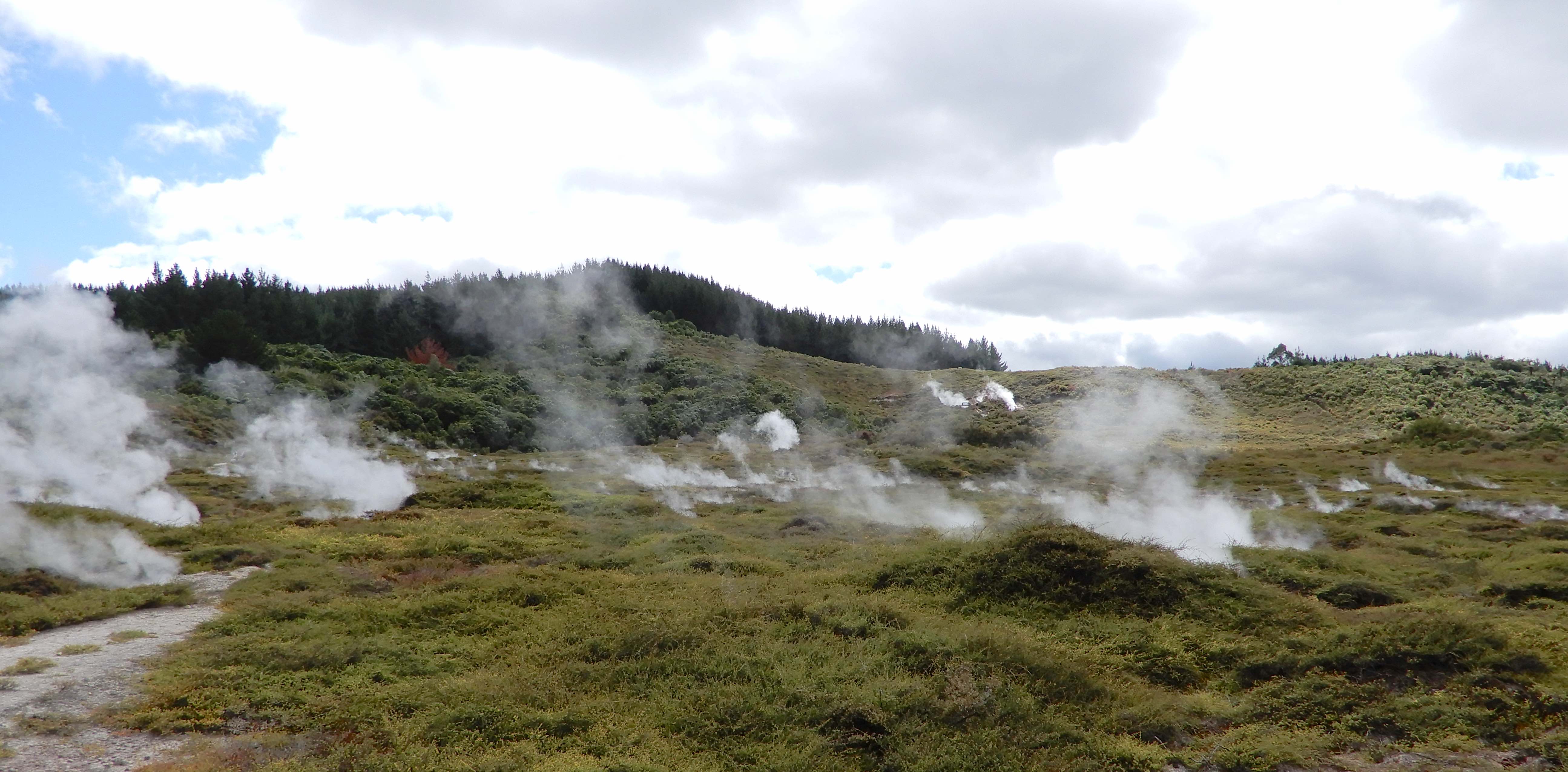
Leaving Huka Falls, we were intrigued by signage to ‘Craters of the Moon’ and thought it warranted a closer look. This fascinating steamfield is part of the Wairakei geothermal field, the largest in New Zealand.
When the geothermal Wairakei Power Station was built in the 1950s, underground water levels were lowered and the hot water from deep within the field rose to the surface, emitting steam through any vent it could find.
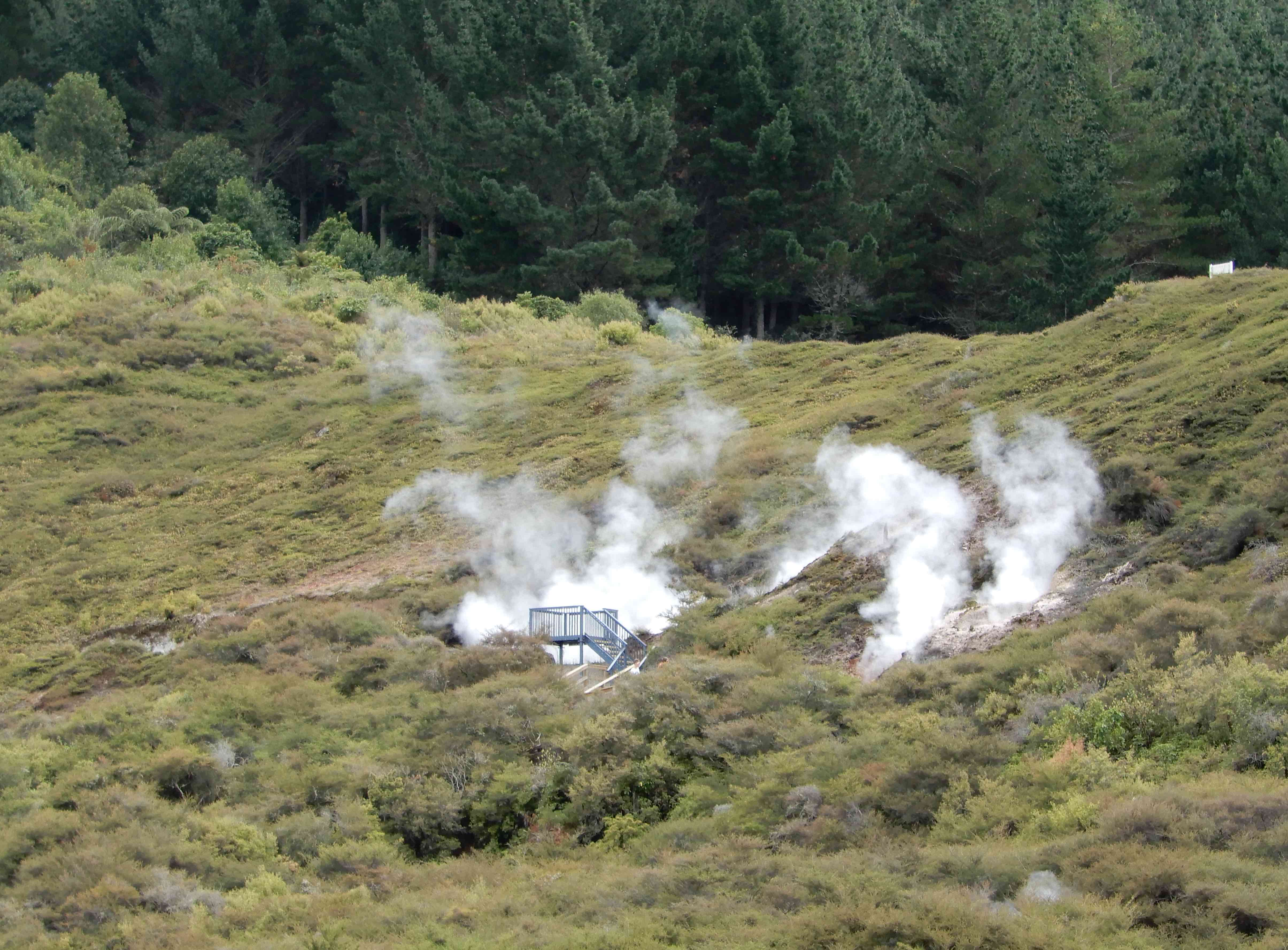
Wooden boardwalks have been constructed along the 2.4km walking trail to protect human feet from the heat of the soil and they are regularly moved as new vents emerge. Gravel tracks lead to viewing platforms for a closer look at the bubbling cauldrons.
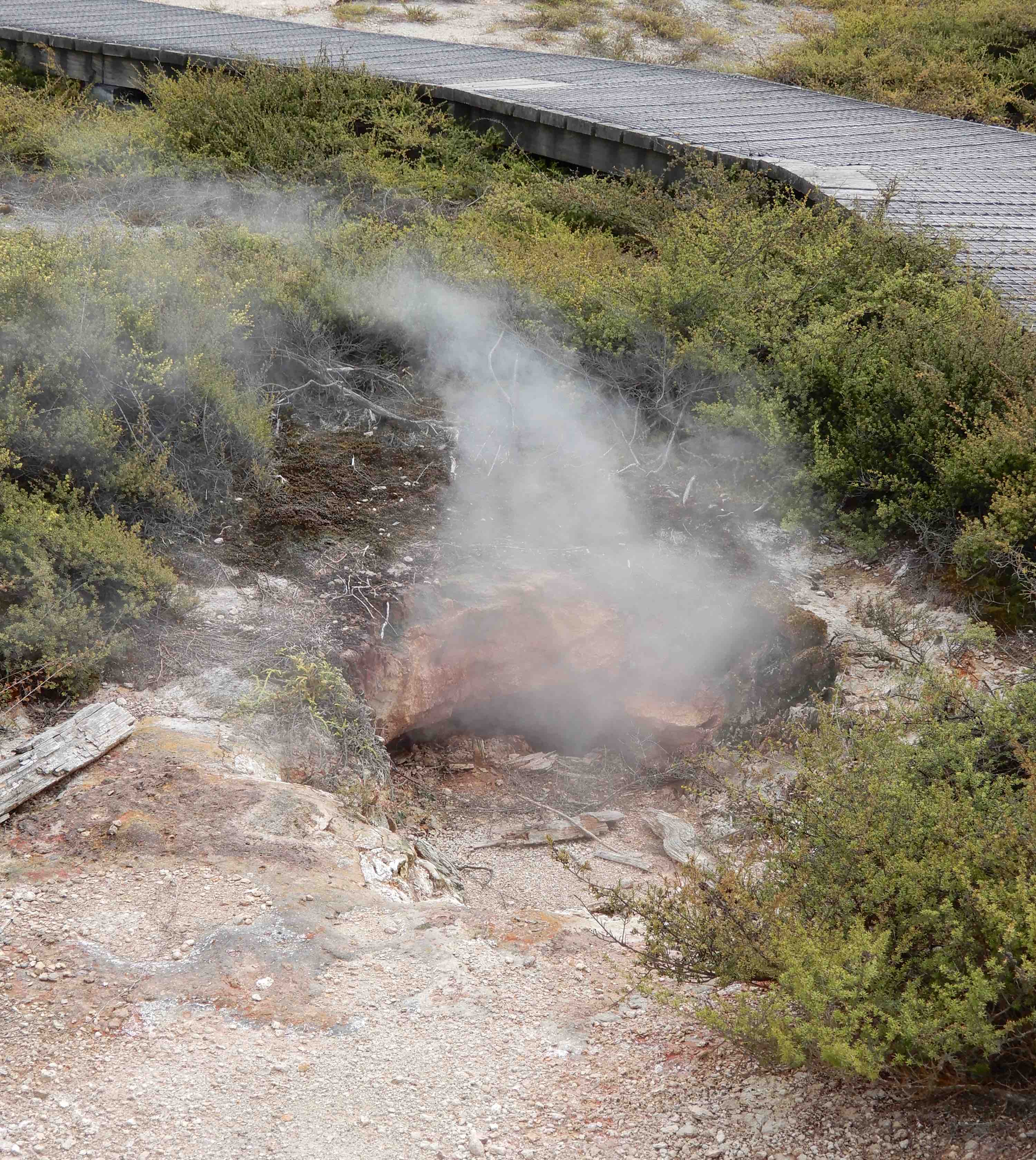
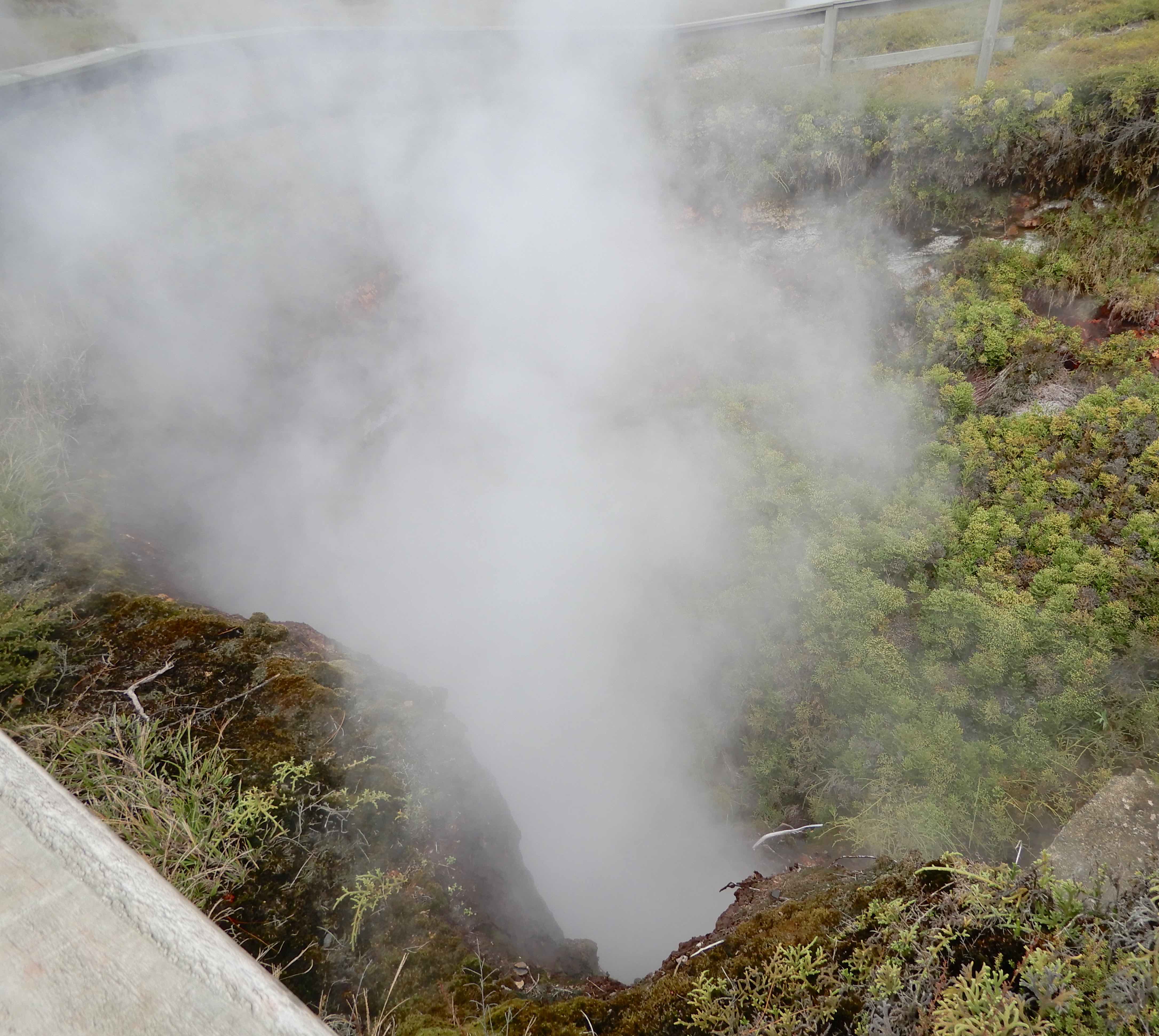
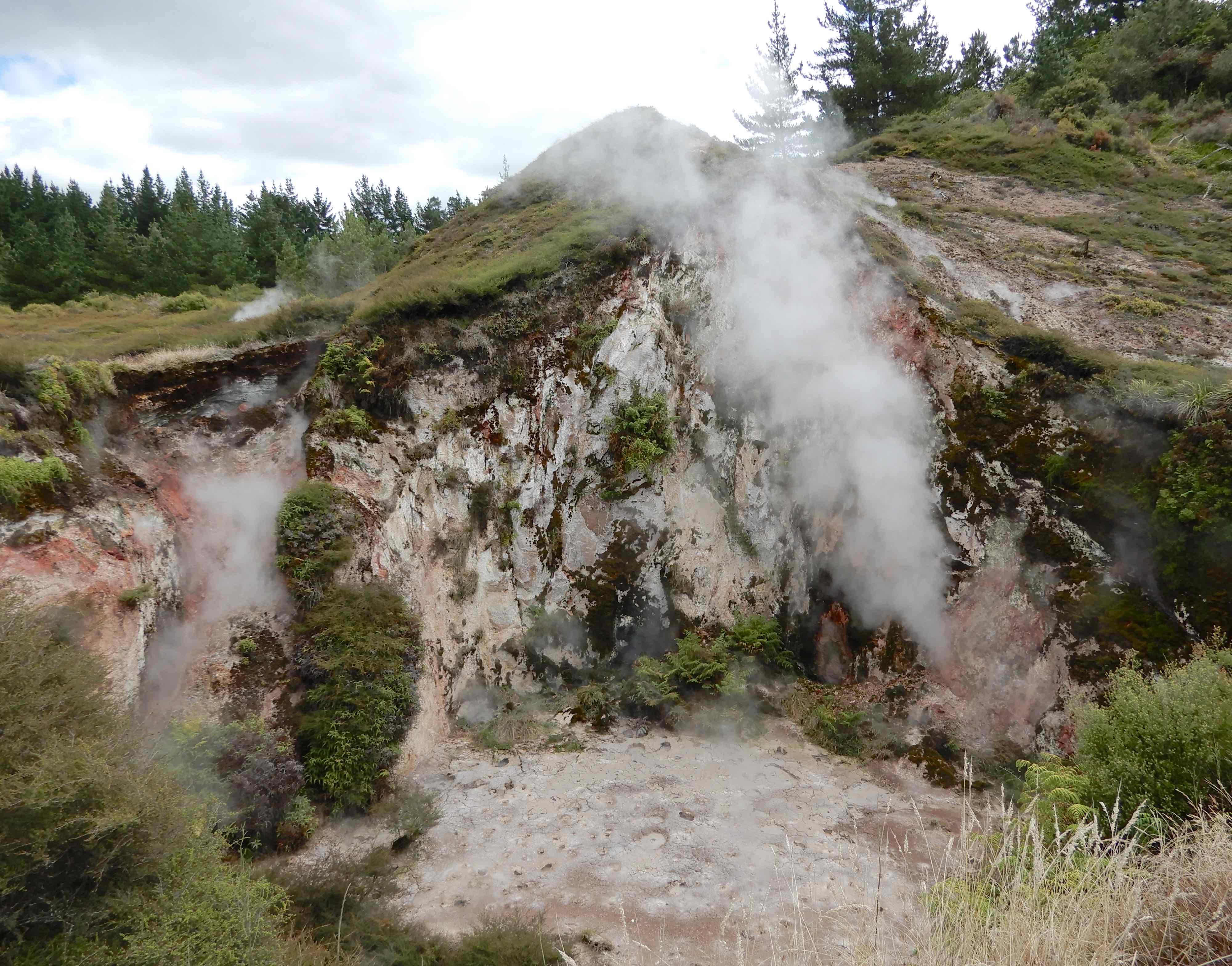
As I soon found out, it is important to be aware of the wind direction when taking photographs. Being enveloped in a cloud of sulphurous steam is neither good for camera nor operator. There is a wide variety of thermal features but three main ones. Fumaroles are openings through which steam and volcanic gases escape and can vary in size and intensity.
The pressurized steam makes whistling, hissing or roaring sounds depending on the size of the vent.
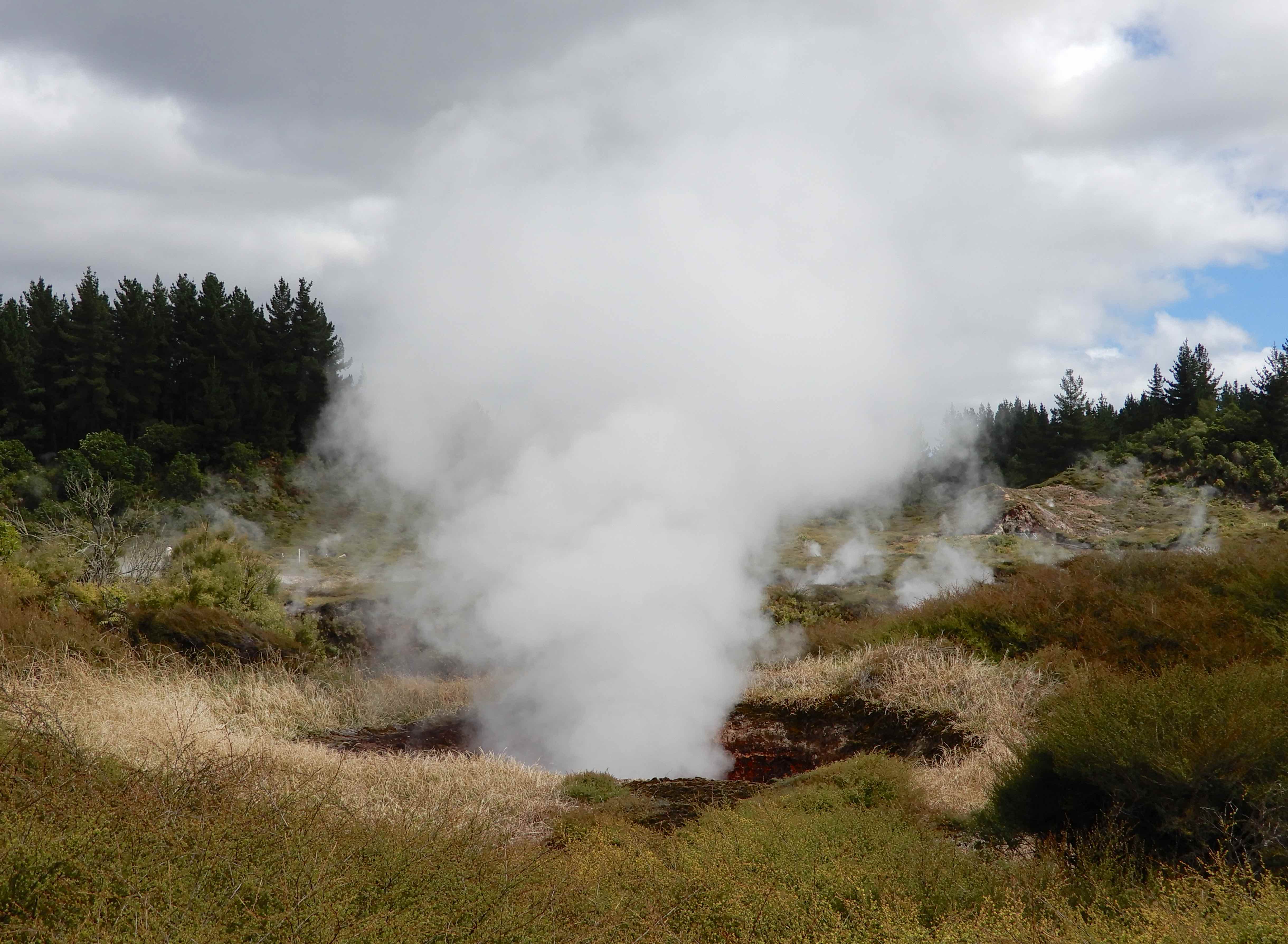
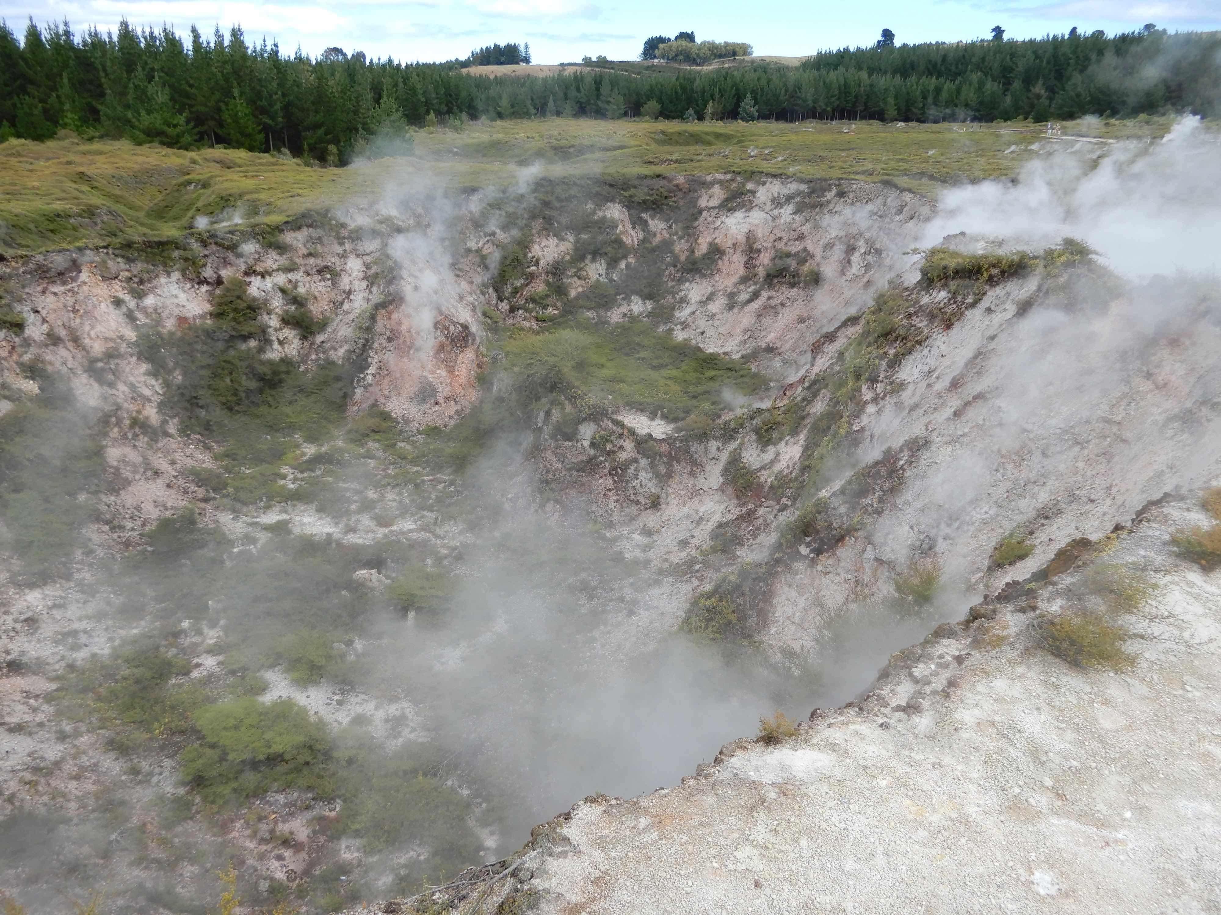
The craters are most impressive. They are formed when the pressure beneath the surface increases due to a blockage of a steam vent. The resulting eruption of hot water, steam, mud and pumice causes the surrounding soil to collapse, leaving a deep hole or crater.
The condensed steam and acidic gas chemically alter the pumice soil giving it the stunning orange and red colours.
It seems that mudpools are not technically pools of mud. The steam, containing hydrogen sulphide and carbon dioxide, reacts with the surface water to form sulphuric acid. This eats away at the surrounding rock and turns it into a soft clay that bubbles and belches as more steam and gas tries to escape.
I hadn’t expected so much vegetation on a lunar landscape, few species can survive the steamy ground. There is a plant endemic to New Zealand, prostrate kānuka, that only grows in geothermal areas and the hotter the ground temperature, the more prostrate the plant. Numerous ferns, mosses and lichens that would normally only grow in the tropics thrive in these conditions, adding colour to an otherwise barren place.
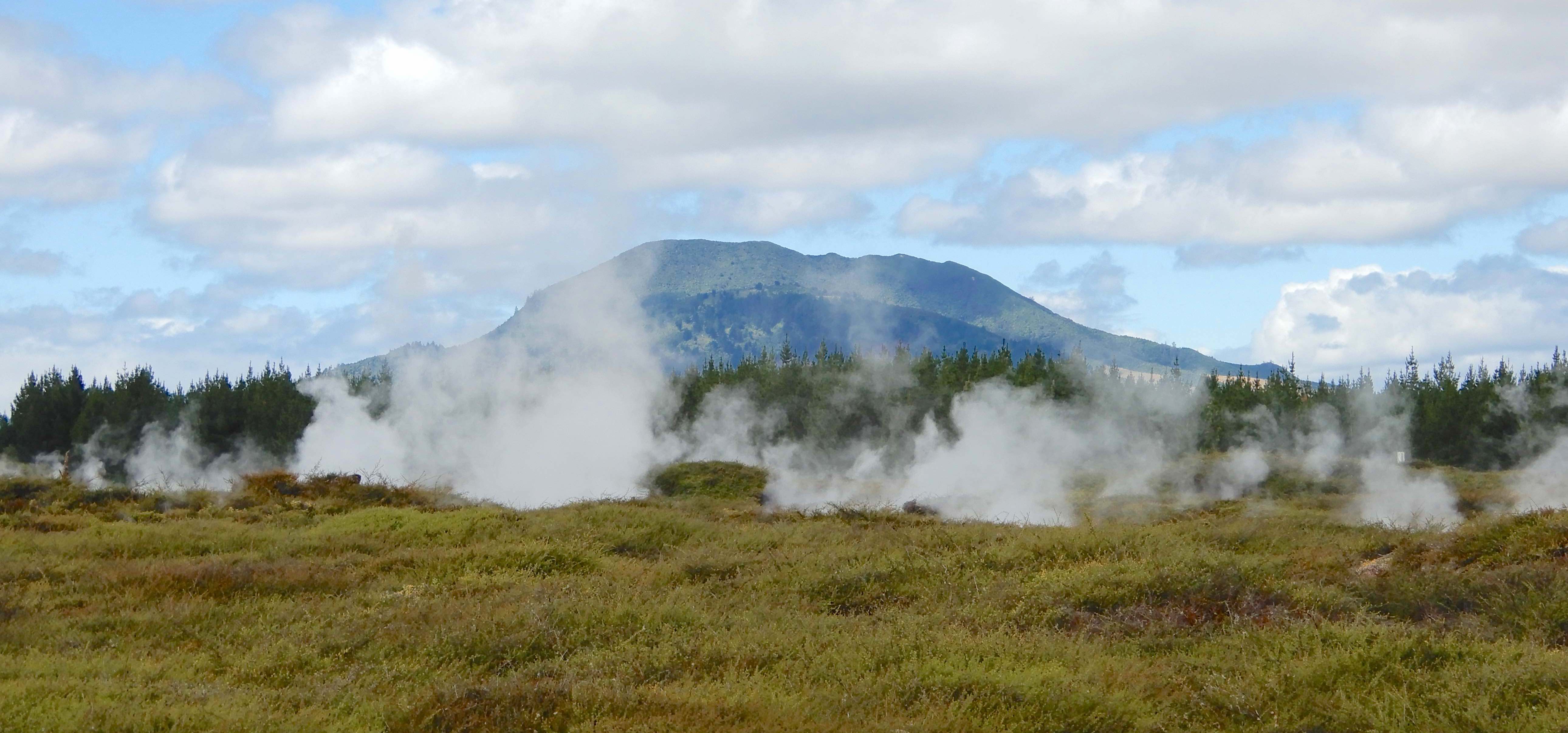
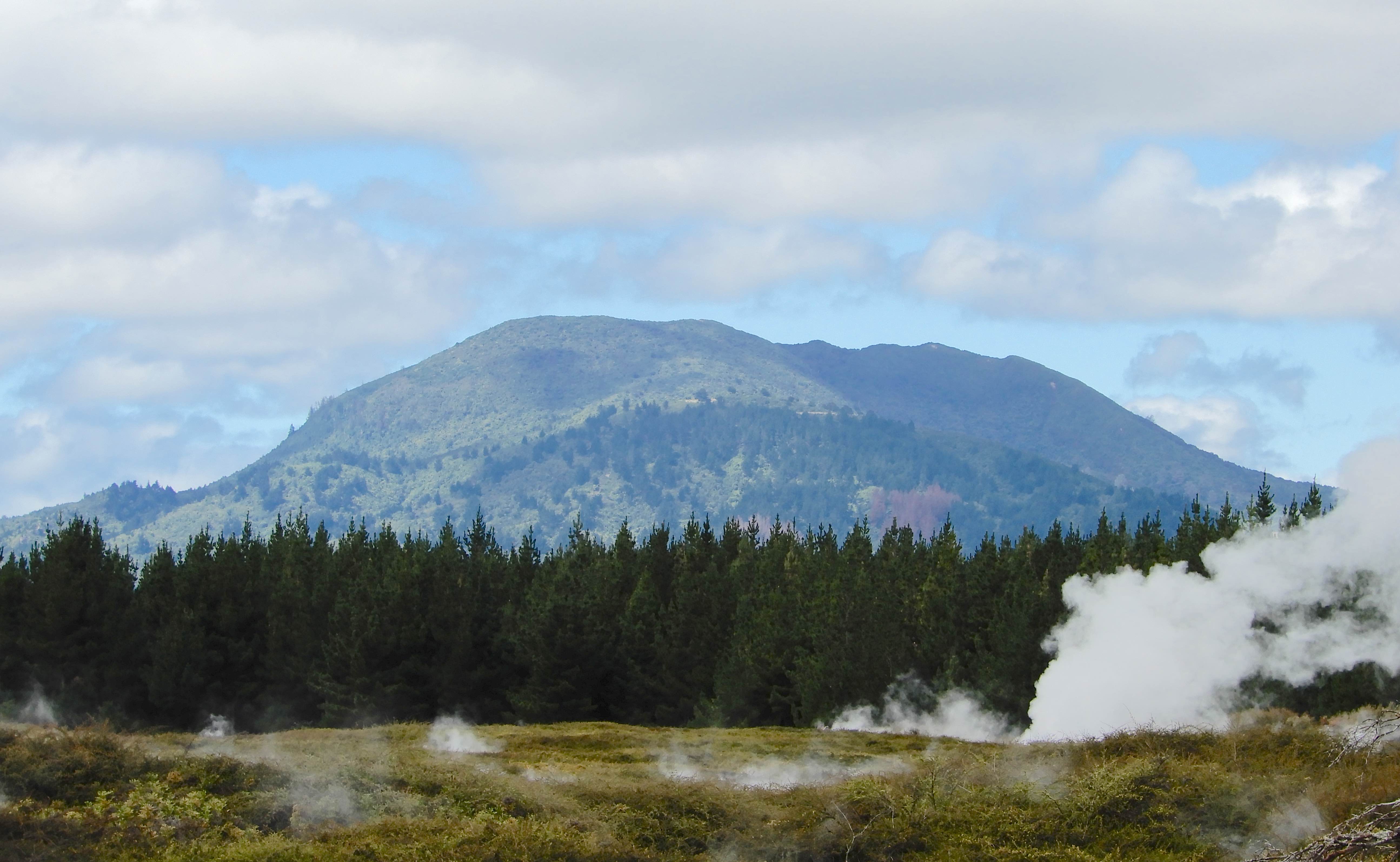
Toward the end of the walk, there is a fabulous view of Mount Tauhara, a dormant volcano overlooking Lake Taupo less than twenty kilometres away.
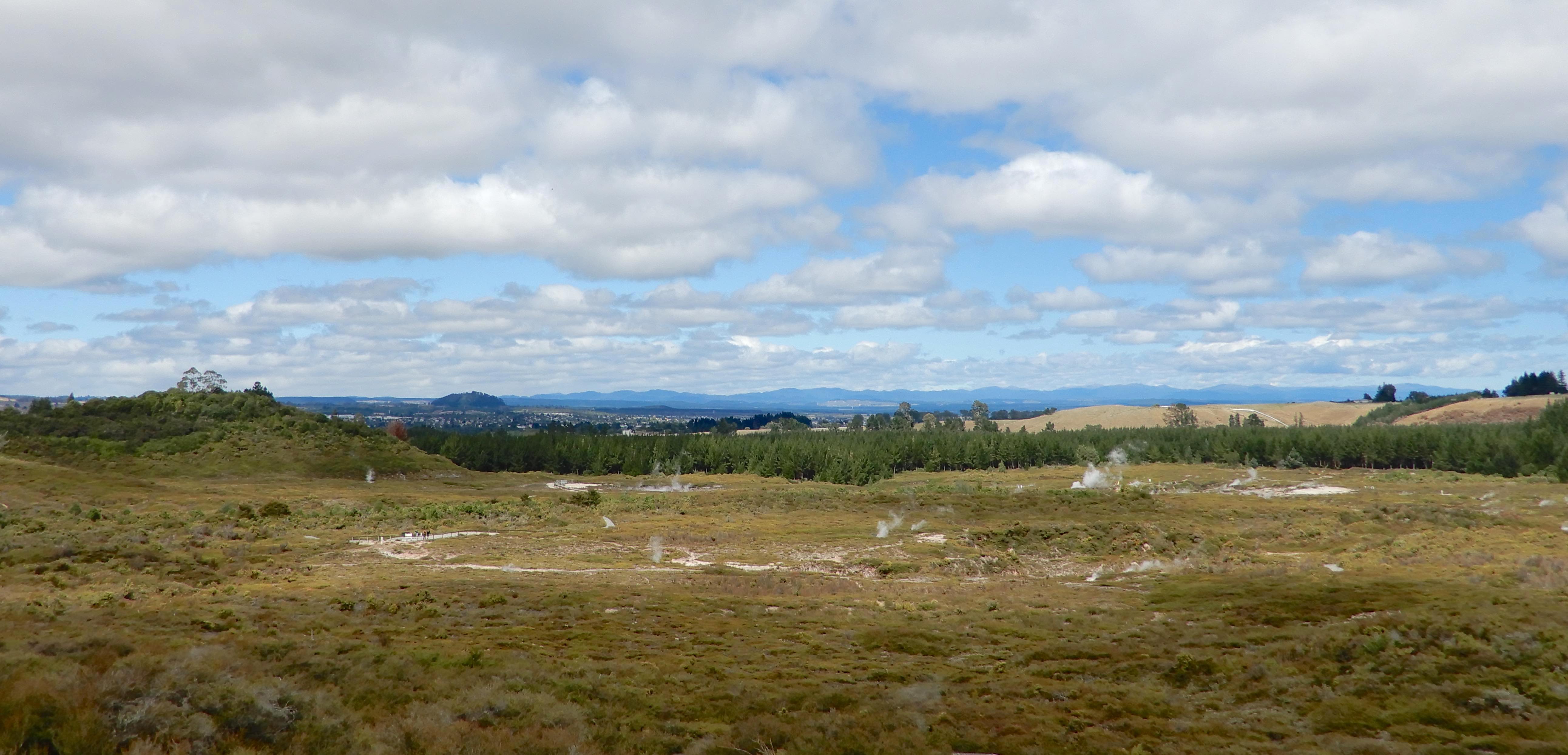
Soon after, a steep track to a lookout rewards with an impressive vista of the geothermal field.
Being so close to a restless earth was somewhat disconcerting, especially with the White Island disaster, only three months before, still fresh in our minds. Visitors are reassured that the thermal activity is monitored regularly by scientists from the Institute of Geological and Nuclear Science.
We fell in love with Cortona on our first trip to Italy in 2014 and, even though it was a two hour drive from Montepozzo, we just had to revisit. Yes, it is another Etruscan hilltown but from an elevation of 600 metres, the panorama across the Val di Chiana and Lake Trasimeno is breathtaking.
The alluvial valley covers 2,300 square kilometres and is home to the Chianina cattle, the largest breed in the world and one of the oldest. The beef is sold at premium prices by approved butchers and you will pay handsomely for Bistecca alla Fiorentina in any ristorante.
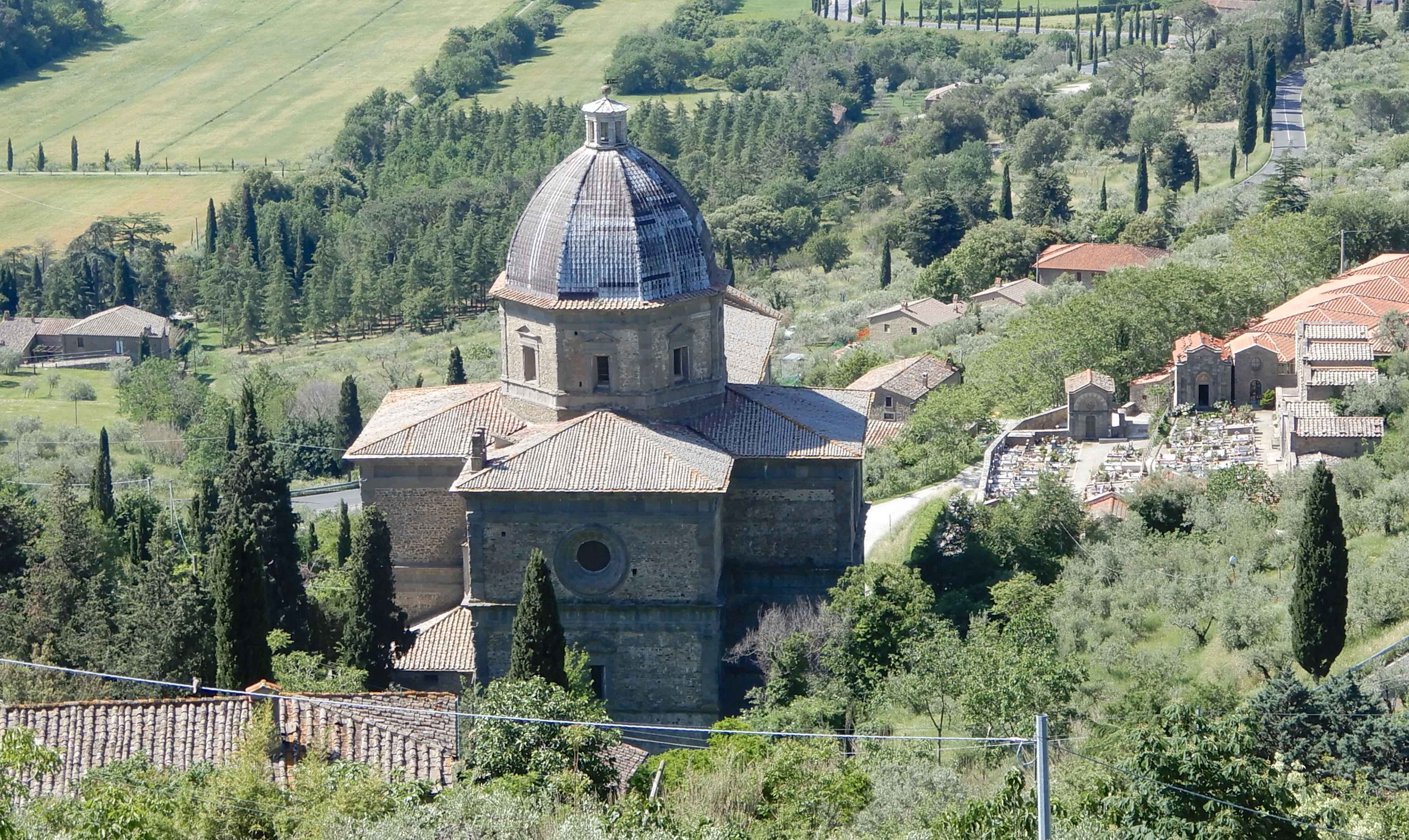
The Chiesa di Santa Maria delle Grazie was built on the site of a former tannery where, in 1484, an image of the Madonna and Child, painted on the wall of a basin used for tanning leather, began to perform miracles. Because of the steep terrain and presence of a stream, the building wasn’t completed until 1525 and the original icon is still visible on the high altar in the church.
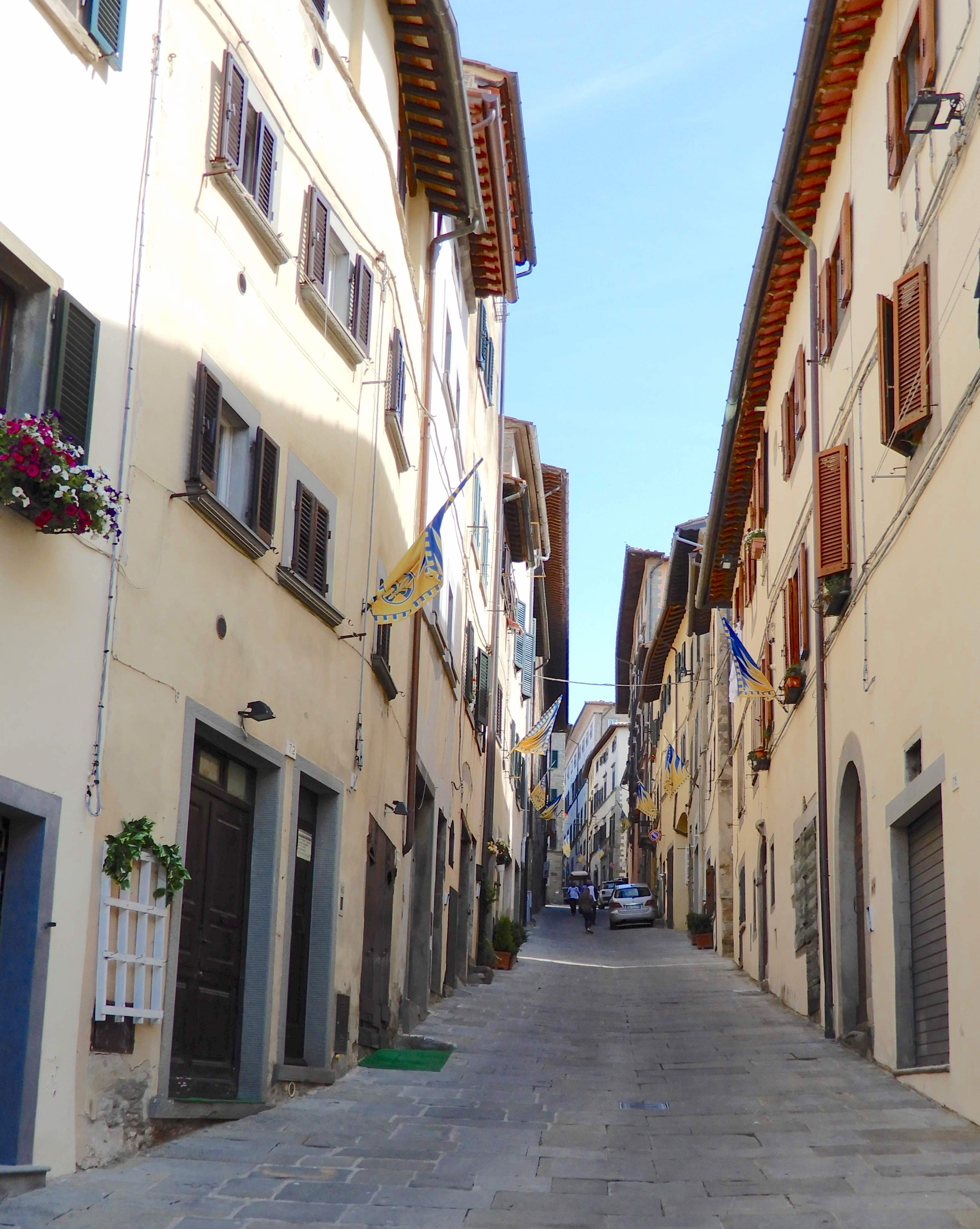
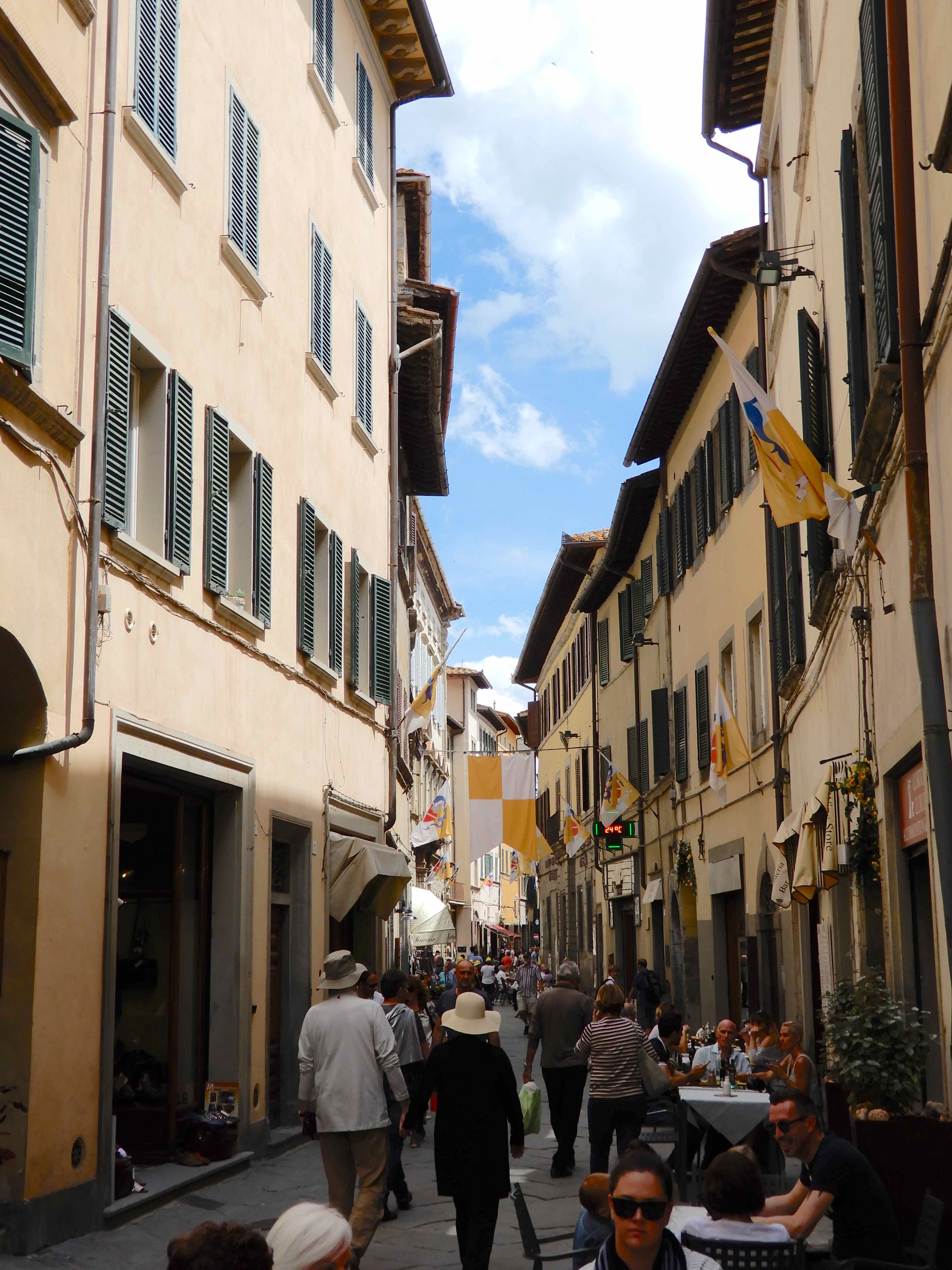
We made our way along narrow stone streets
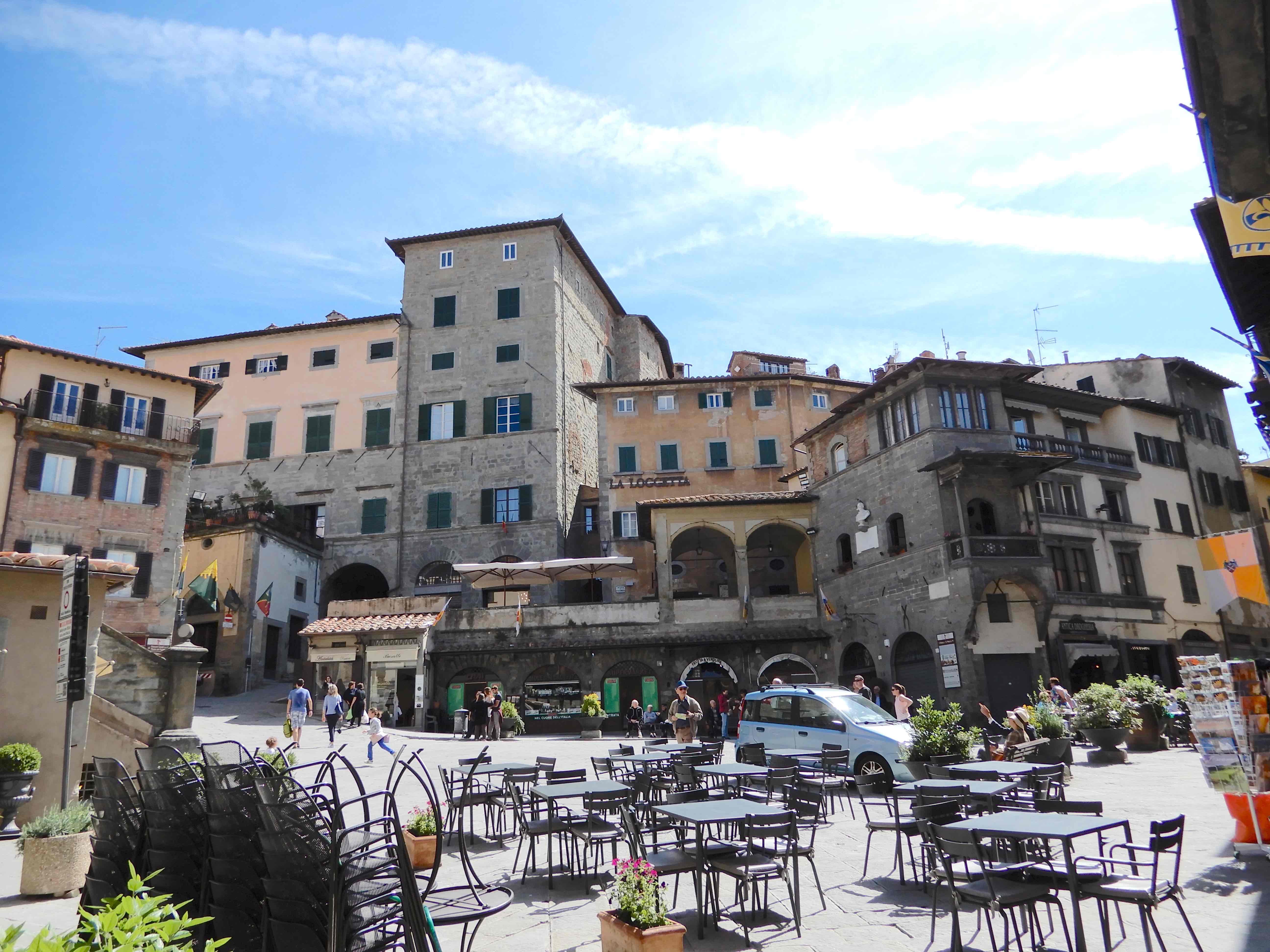
to Piazza della Repubblica, the centre of the city since Roman times. There was so much to take in around the piazza; gorgeous shops, medieval architecture and sunshine.
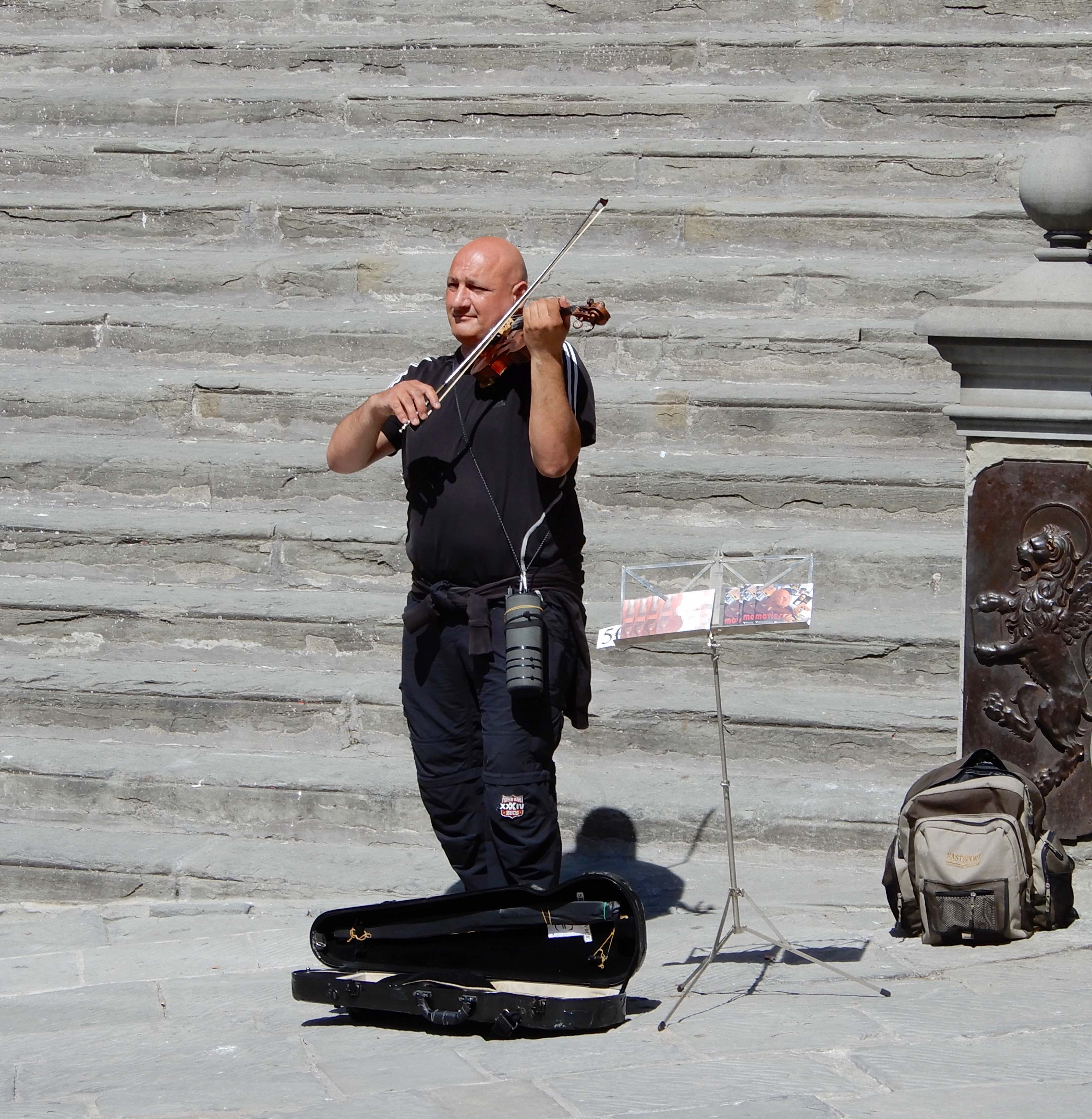
We enjoyed coffee & pastries while being serenaded from the steps of the Palazzo Comunale. The town hall was built in the 12th century on the ruins of the Forum of the Roman City and was extended in the 1500s.
Pietro Berrettini was a 17th century Italian Baroque painter and architect. Although he worked mainly in Rome and Florence, he was known by the name of his native town, Pietro da Cortona.
We wandered around Piazza Signorelli
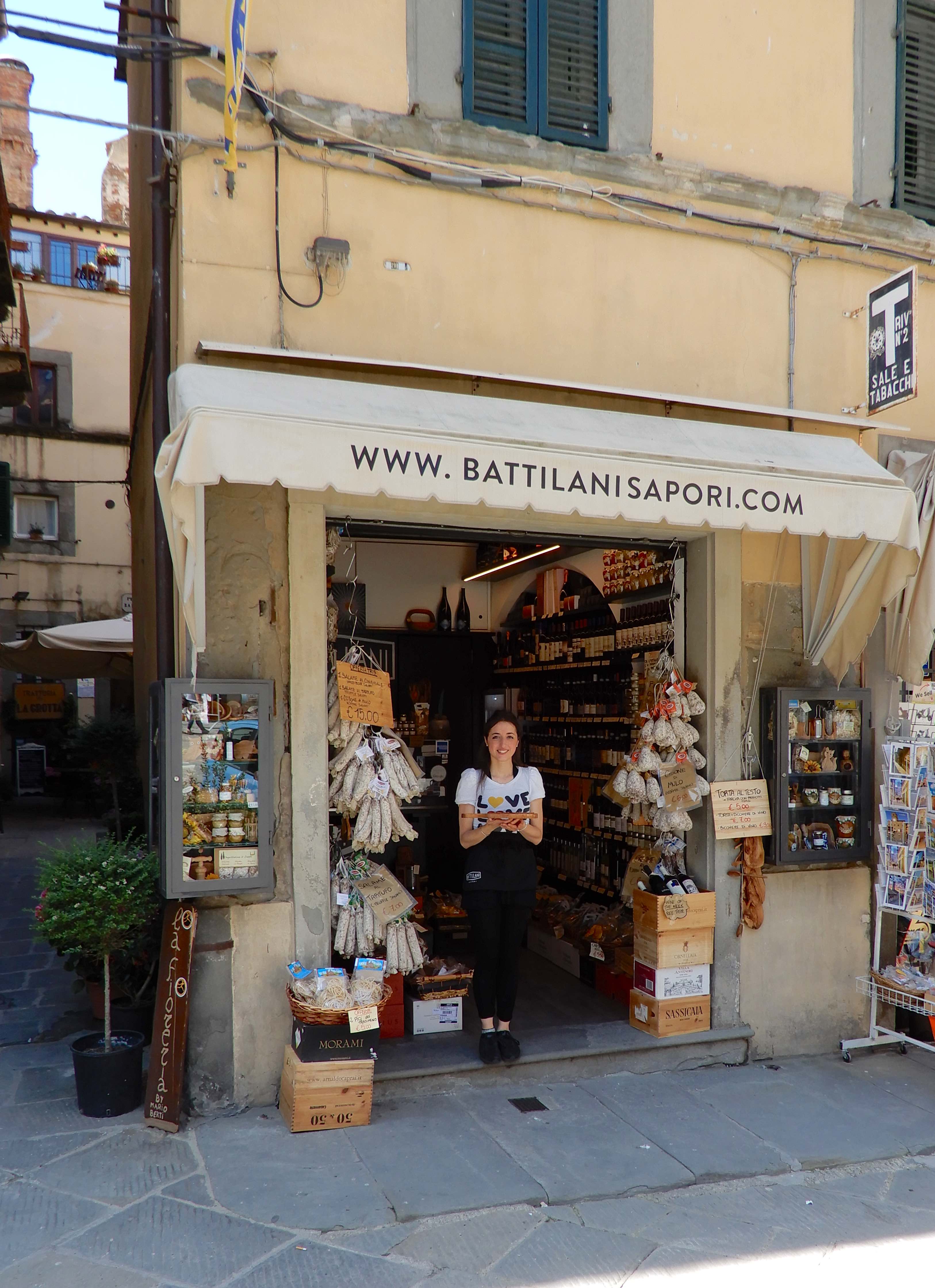
before exploring the shops along Via Nazionale
and celebrating our purchases with an Aperol Spritz in Piazza Garibaldi.
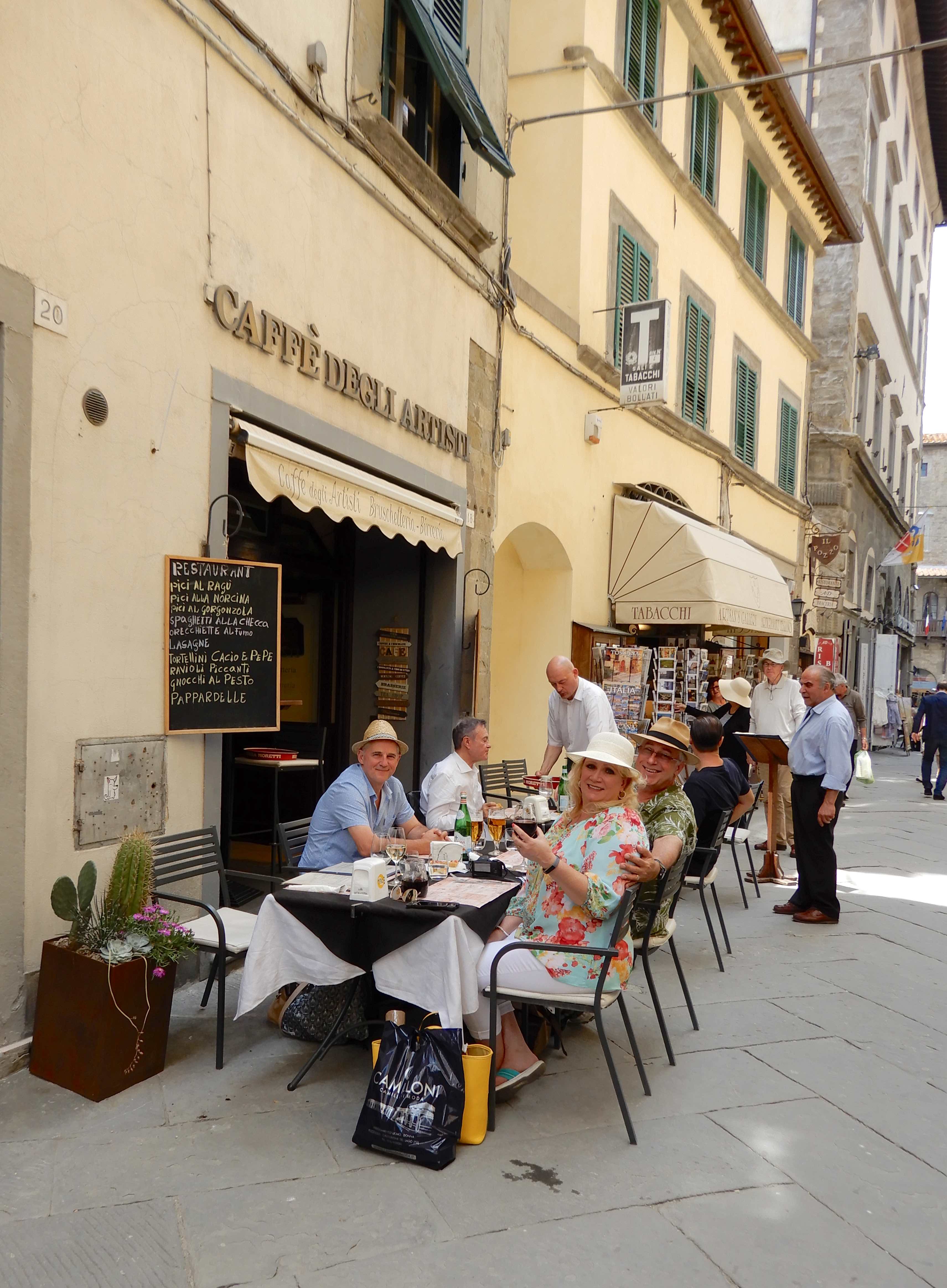
We retraced our steps to lunch at Caffè degli Artisti, seated in the street we savoured our surroundings as much as the food.
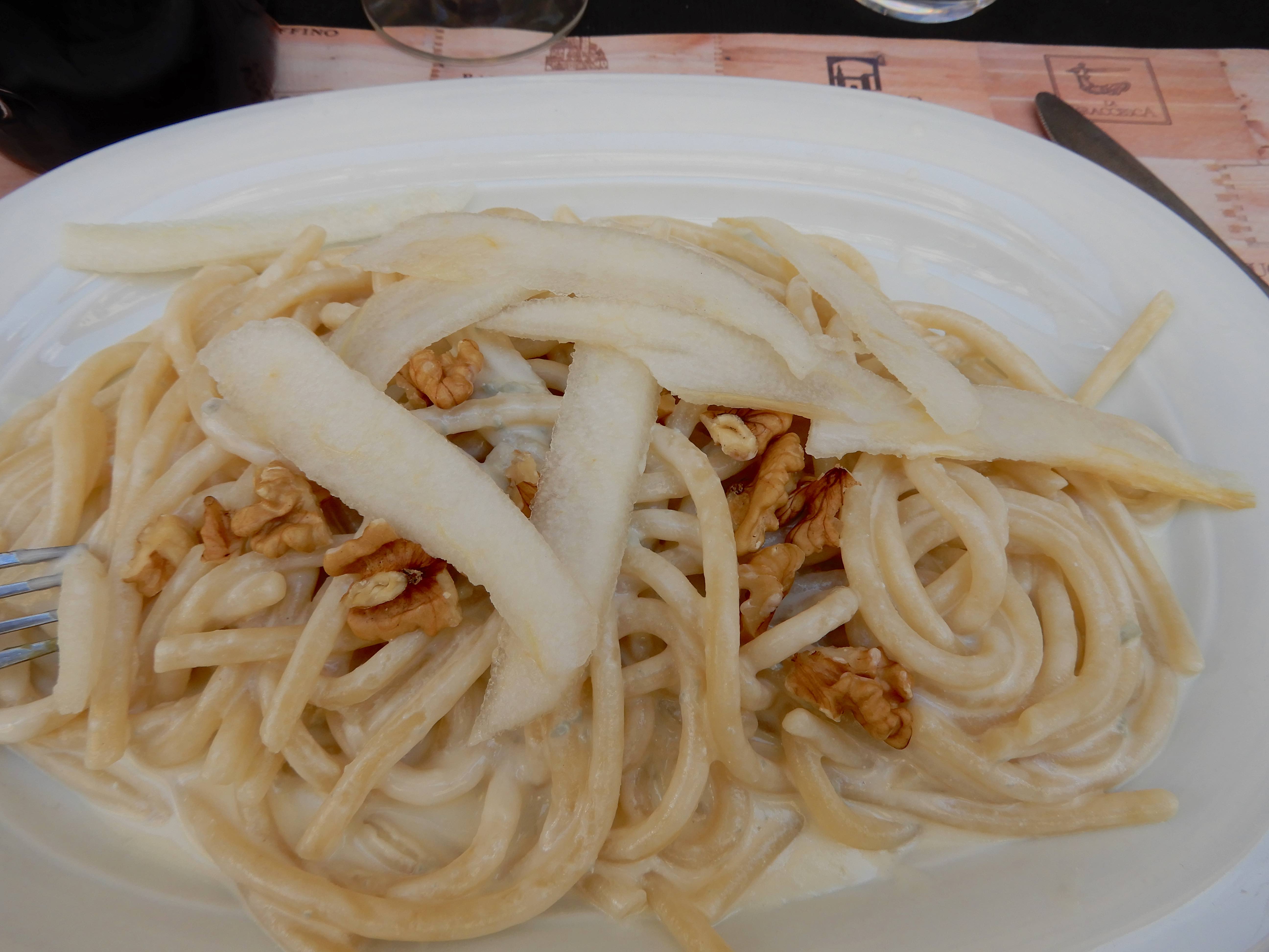
Starting with bruschetta, we decided on ravioli with butter & sage, pici with cream, porcini mushrooms, sausage & truffle sauce and pici with walnuts, gorgonzola cheese & pear.
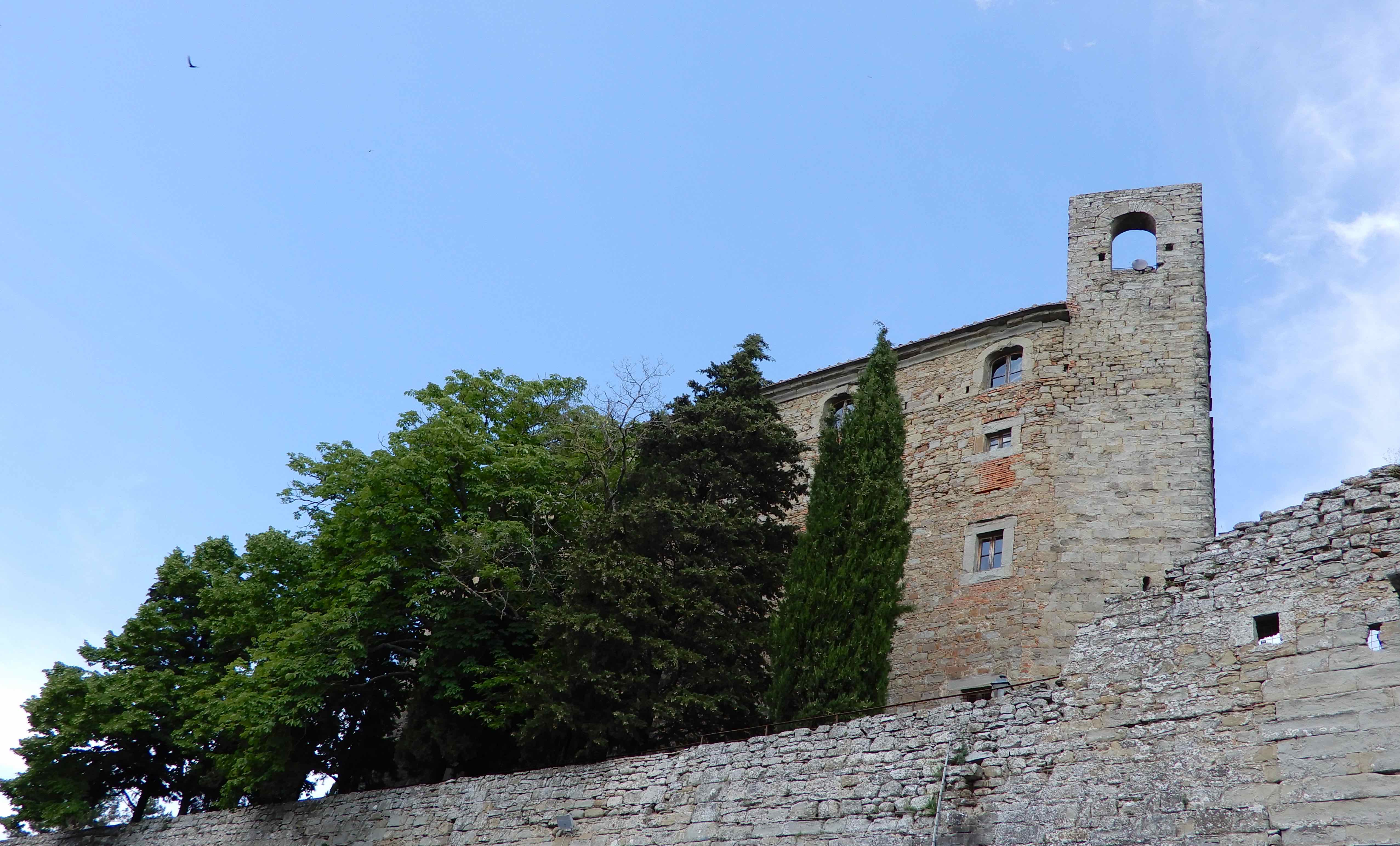
Reluctant to leave, we returned to the car and drove to the top of the town to see Fortezza del Girifalco and the fascinating Basilica di Santa Margherita but that is another story.
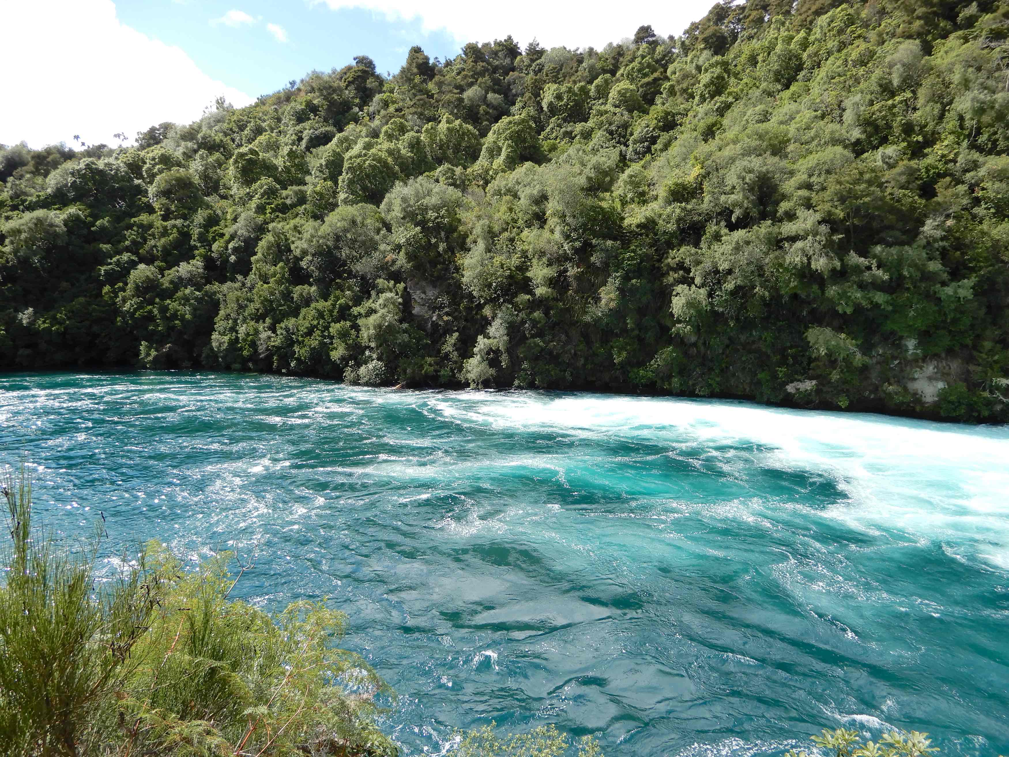
Our wonderful four days at Buckland B&B had come to an end and it was time to move on to new adventures. We had booked a house on Lake Taupo for the next three nights but there were amazing things to see on the way. Huka Falls may not be the highest we have seen but they are certainly spectacular.
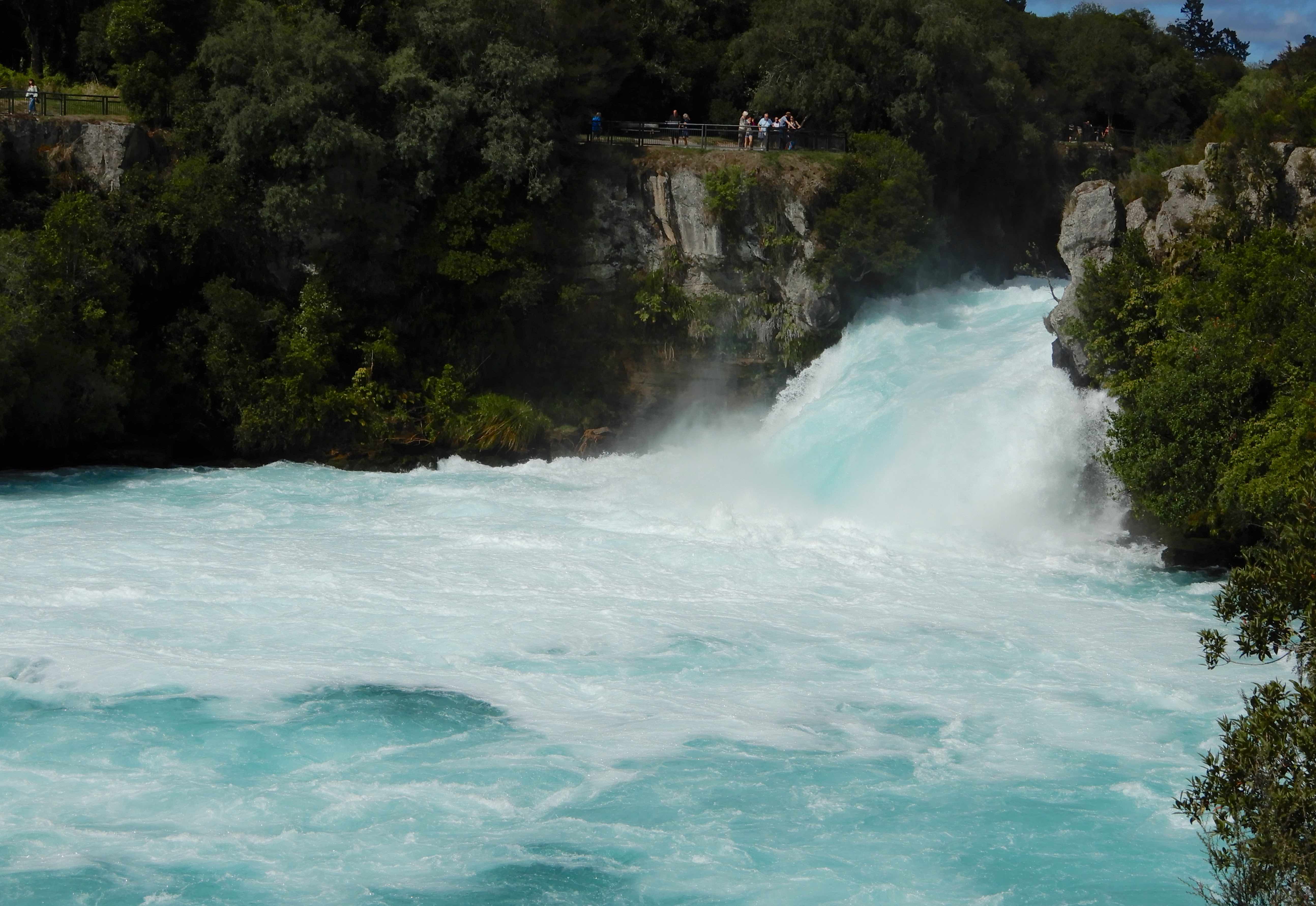
The largest falls on the Waikato River, the name Huka is the Māori word for ‘foam’ of which there is much generated by the falling water.
From the lower lookout, the power of the falls soon dissipates while the river continues its journey to the Tasman Sea.
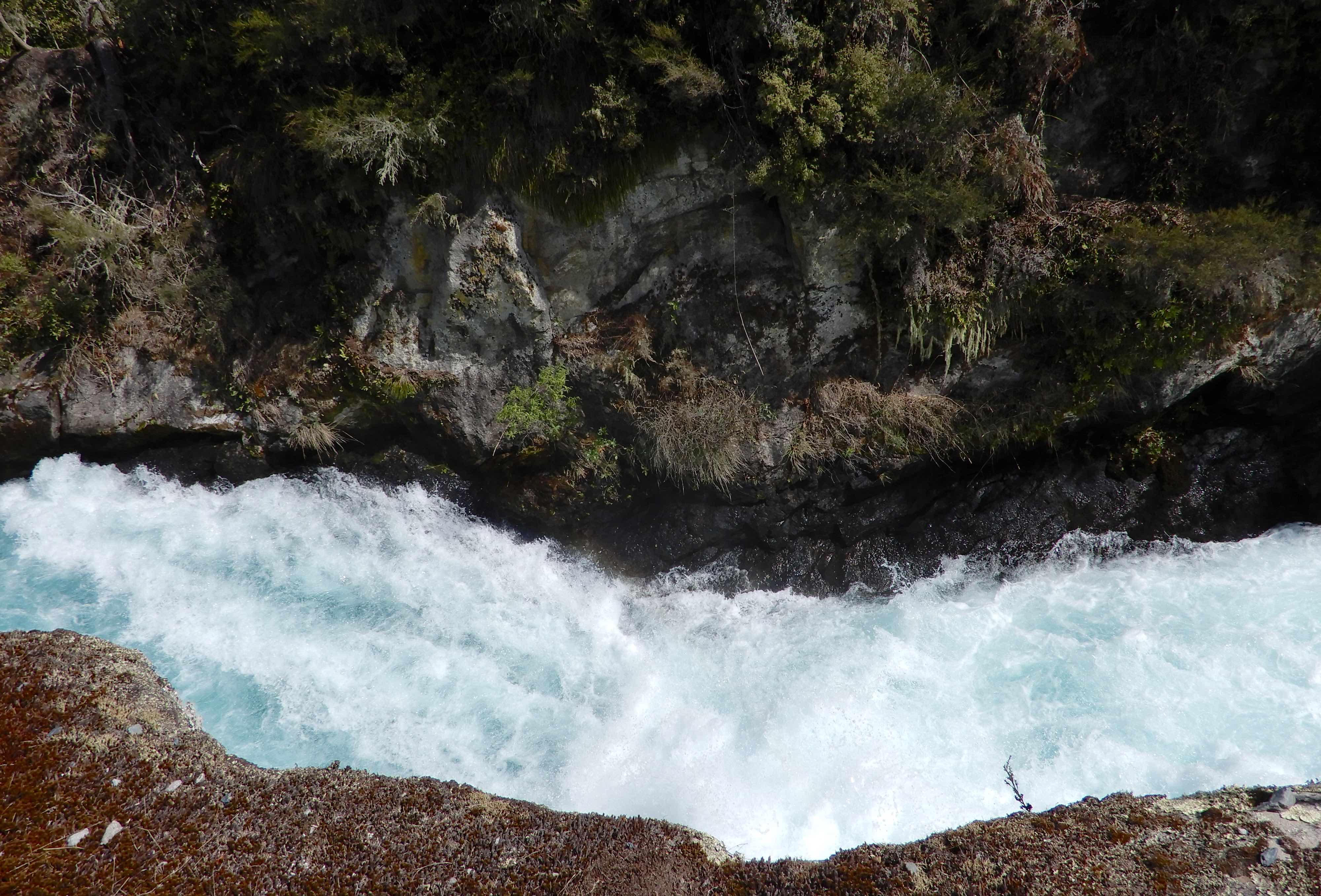
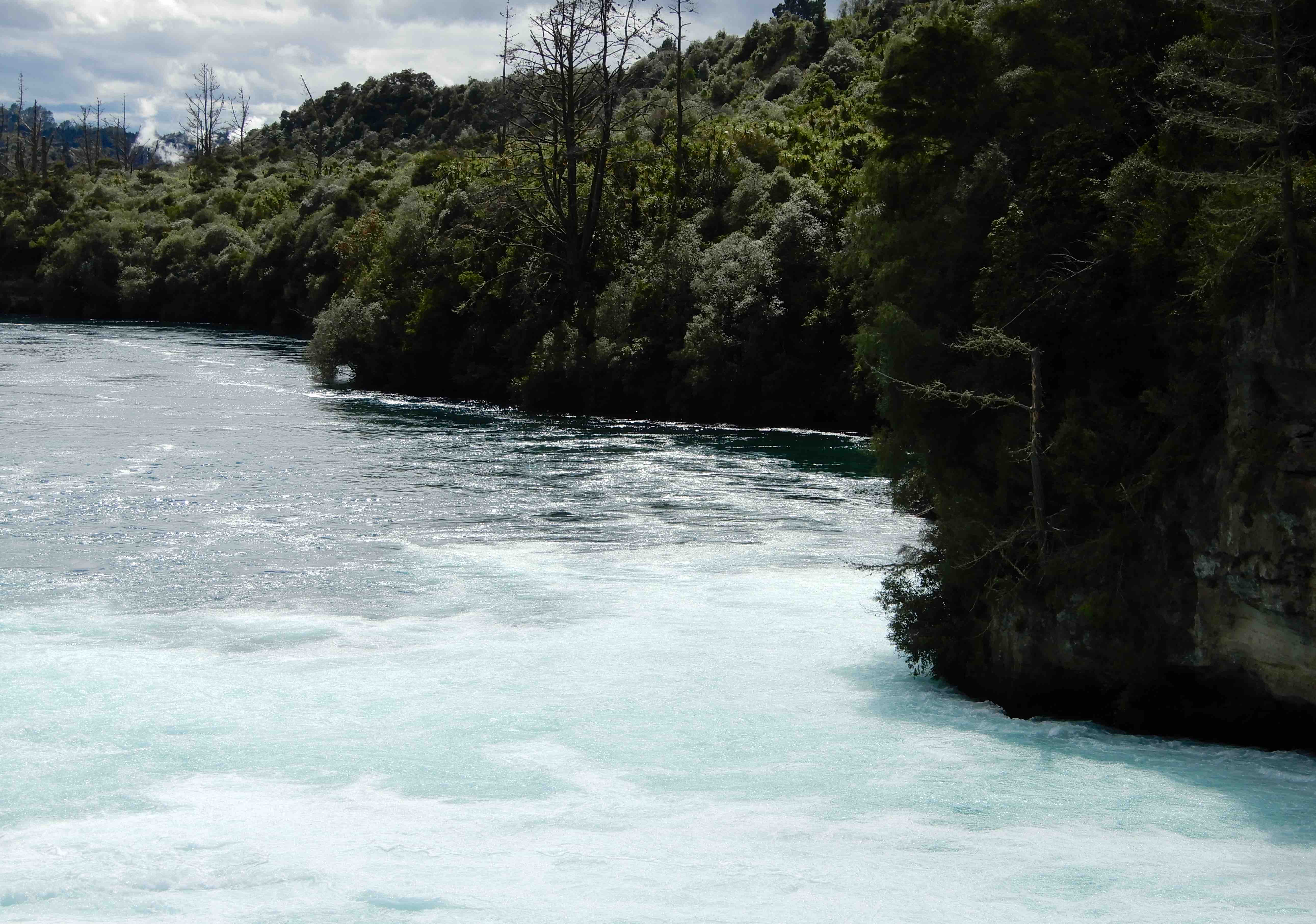
We wandered upstream to a footbridge crossing to the other side. New Zealand’s longest river at 425 kilometres, the Waikato is normally up to 100 metres wide. It narrows abruptly to just 15 metres as it crosses a hard volcanic ledge, a huge volume of water collides before rushing over the cliff face and under the bridge we were standing on.
At this point, the water is flowing around 220,000 litres per second, enough to fill an Olympic swimming pool in 11 seconds.
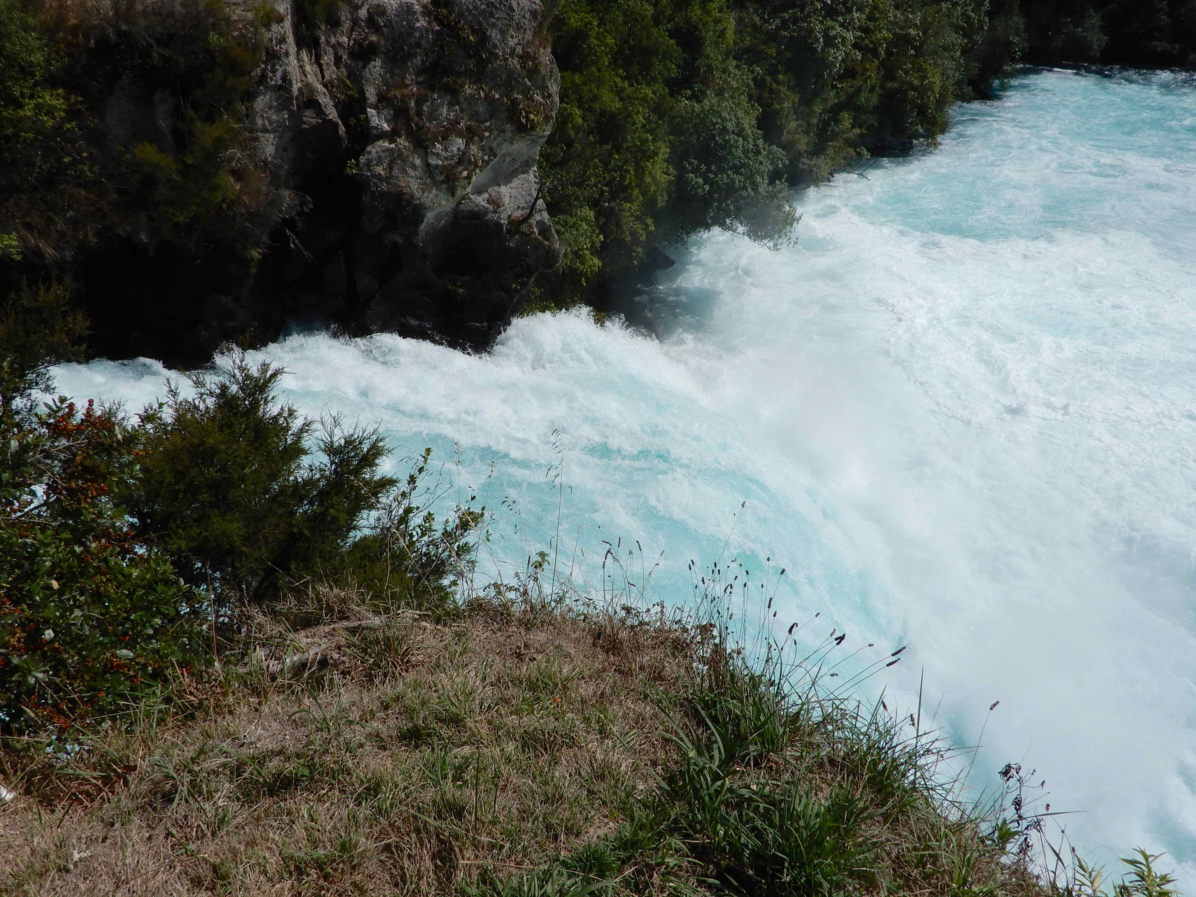
We followed the footpath to the top of the falls where the water bursts out of its rapids and over the 11 metre drop