Cape Naturaliste

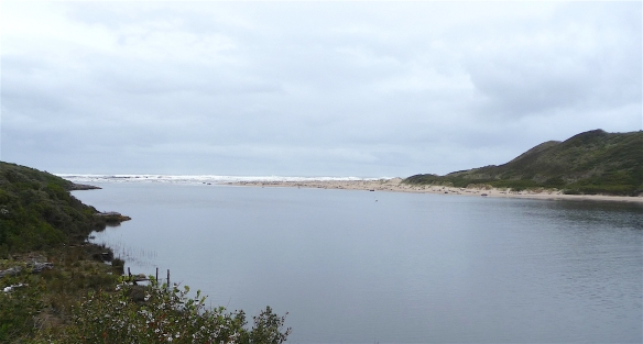
We continued our traversal of Geographe Bay to our destination, Cape Naturaliste lighthouse.

1.lighthouse

The tower was constructed in 1903 from local limestone and was activated the following year.

2.lighthouseOLYMPUS DIGITAL CAMERA

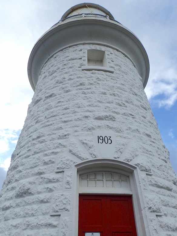
Unfortunately, we weren’t able to tour the lighthouse which is now fully automated, being the last lighthouse in Western Australia to lose its keeper in 1996.

4.lighthouse

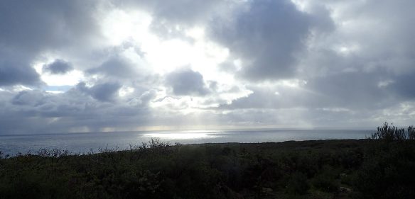
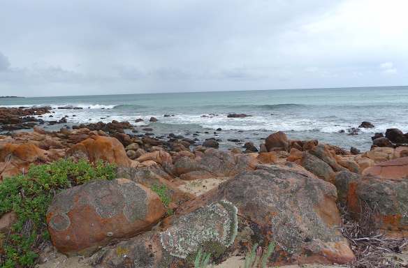
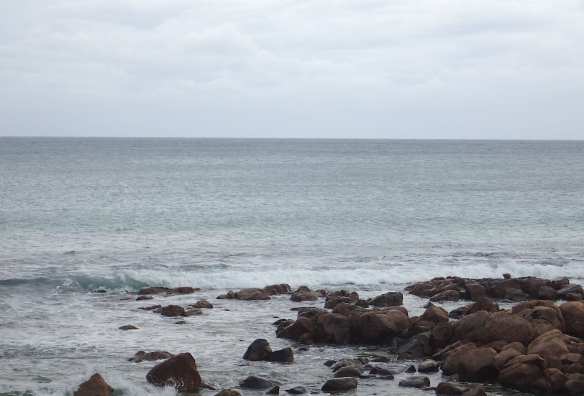
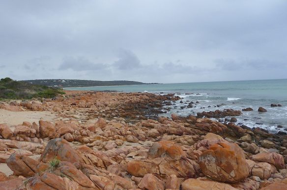
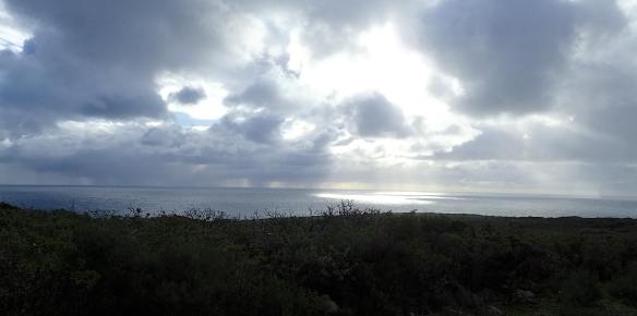
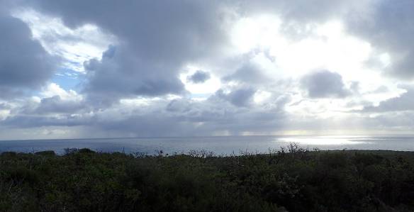
At the northernmost point in the Margaret River Region, positioned on a 100m high bluff, the views were spectacular.

5.stormclouds

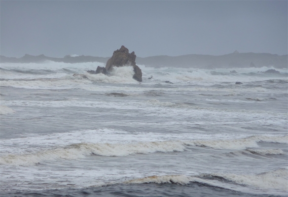
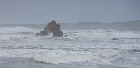
Stormclouds were gathering out to sea.

OLYMPUS DIGITAL CAMERA

It is little wonder the French navigator, Nicolas Baudin, named Geographe Bay after his flagship and the cape after his second ship, Naturaliste.

OLYMPUS DIGITAL CAMERA

The traditional owners of the land, the Wardandi, call it Kwirreejeenungup:

8.sign

“the place with the beautiful view”.

OLYMPUS DIGITAL CAMERA

Meelup

Our first morning at Dunsborough was overcast as we set off to discover the beautiful coastline of Geographe Bay. Nature has painted the rocks with her wondrous palette,

1-geographe-bay-meelupOLYMPUS DIGITAL CAMERA

a stunning contrast to the calm waters.

OLYMPUS DIGITAL CAMERAOLYMPUS DIGITAL CAMERA

Nestled in the next bay is Meelup Beach, a perfect swimming beach, sheltered from wind and waves with crystal clear water. Meelup means “Place of the Moon Rising” and is one of the few beaches in Western Australia where you can see the moon rising over the ocean.

5-geographe-bay-meelup

There is a phenomenon called “Staircase to the Moon” when, during summer, the silvery light of a full moon rising is reflected in the ripples of the water all the way to the horizon. I would love to witness that, it seems a return trip is in order.

Gordon

While travelling with my sister when she was here on holiday, we followed the Channel Highway south from Hobart. The day was overcast and calm and we felt a contented peace as we meandered through the drizzle. We pulled over at Gordon, not realising the Foreshore Reserve is usually a popular camping spot.

1-boatshed

The boatshed and ramp were deserted and, apart from a couple of brave souls, there was no-one in sight.

2-boat-ramp

The subdued beauty of the D’Entrecasteaux Channel and Bruny Island beyond was breathtaking.

3-gordon4-gordon5-gordon

The channel and island were named after Rear-Admiral Bruni D’Entrecasteaux who discovered them in 1792 while searching for missing fellow explorer, Jean François La Pérouse (he was never found).

6-gordon

We were mesmerised by the ethereal silence that cocooned us

and reluctantly, we continued on our journey.

11-serenity

the wild west

The small settlement of Arthur River on Tasmania’s west coast is home to less than 50 permanent residents.

1.looking back

Named after the only Tasmanian river that is completely wild – never logged, never dammed – the mouth of which empties into the mighty Southern Ocean.

2.river meets ocean

The winds of the Roaring Forties combine with fierce ocean currents and travel from  Argentina, 15,000km away, across the longest uninterrupted expanse of ocean in the world. I tried to capture the power of the waves breaking over this solitary rock. I didn’t succeed.

3.rock14.rock25.rock3

The washing machine effect of the waves, combined with the river flow, carry five hundred year old forest giants of Tasmanian Oak, Blackwood, Myrtle and Sassafras and heave them ashore as if they were twigs.

6.flotsam17.flotsam2

Just south of Arthur River is Gardiner Point…..The Edge of the World….

8.the edge

Written by Brian Inder, a Tasmanian tourism pioneer, he describes exactly how it feels to stand on the rugged coastline with nothing but ocean beyond.

9.shoreline110.shoreline211.shoreline3