Old Telegraph Hill

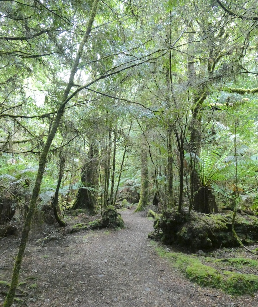
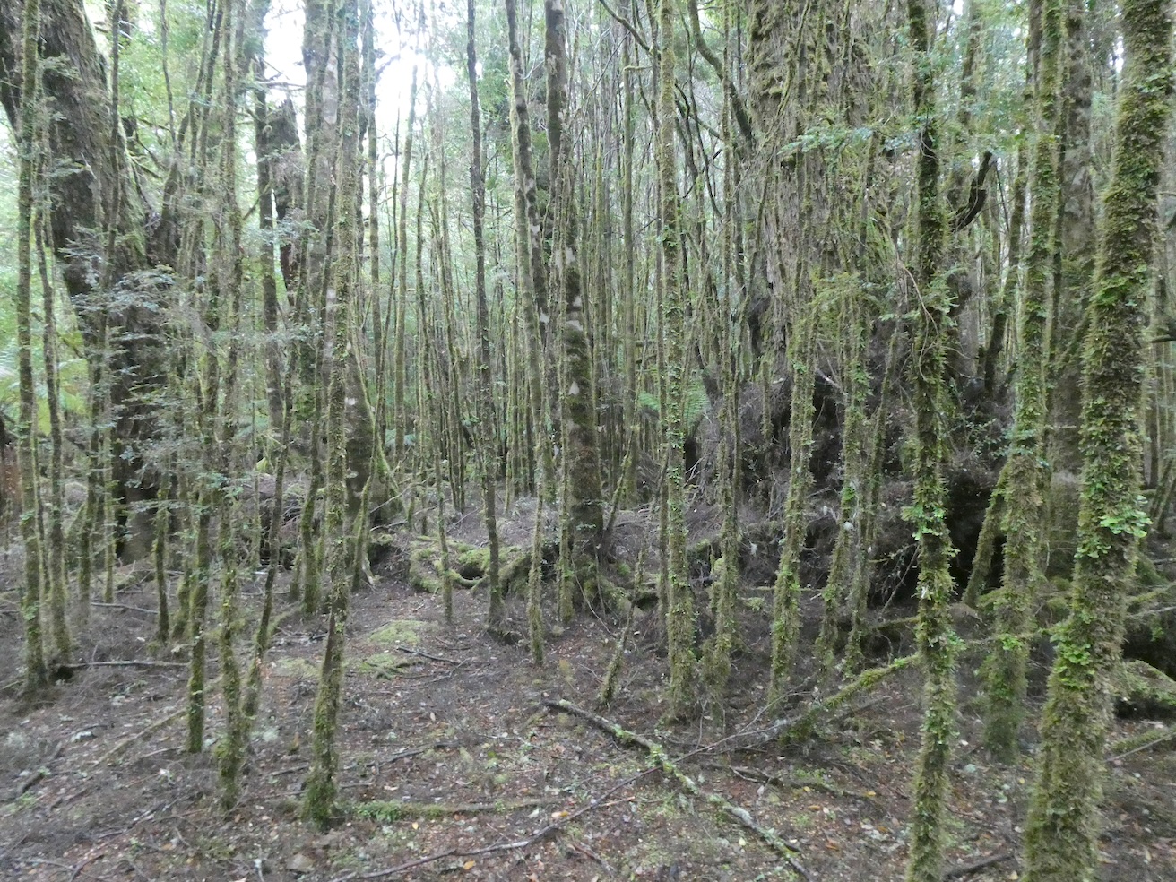
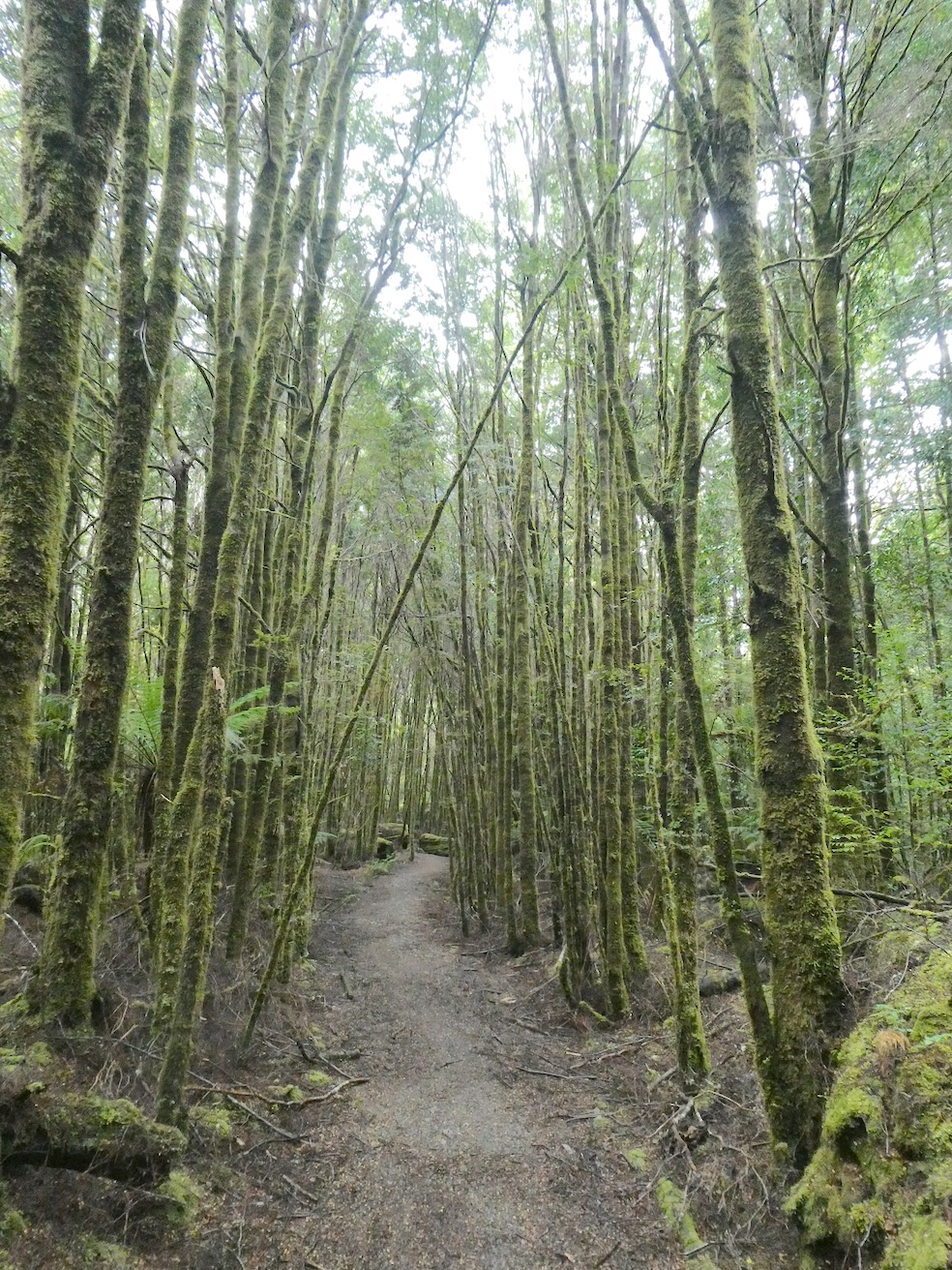
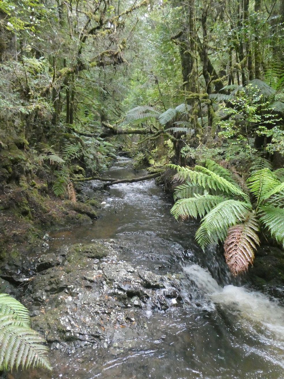
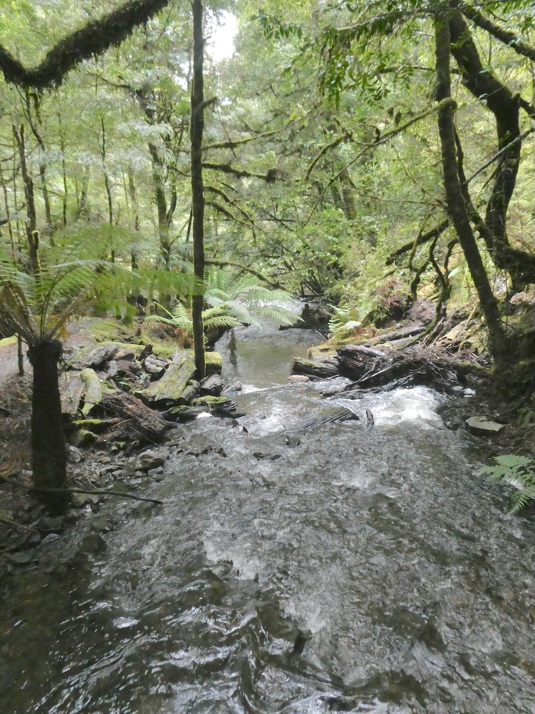
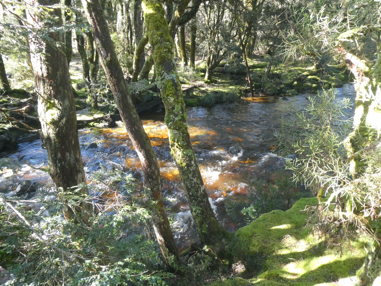
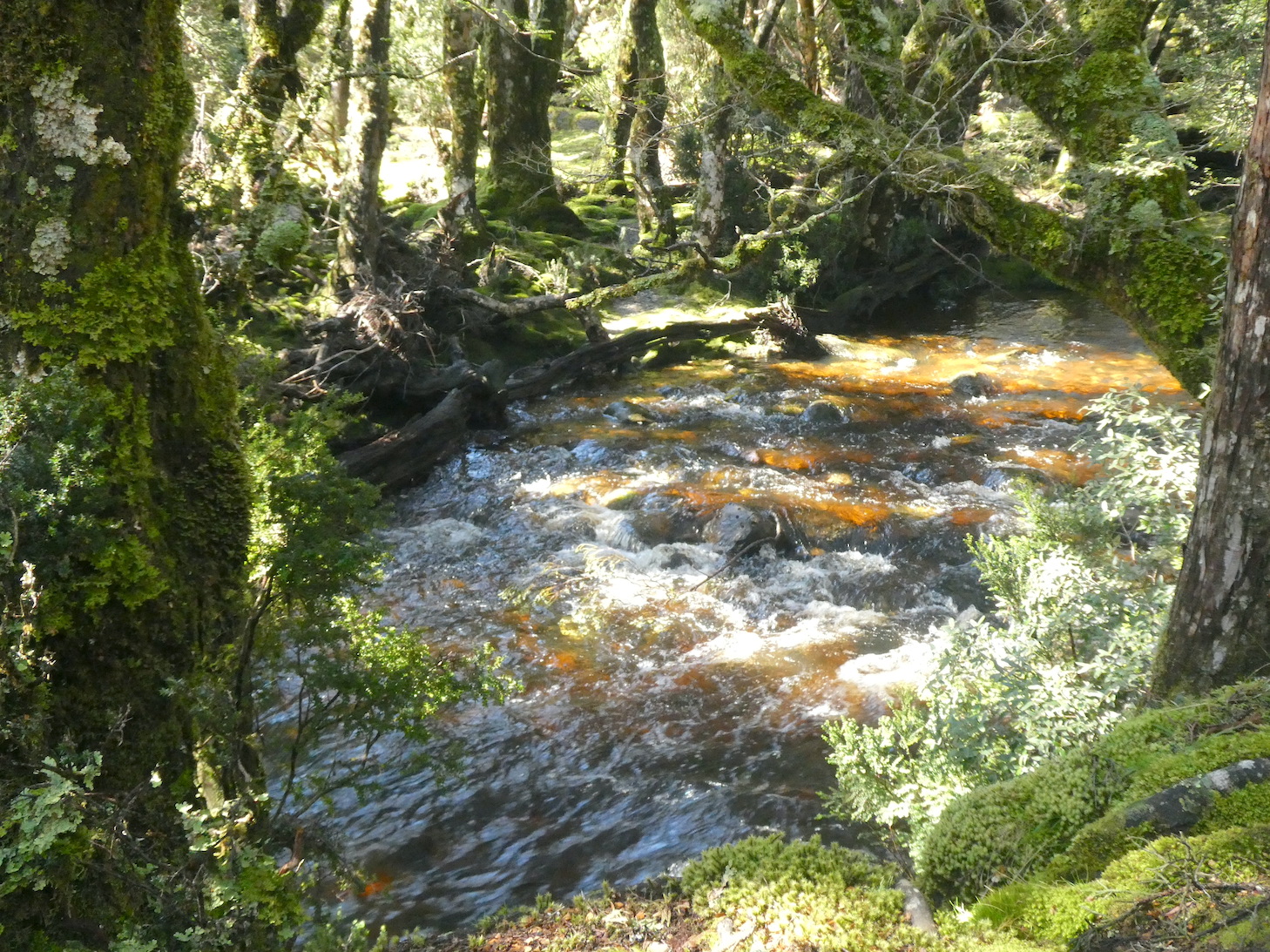
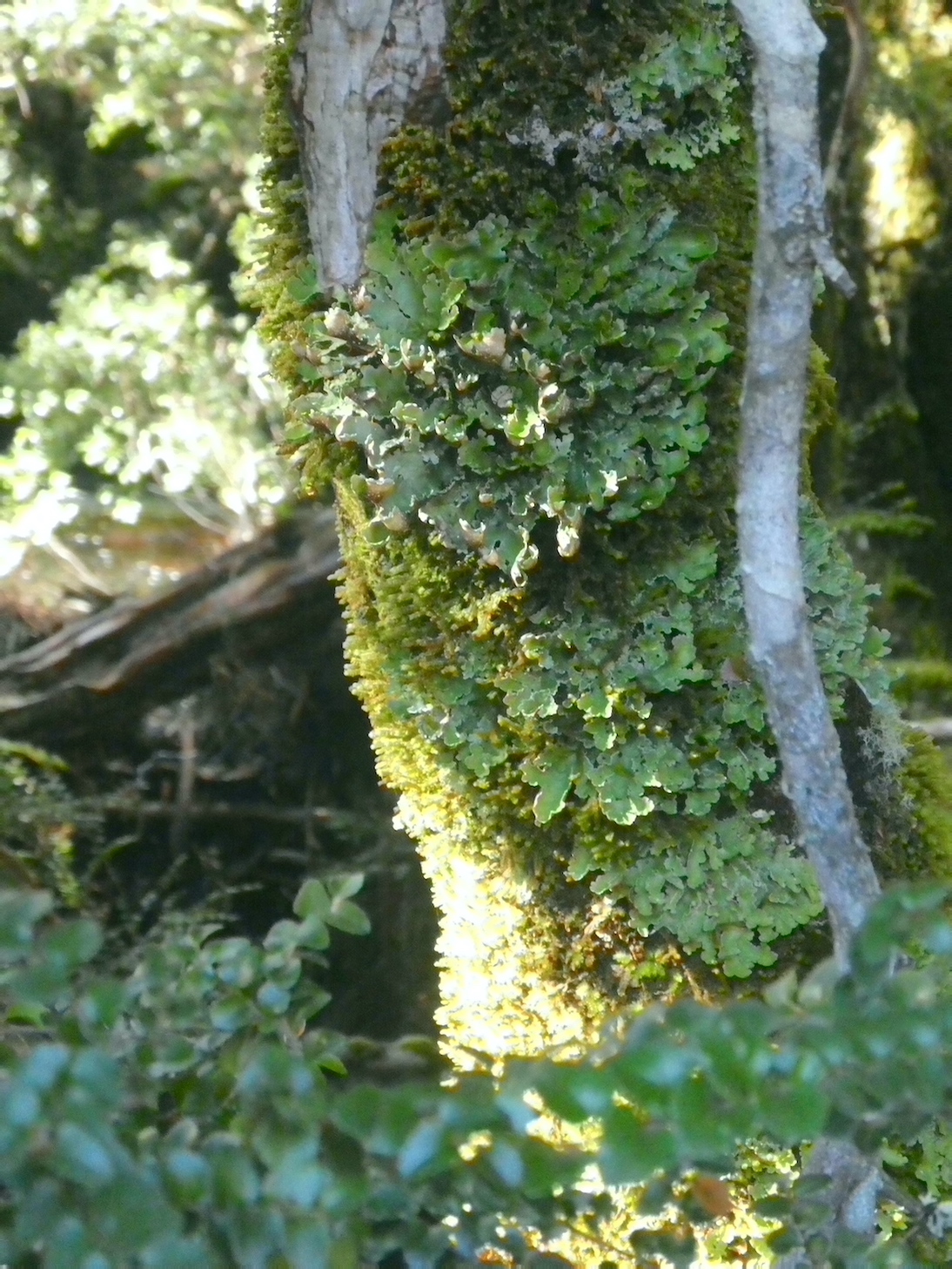
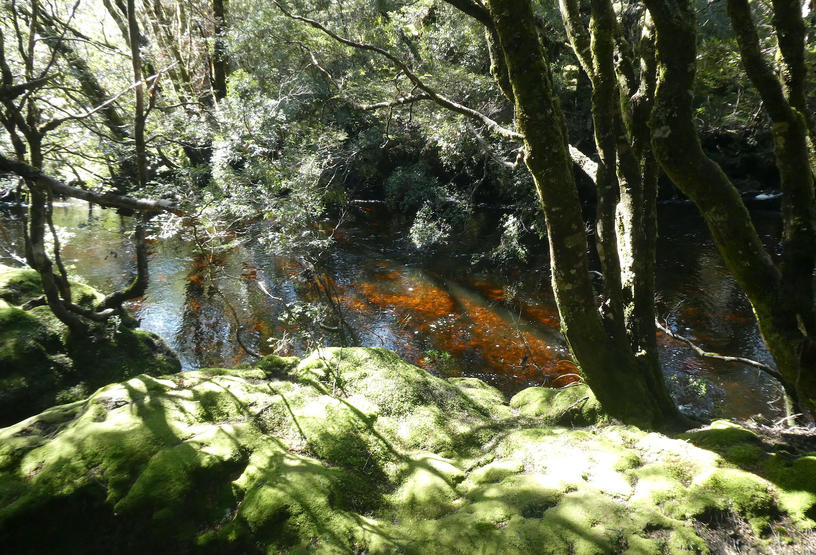
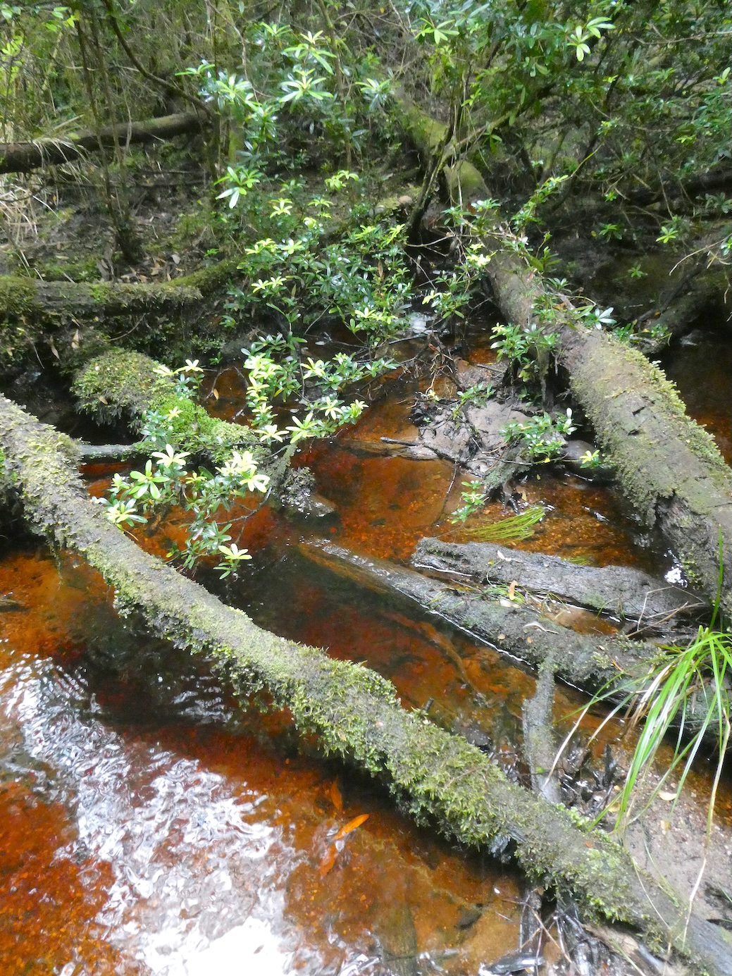
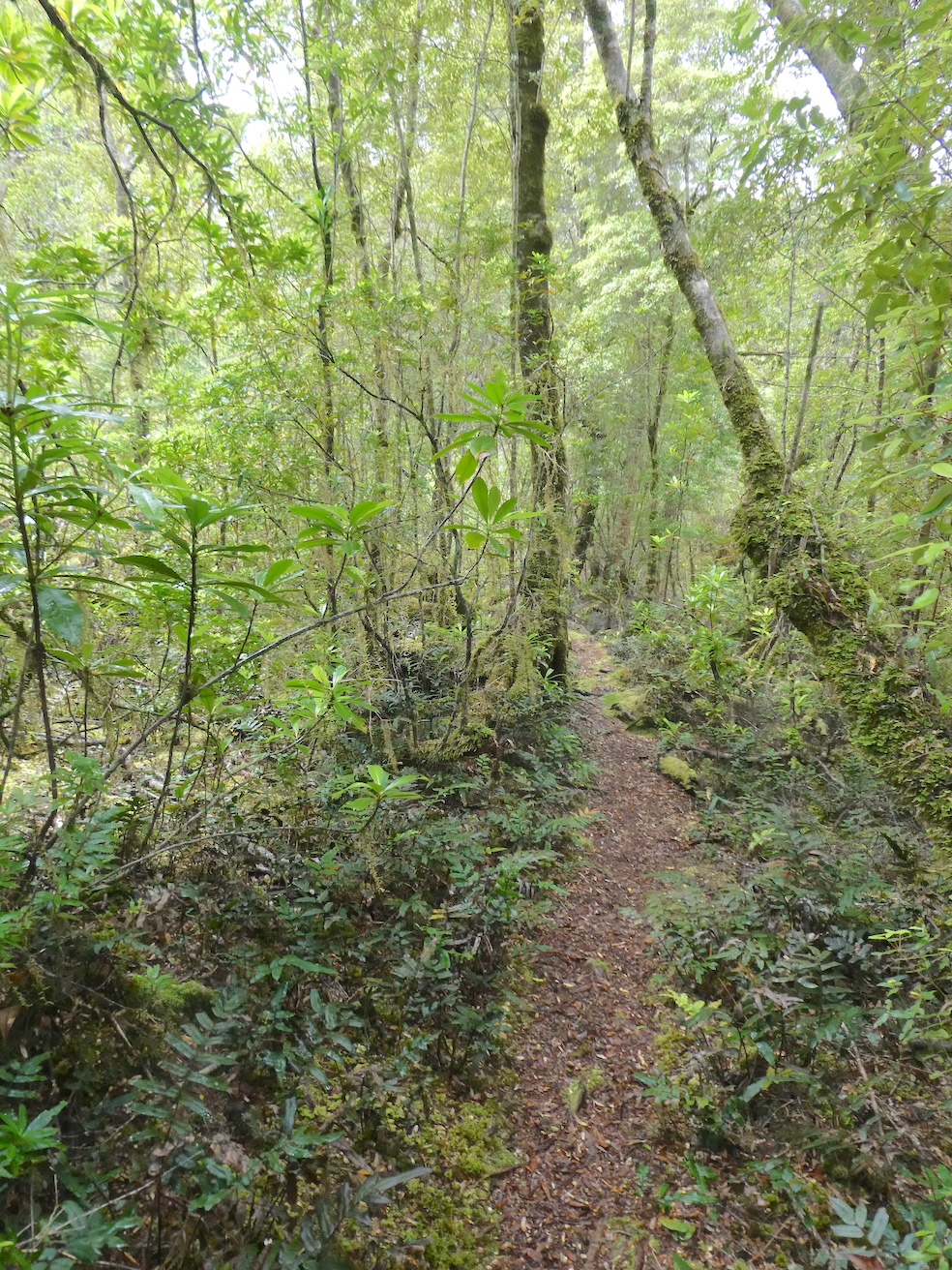
There are a few ways to experience the Tarkine Wilderness while staying at Corinna and the Old Telegraph Hill walk is one of them. The beginning of the 1.5 kilometre walk is easy going along a boardwalk through typical Tasmanian rainforest. Towering trees shelter luscious lichens and tannin stained streams.

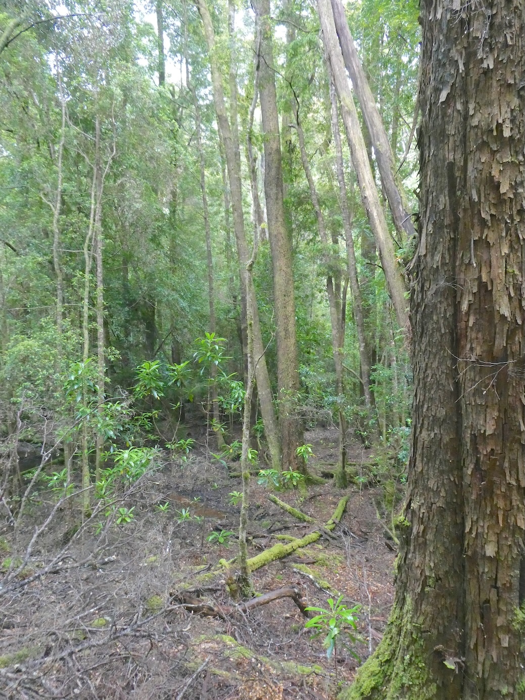
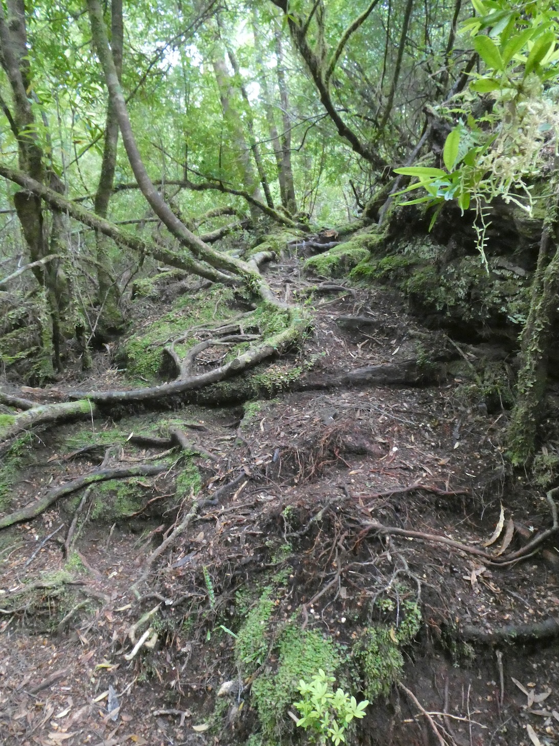
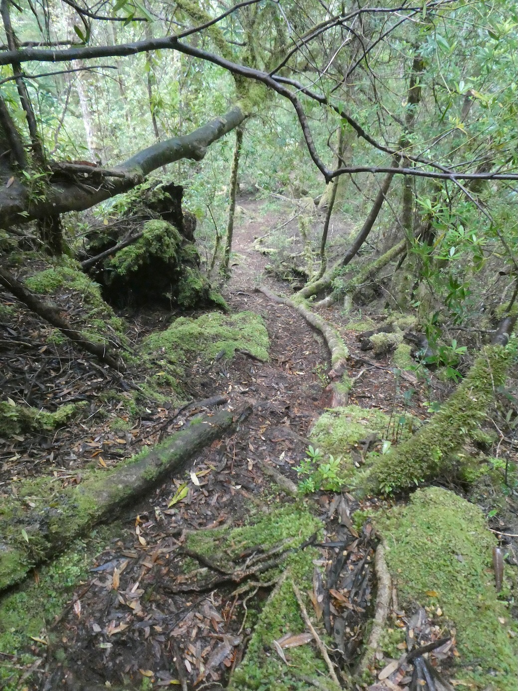
Fifty metres along, the walkway ends and the trail becomes a little less obvious.

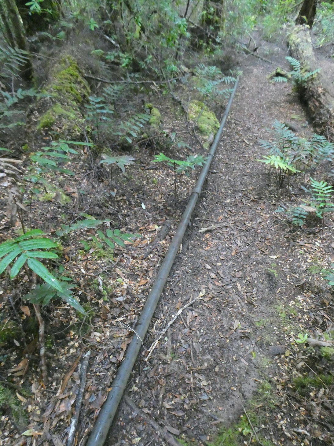
The old cable line reassured us we were on the right track.

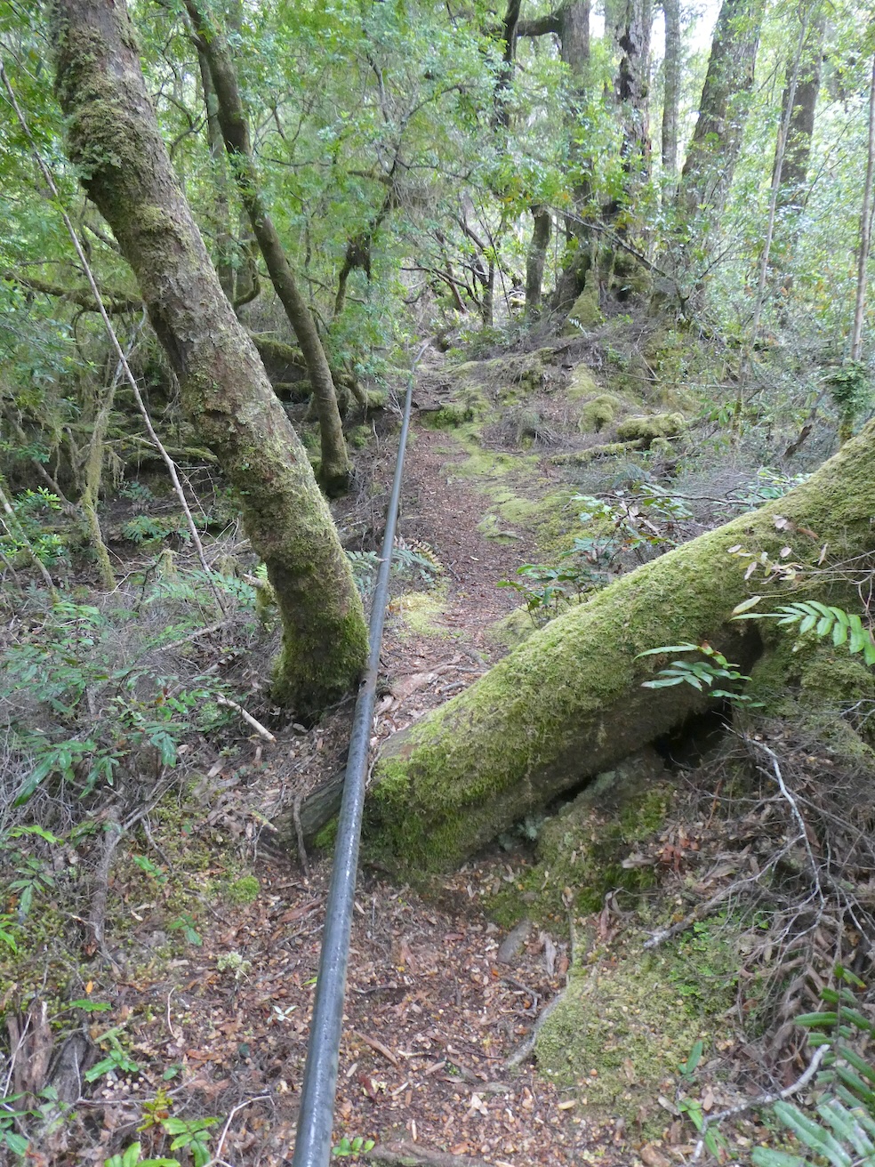
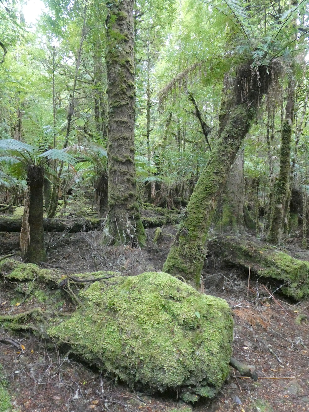
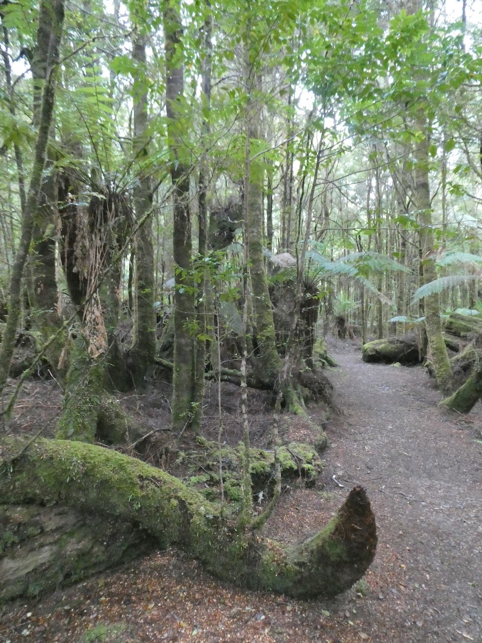
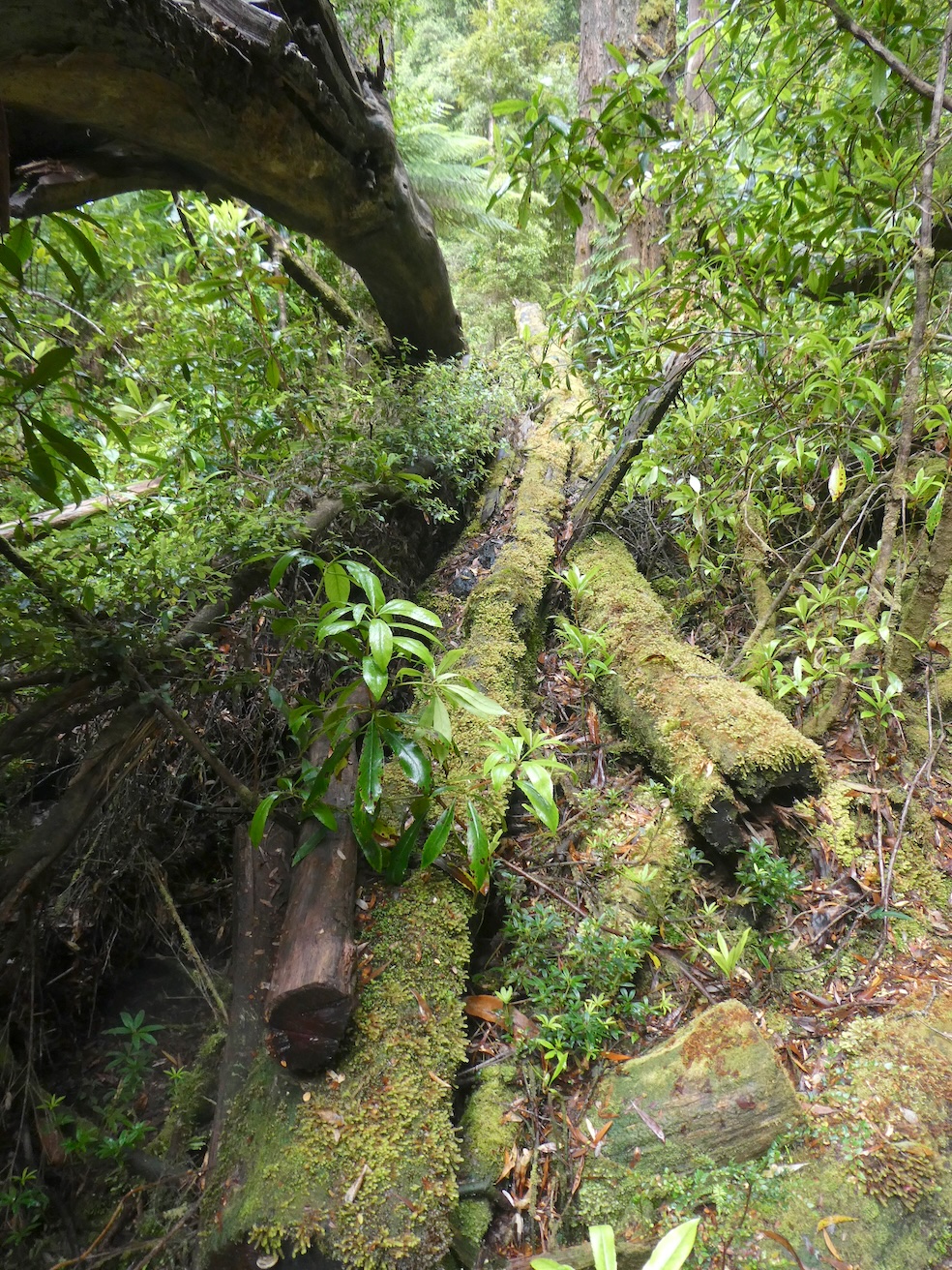
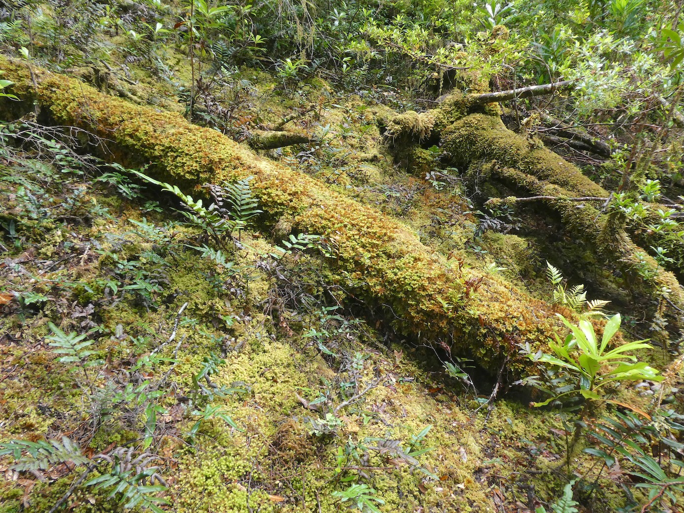
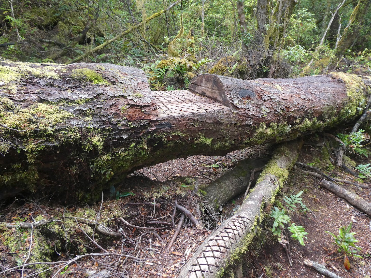
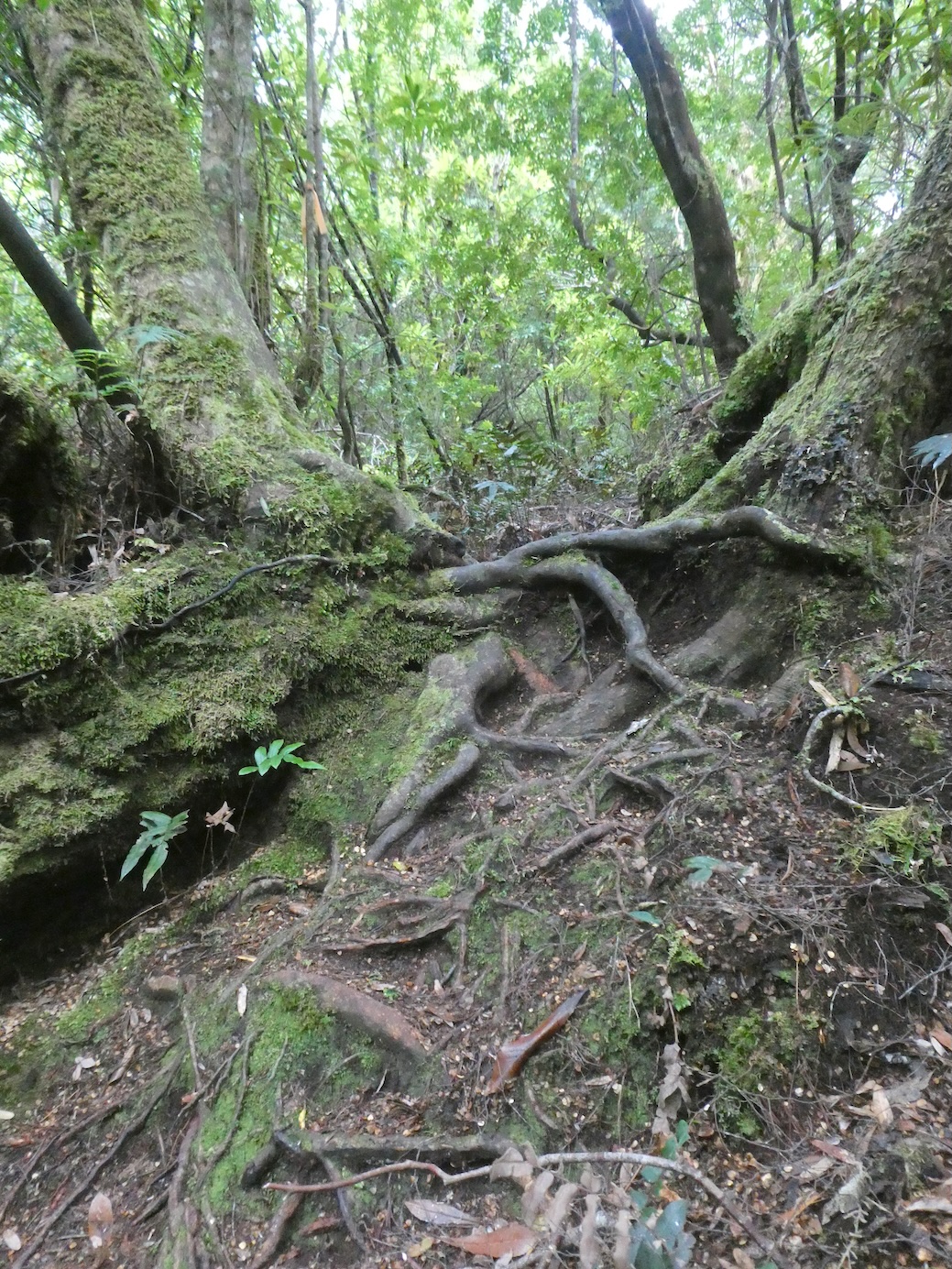
Someone has thoughtfully fashioned a stile of sorts to help negotiate the huge body of a fallen hero.

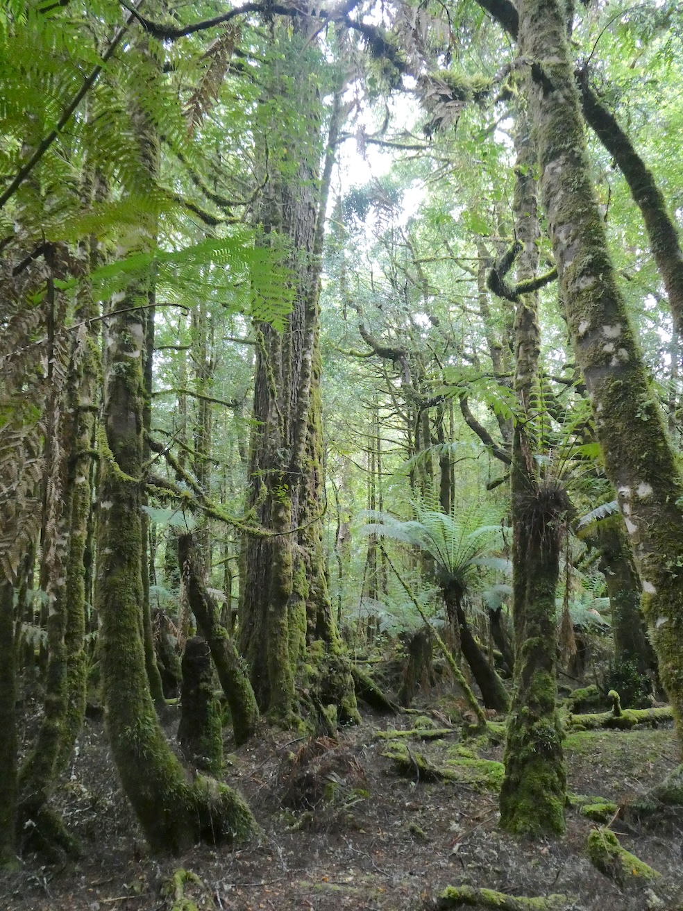
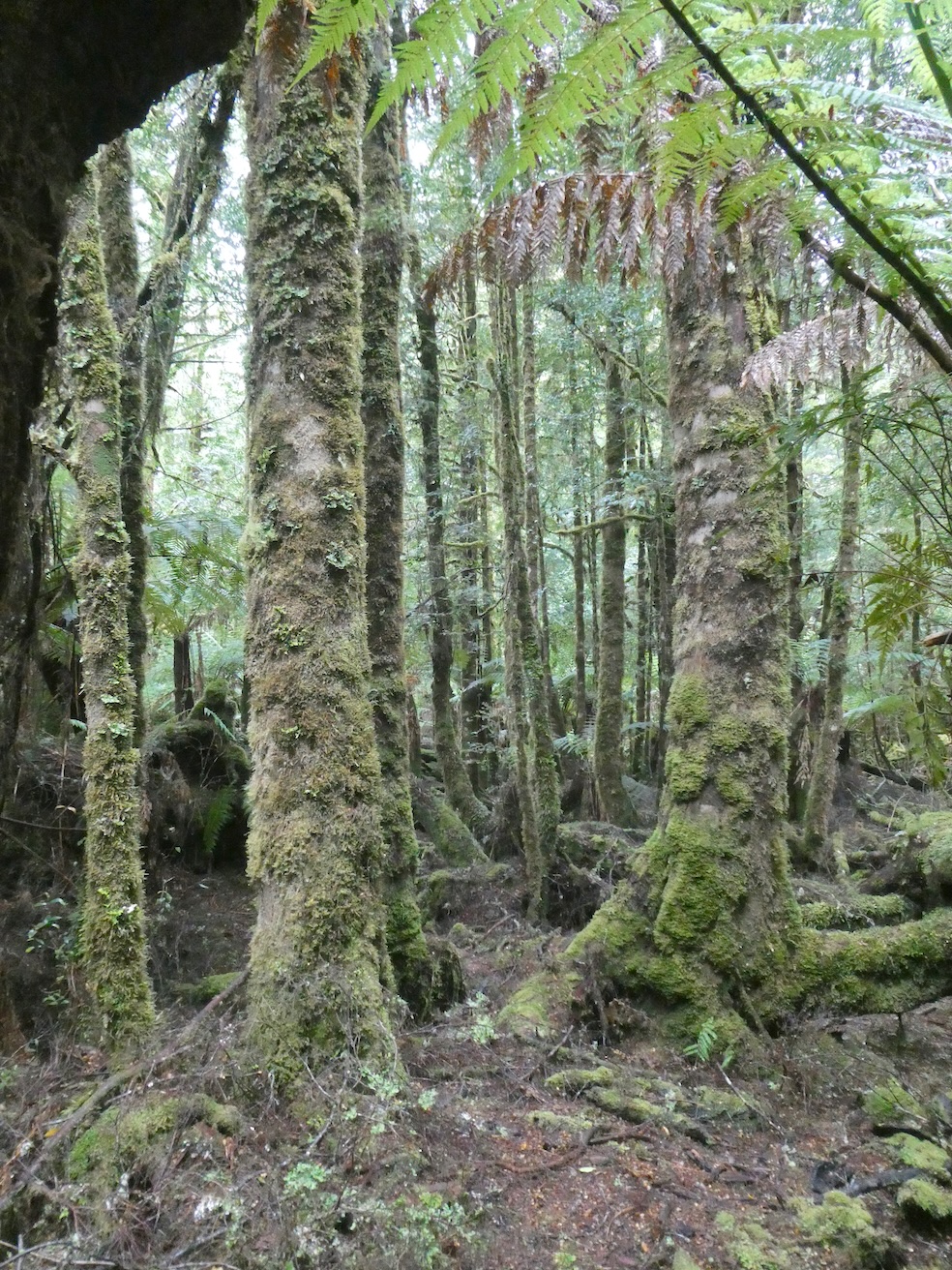
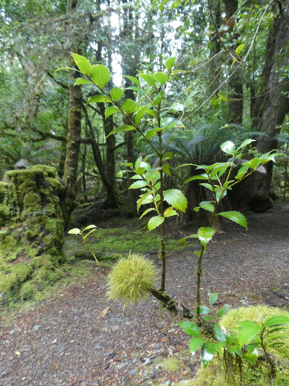
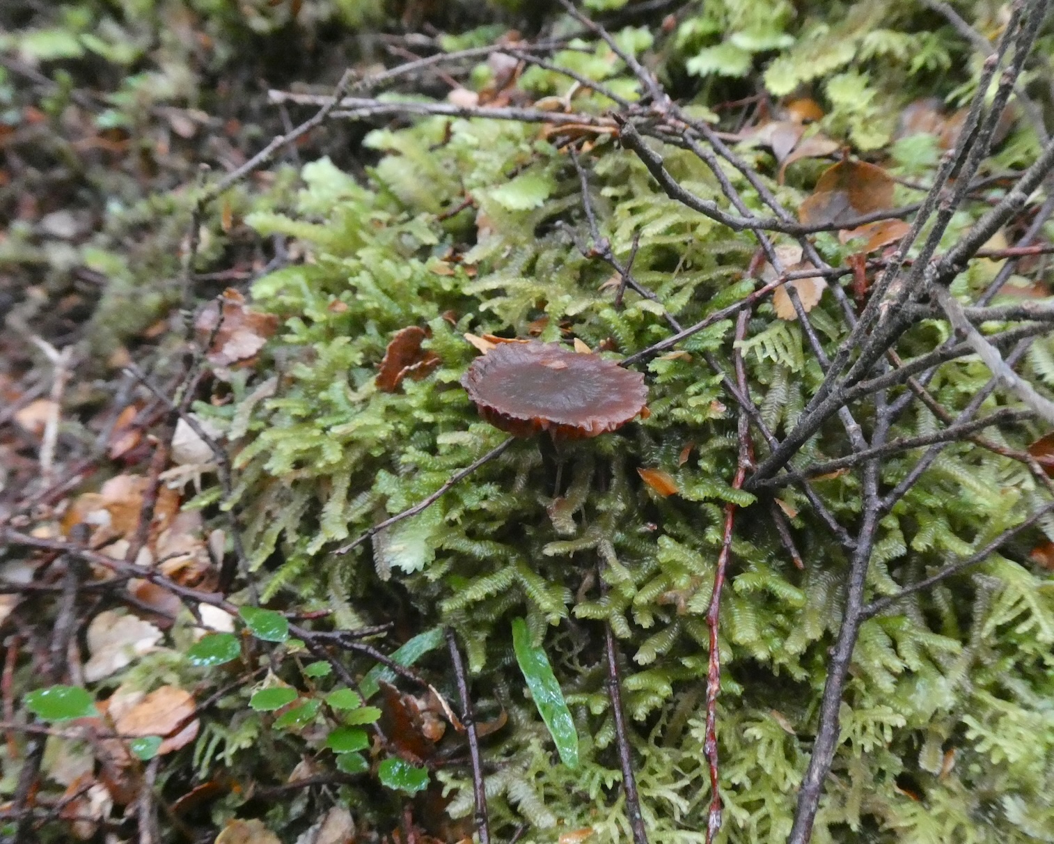
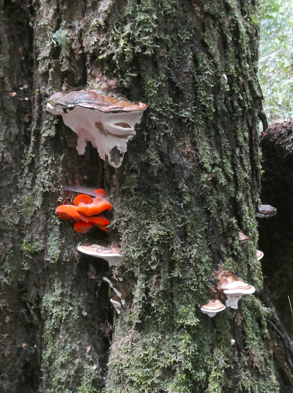
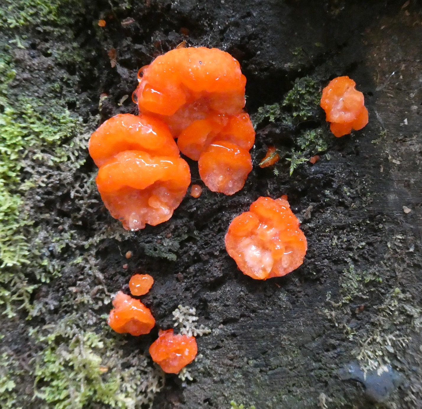
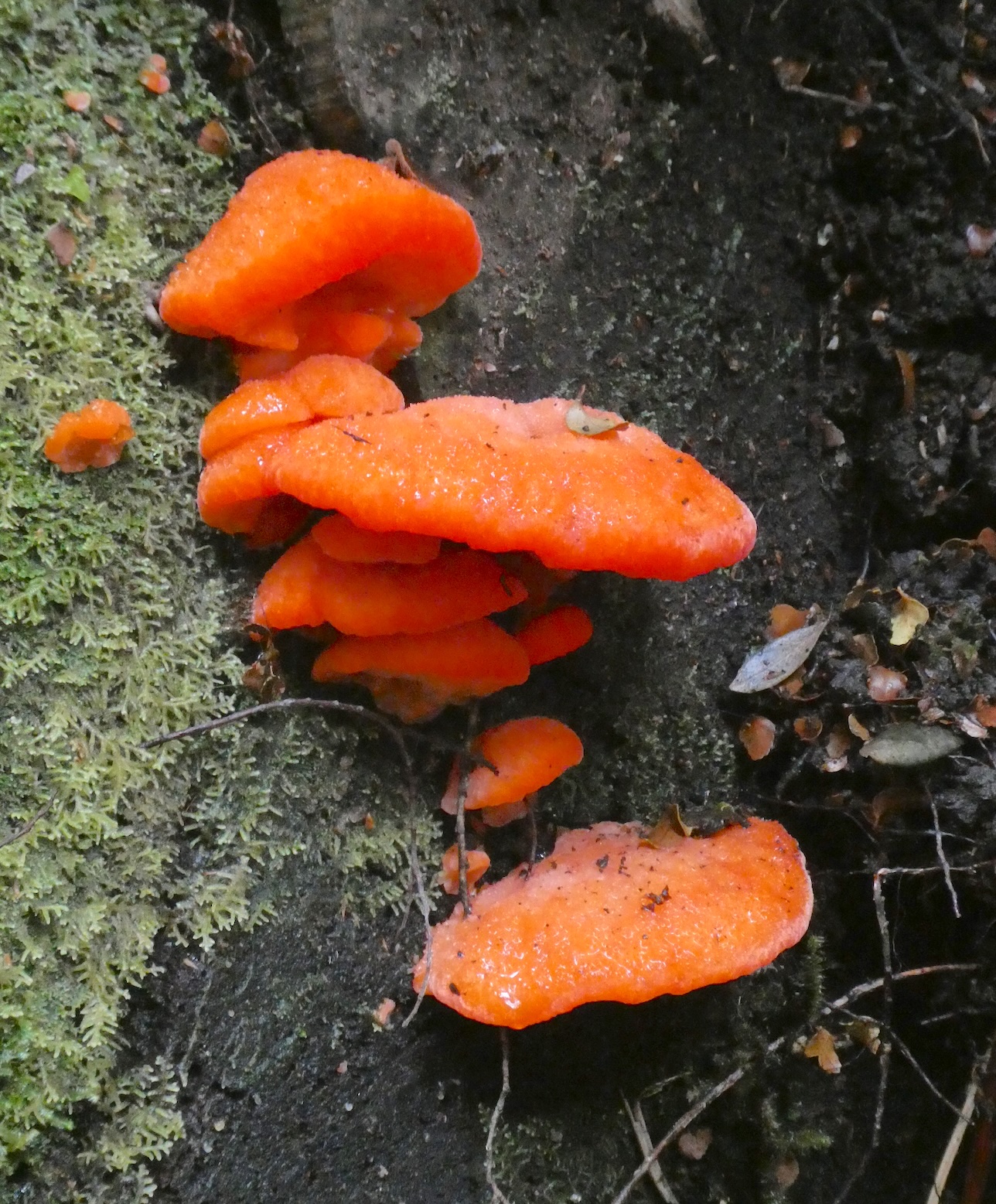
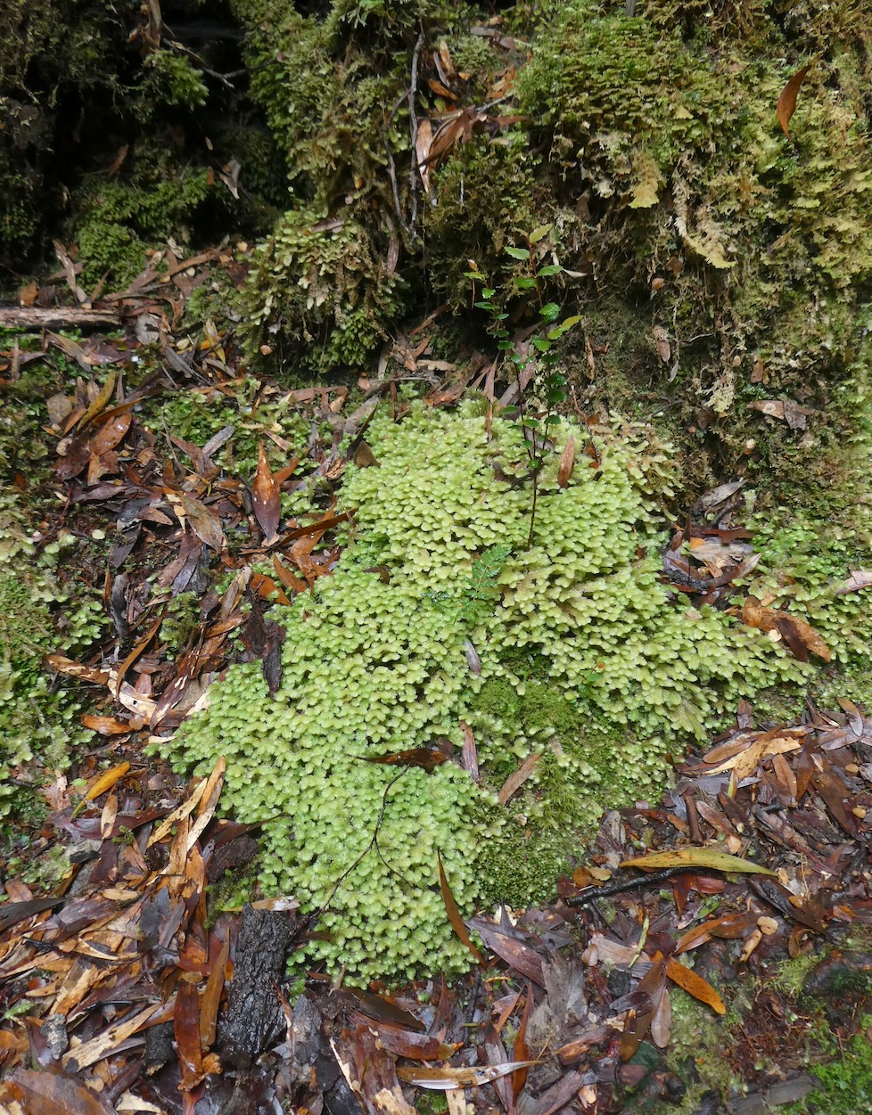
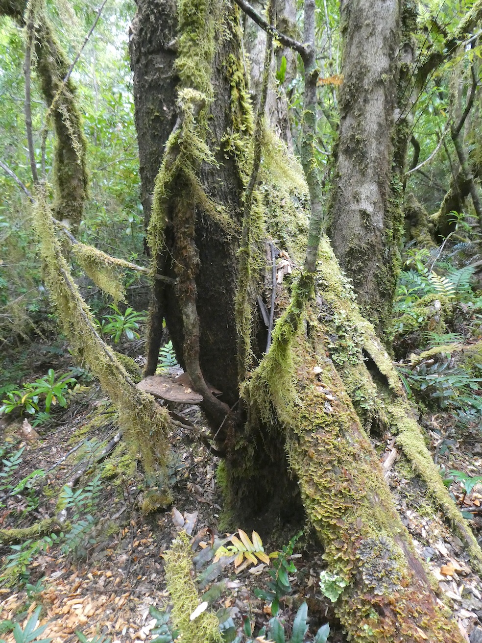
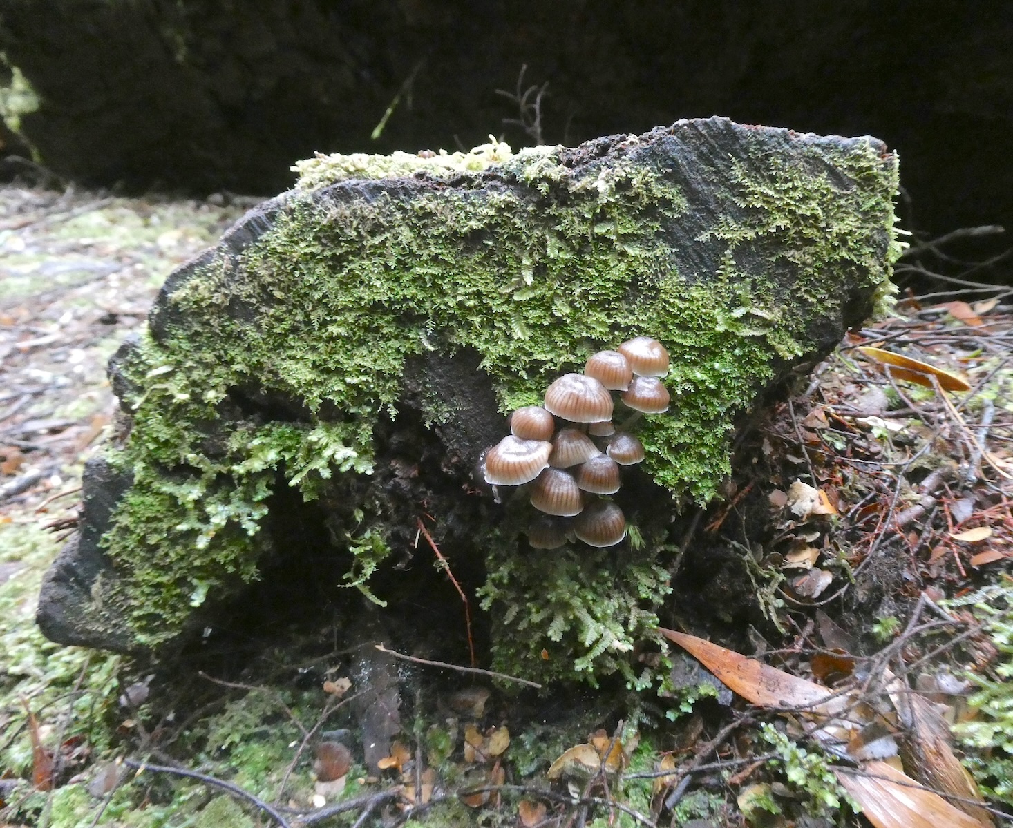
We continued to climb, surrounded by ancient myrtles and leatherwoods

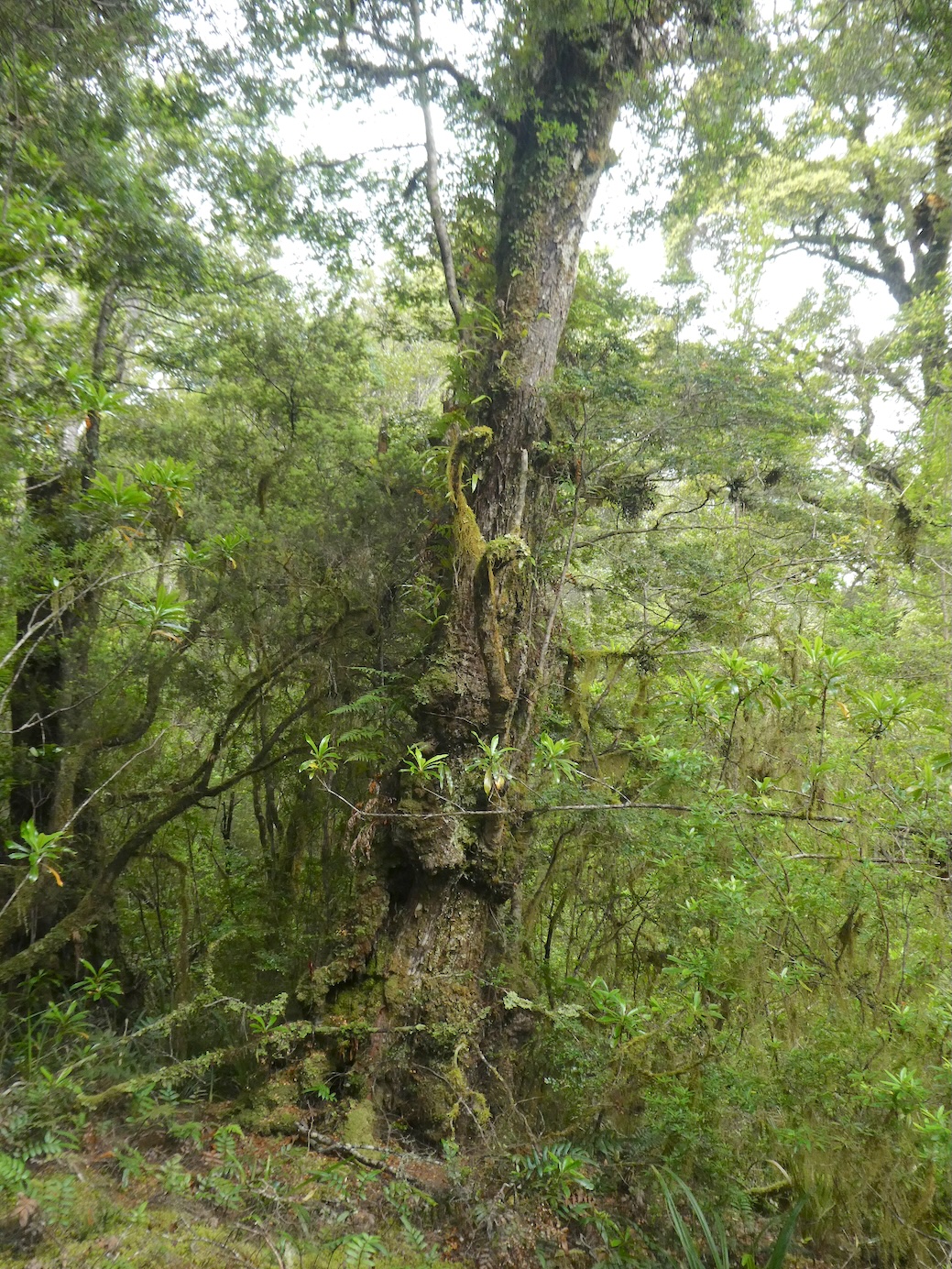
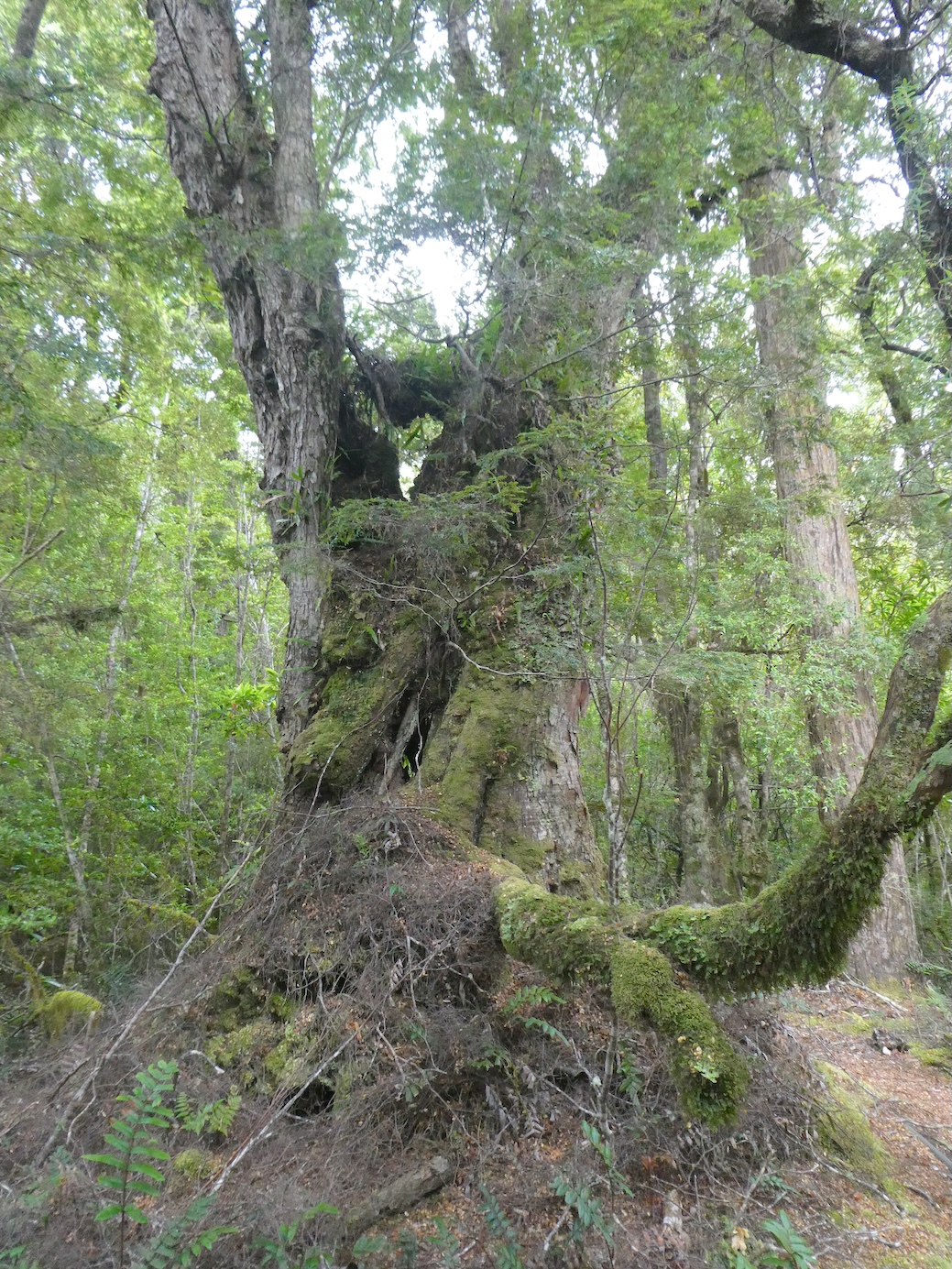
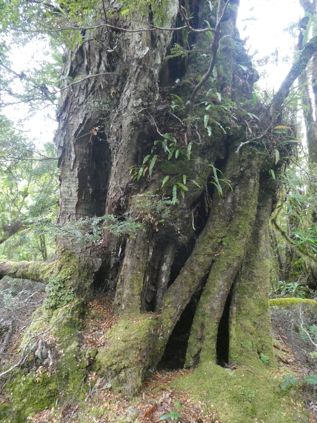
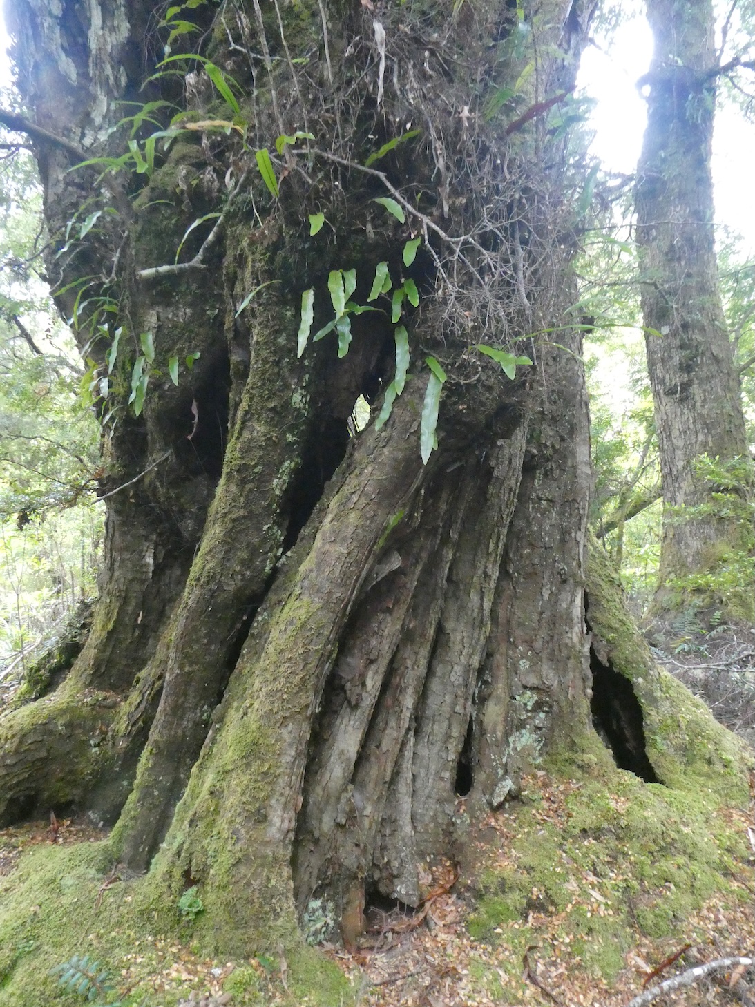
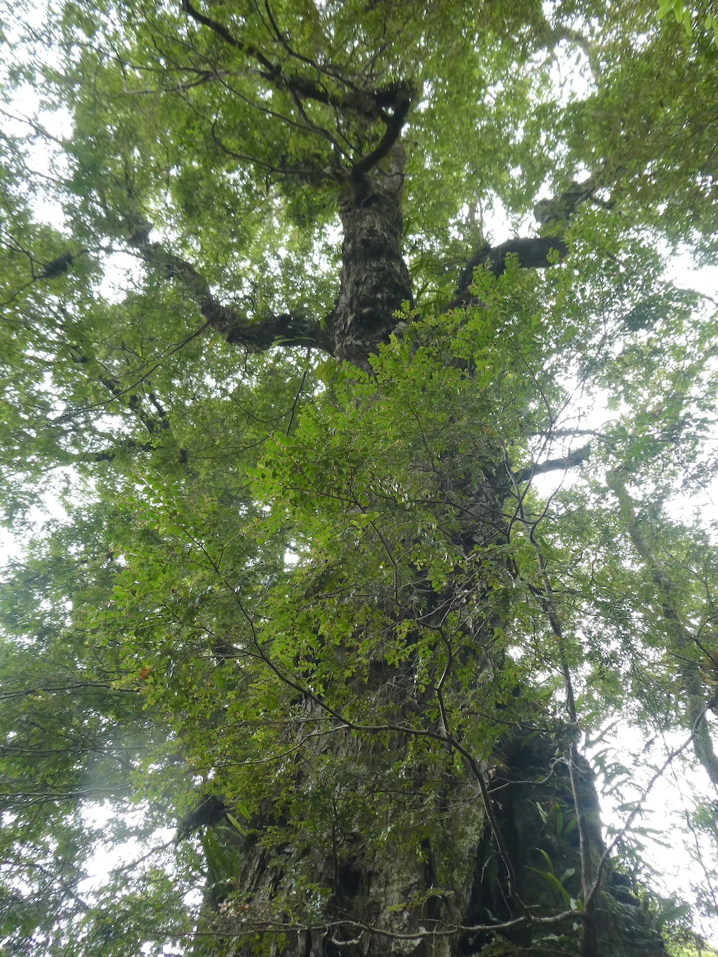
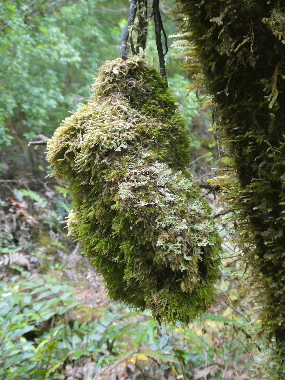
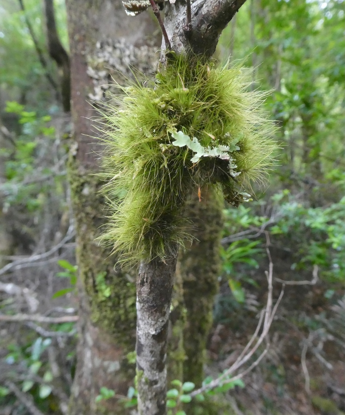
playing host to myriad fungi and lichen.

With feet slipping at all angles along the twisted track

we came across a series of dangling cables and a lone telegraph pole.

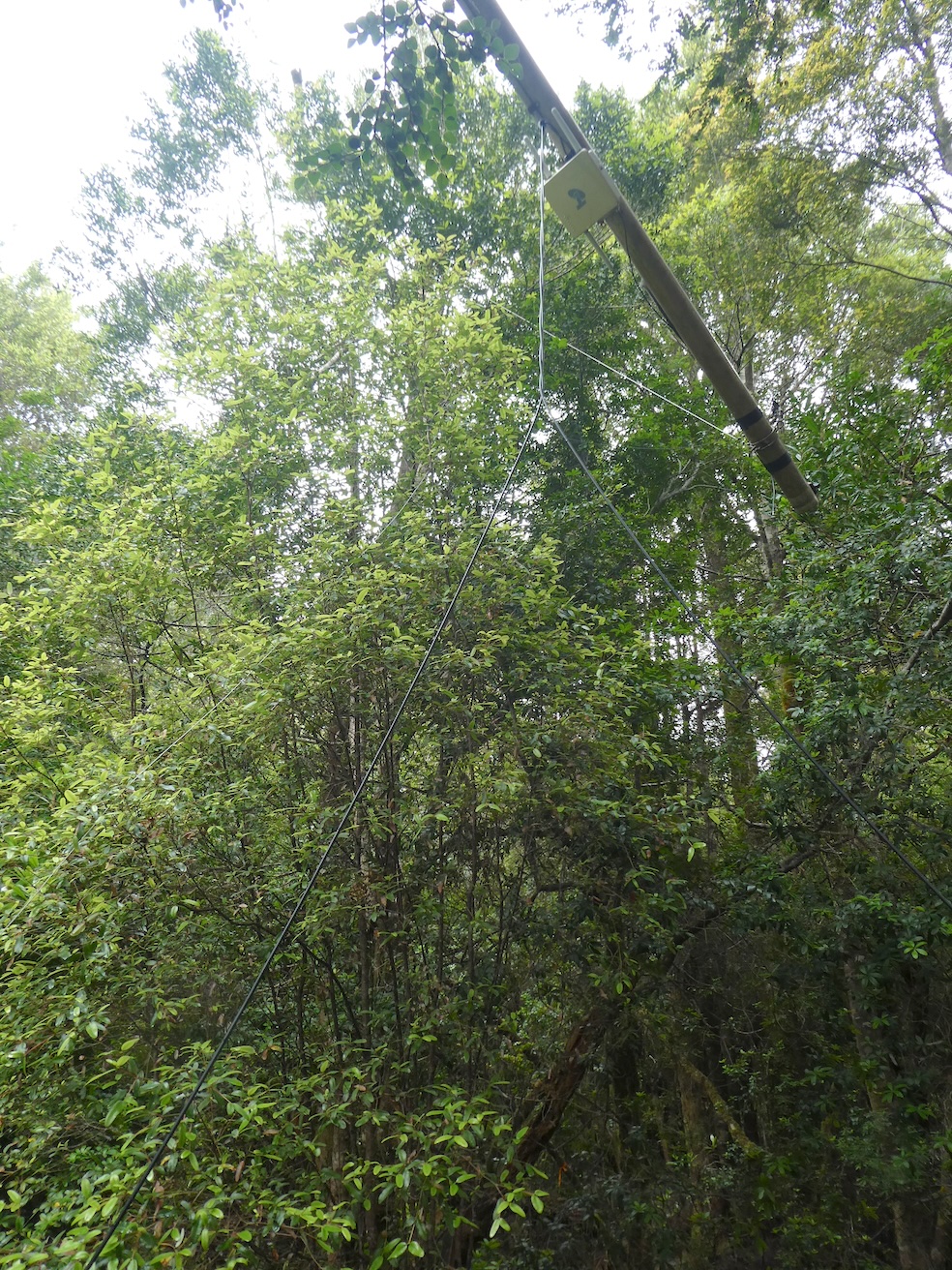
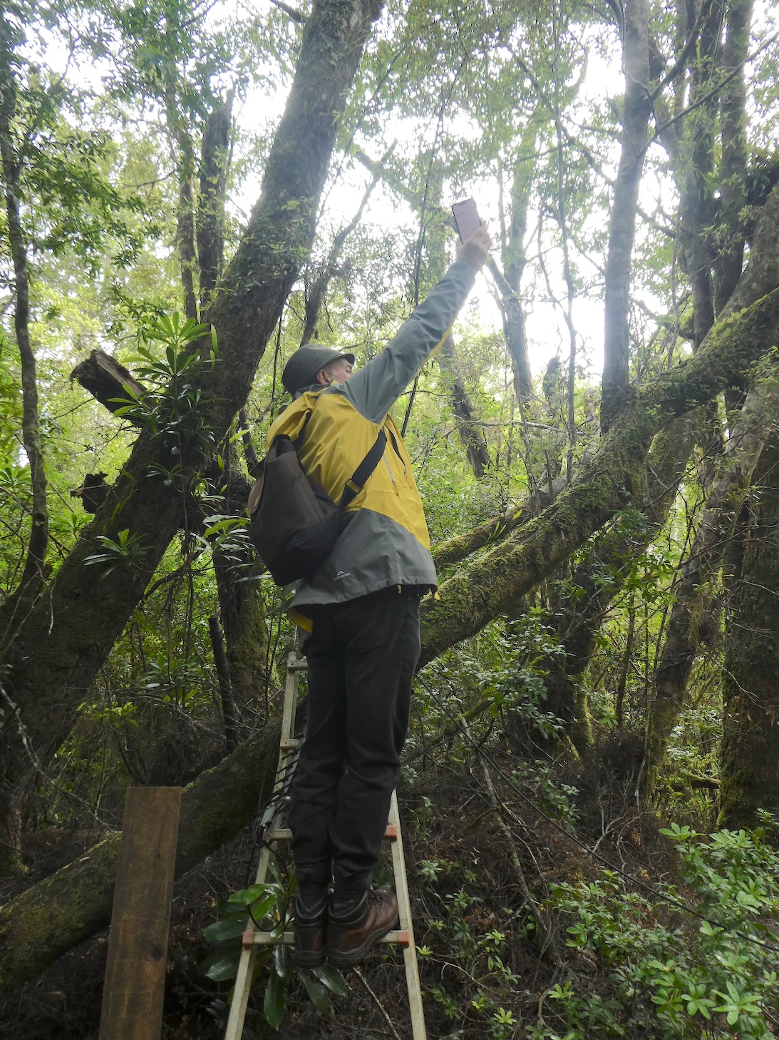
The step ladder and aerial confirmed our suspicion that this was our destination.

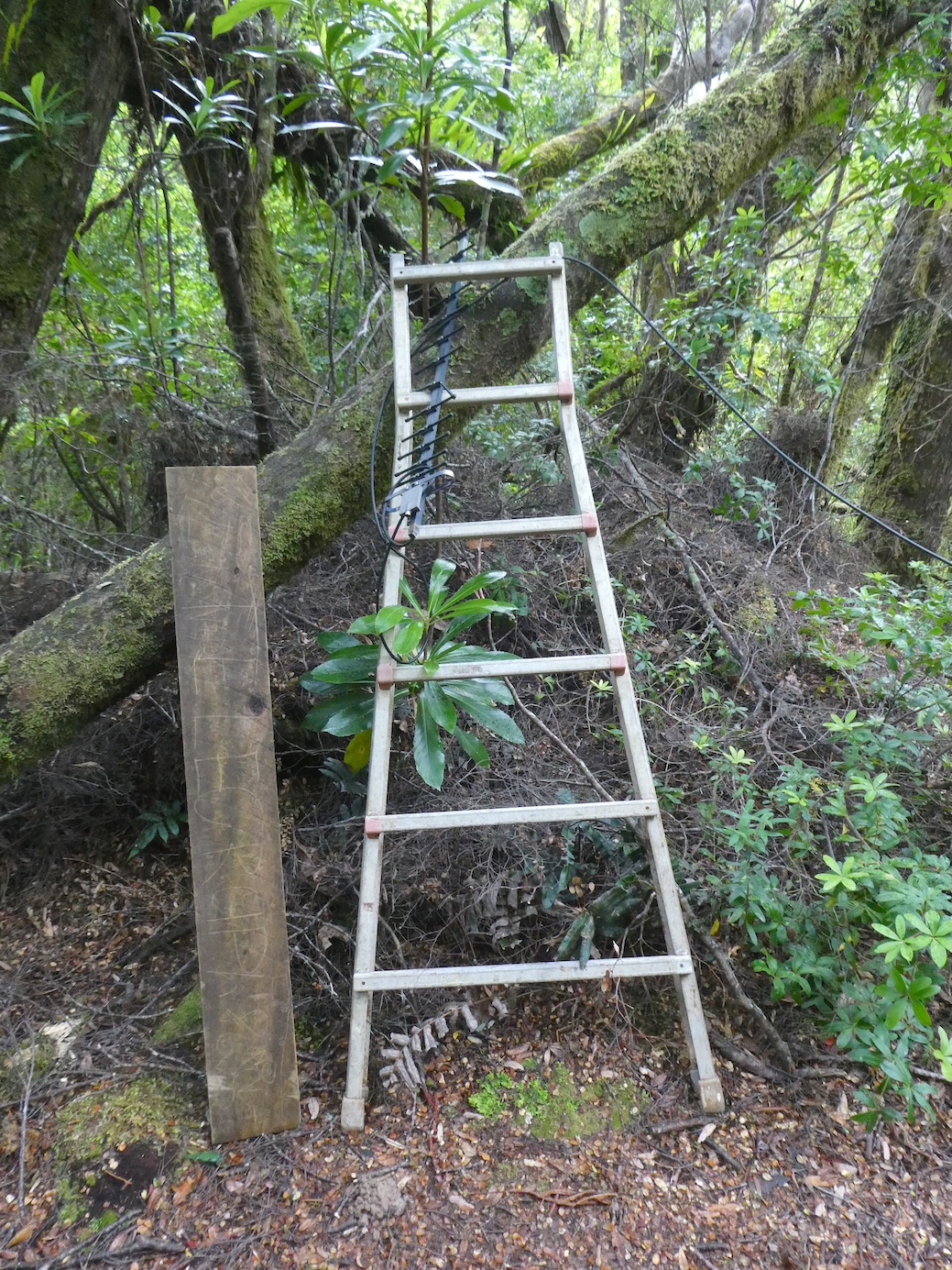
We had read that there was a chance of getting a signal at this point, although it was hit and miss. With some minor acrobatics we were rewarded.

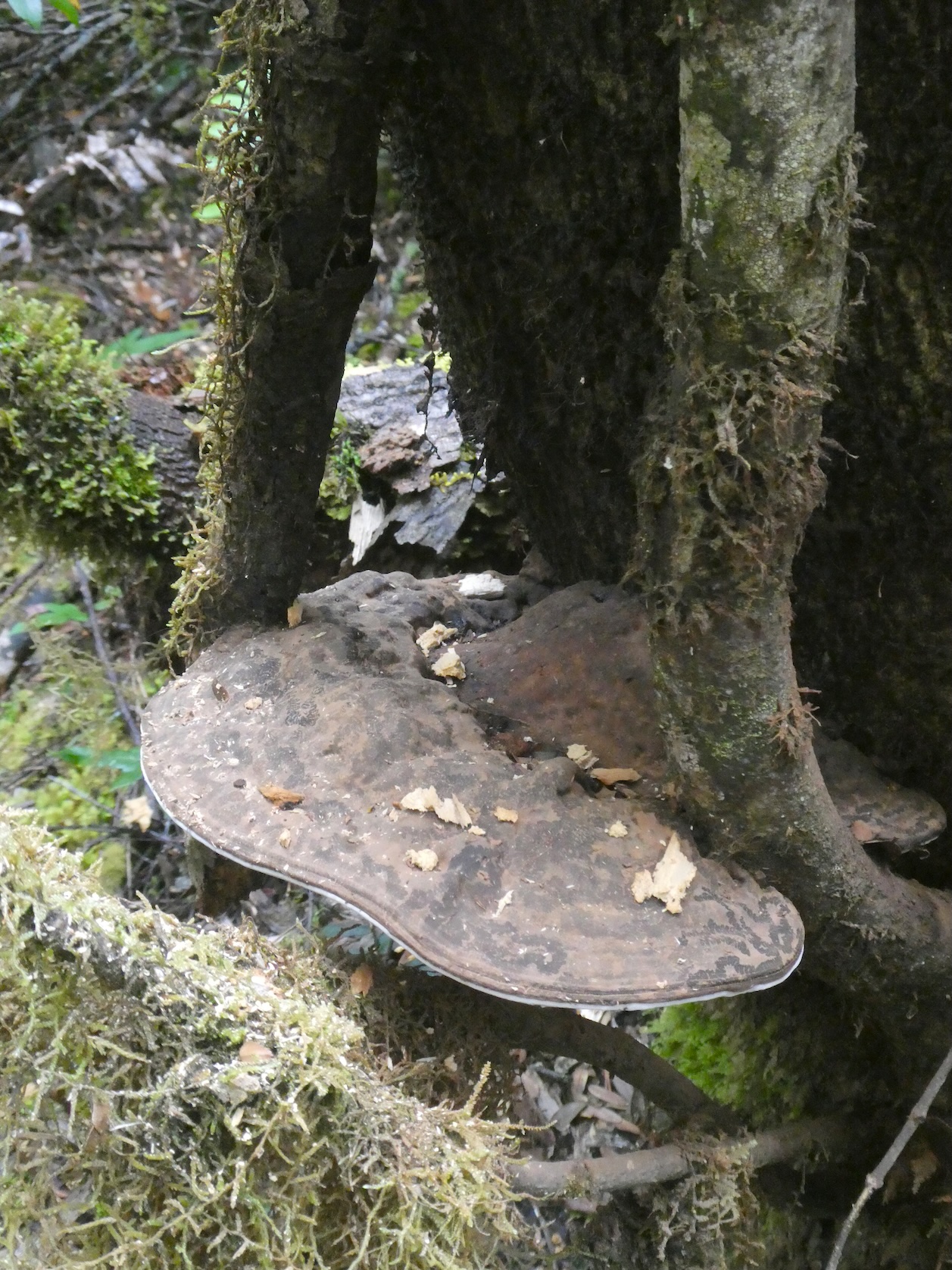
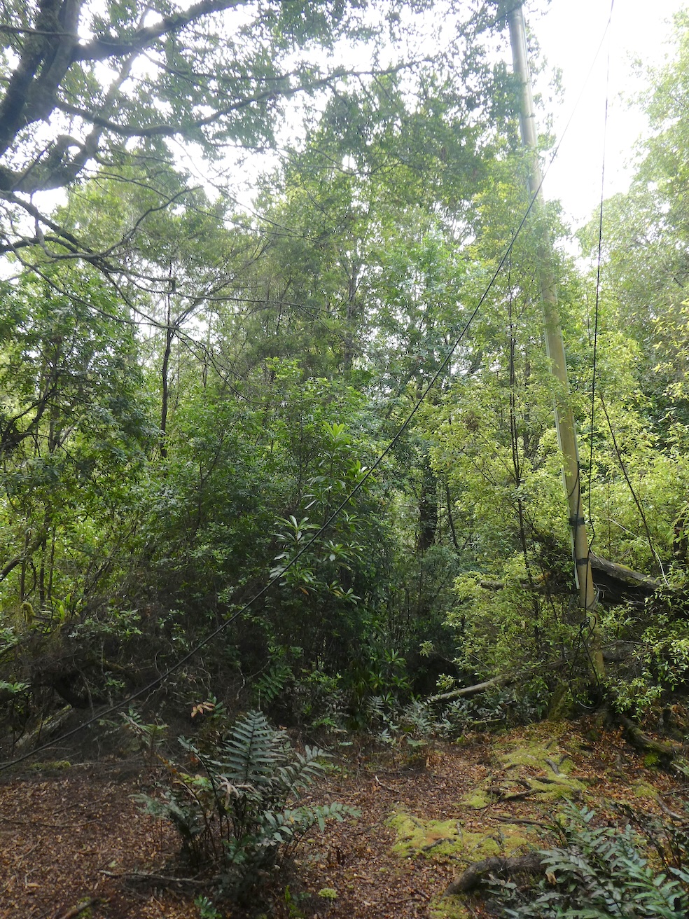
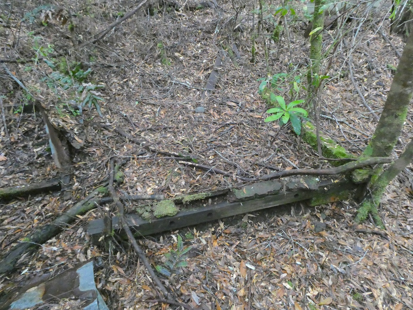
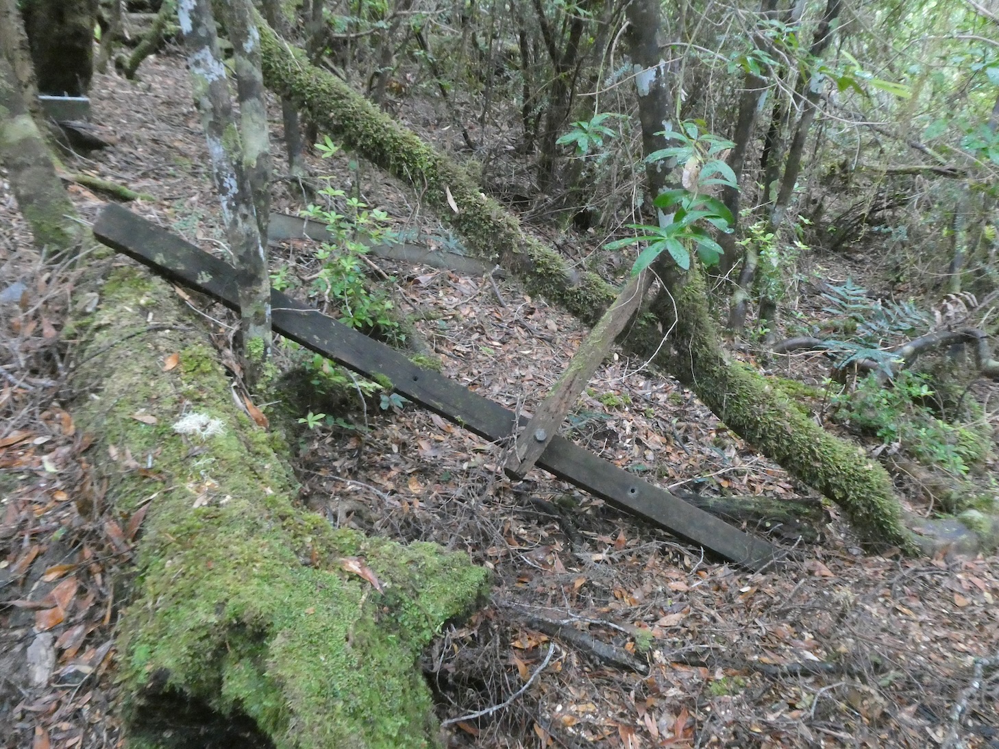
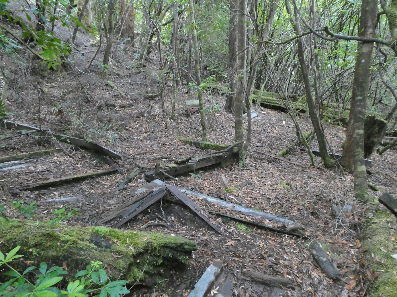
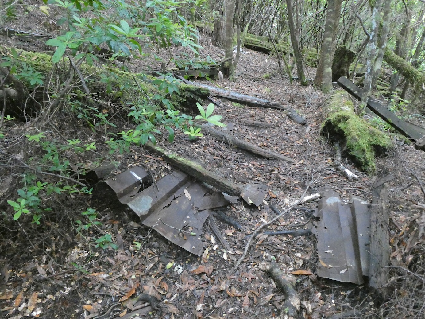
We had a poke around and found some remnants of long abandoned equipment

before retracing our steps and following the cable downhill.

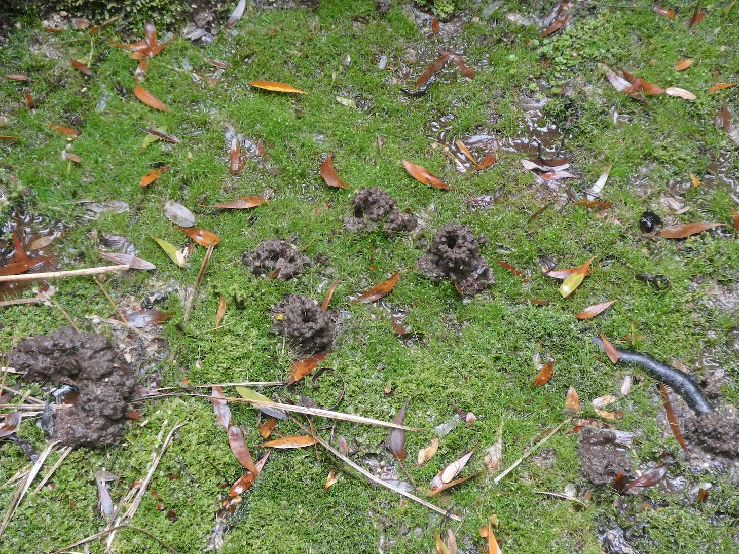
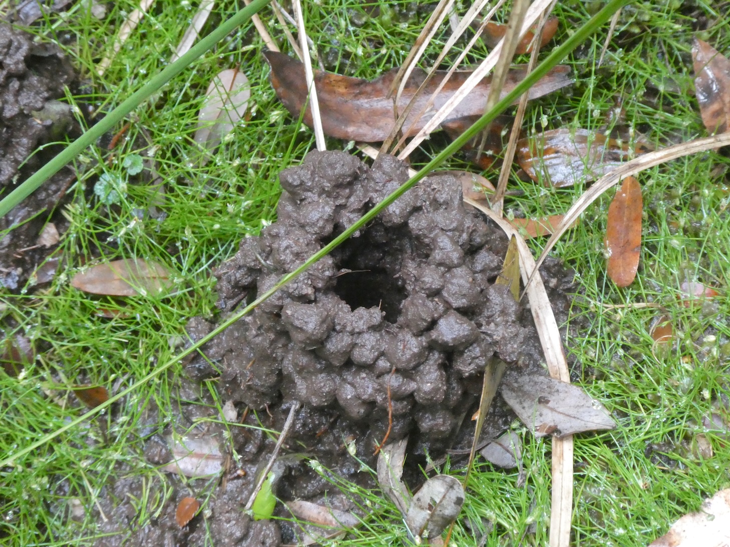
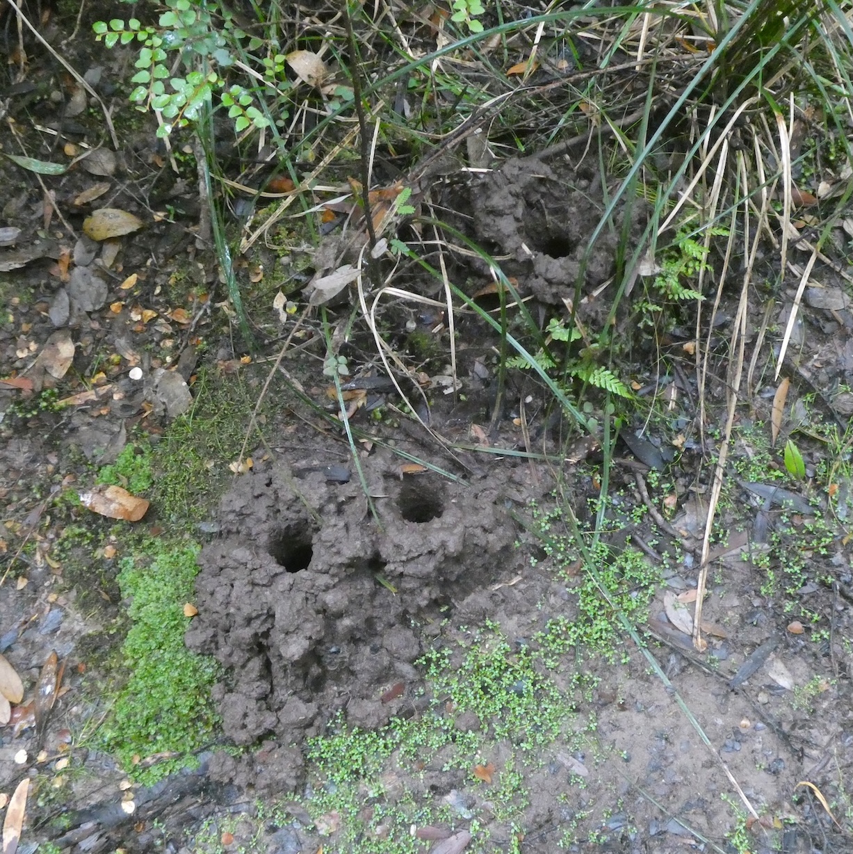
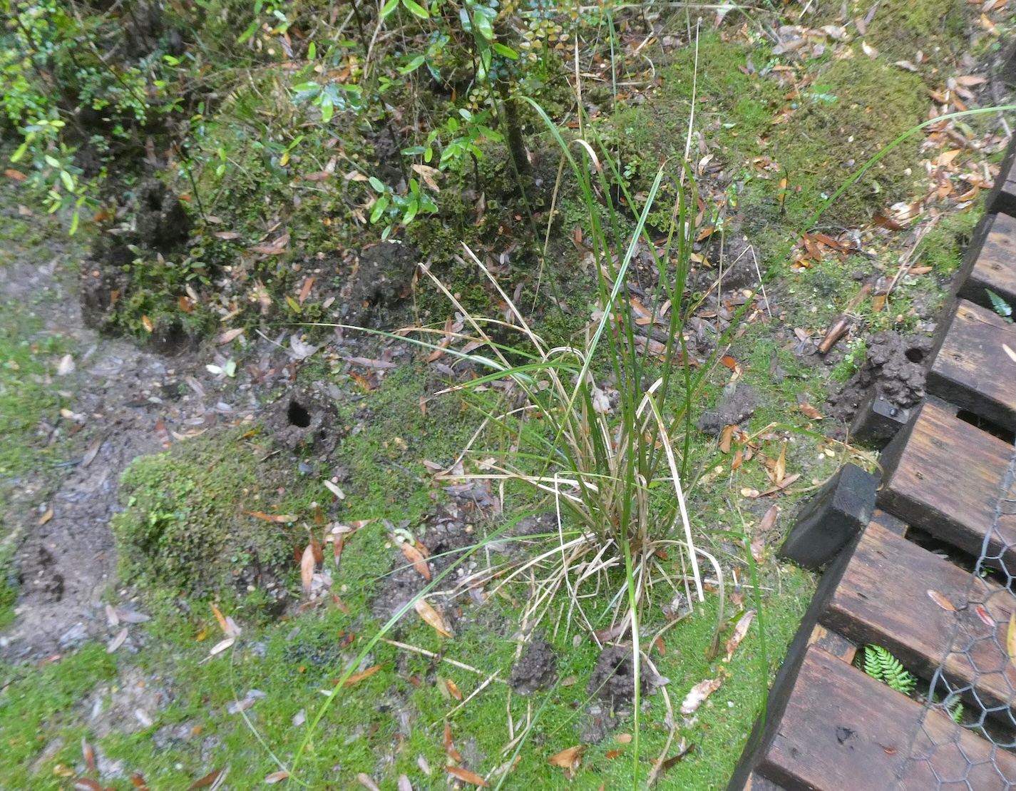
Toward the end of the boardwalk section, we noticed evidence of burrowing freshwater crayfish. They live in tunnel systems in muddy banks and seepages, rarely venturing out and they construct ‘chimneys’ made from balls of mud at the entrance to their burrows.

Time to warm up with a beverage by the fire.

Philosopher Falls Walk

Having read some horror reviews of the condition of the road from Waratah to Corinna, we had no idea how long the drive would take, especially as some roads were still closed following heavy spring rains. We deliberated a diversion to explore Philosopher Falls, named after explorer James ‘Philosopher’ Smith who discovered the waterfall in 1871. Setting ourselves a time limit, we ventured along the trail

and were soon embraced by towering myrtles and sassafras trees.

Verdant ferns and mosses carpeted the ground beneath the canopy.

Suddenly, the thick forest transformed and an area of tall, spindly trees flanked the path.

As the canopy closed in again,

we were entranced by vibrant fungi, coloured courtesy of nature’s palette.

We came to a footbridge spanning a flowing creek, a tributary to the Arthur River, and made the decision to turn back.

Had we continued, we would have walked the track that follows an old water race built to supply Magnet Mine in the early 1900s. Eventually, a 210-step staircase leads to a view from the bottom of the multi-tiered waterfall. We will have to return one day when we have no time constraints.

Enchanted Walk

There are many wondrous walks to choose from in Cradle Mountain National Park but my favourite is Enchanted Walk. Just over one kilometre long, the circuit takes around twenty minutes, depending on how much time one spends admiring the scenery. The trail starts at Cradle Mountain Lodge and follows Pencil Pine Creek as it bubbles along, embraced by mossy banks and majestic trees of the rainforest. On this morning the sunlight danced on the water, highlighting natures artistry.

Tannins from surrounding buttongrass moorland created a startling palette of orange hues amidst the shadows.

As we meandered further into the forest, verdant lichens complemented the russet glow.

At the end of the walk, the creek tumbles over rocks at Pencil Pine Cascades on its way to Pencil Pine Falls and, eventually, on a convoluted journey into the Forth River and Bass Strait.

Florence Falls

We had worked up an appetite with our morning explorations of Litchfield Park and found a secluded spot for a picnic lunch alongside Florence Creek.

The spring fed watercourse bubbles along, tumbling over a series of cascades until it reaches the escarpment at Florence Falls.

A stunning panorama from the viewing platform takes in the lush monsoon forest surrounding the falls.

The multi-tiered falls drop around 40 metres in total while the main cascade is around 20 metres.

There are 160 steps to the swimming hole at the base of the falls. Tempting though it was to cool off in the pristine water, the return climb would have been a step too far.

Tolmer Falls

Feeling inspired by our Wangi Falls expedition, we ventured 10km further down the road to walk the 1.6km Tolmer Creek loop before lunch. The trail started with an easy amble along a flat path surrounded by scattered rock formations

and sporadic blooms of Sturt’s desert rose. The floral emblem of the Northern Territory, this delicate flower was named after the explorer Charles Sturt. Interestingly, the stylised version on the official flag has seven petals instead of five.

Hundreds of cycads dotted the prehistoric landscape.

The male plants grow a large, pollen producing cone on the top of the trunk but the females grow a cluster of stalks that grow upward until the seeds at the end get heavy and they droop. They are not recommended for a bush tucker menu as they contain a neurotoxin and are poisonous.

The track became steep and rocky as we neared the top of the falls, taking a moment to ponder some carefully constructed rock art.

The crystal clear water of Tolmer Creek trickled its way over golden sandstone to the edge of the escarpment.

We were rewarded with awe-inspiring views and spectacular cliffs as we made our way to the viewing platform.

Explorer Frederick Henry Litchfield named the falls after his late father’s colleague in the South Australia Police, Alexander Tolmer. The water cascades over two high escarpments into a deep plunge pool where swimming is prohibited.

The panorama from the other side of the viewing platform was quite different but equally as impressive.