The waters of the Mersey River travel 147km from Lake Meston in the Walls of Jerusalem National Park to escape into Bass Strait at Mersey Bluff on the northwest coast of Tasmania.

The dolerite headland was formed 185 million years ago in the Jurassic Age. As the rock cooled, joints and fractures were created along with some very flat surfaces, providing places where the Aborigines would sit and carve.

Tiagarra Aboriginal Cultural Centre and Keeping Place has been closed for quite some time due to lack of funding. The building houses the history, art and culture of the Tasmanian Aboriginal people and there are several rock carvings and middens along the bluff walk.

The lighthouse was completed in 1889 and was automated in 1920. The addition of four vertical red stripes in 1929 make it quite distinctive.


We followed the footpath around the bluff with spectacular views of the coastline to the east.

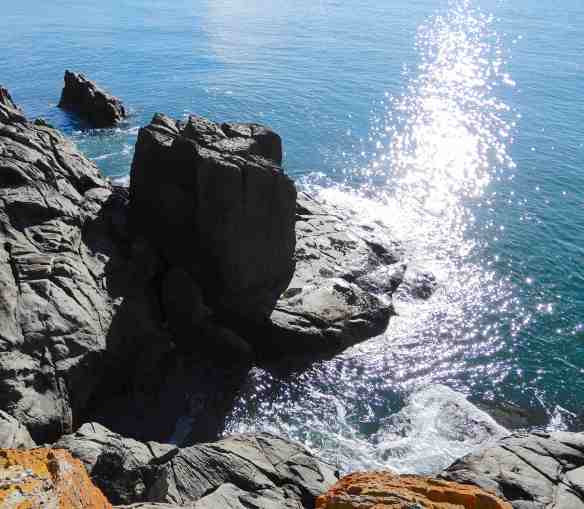
There are many rock formations along the way, it’s not difficult to see why this one is called ‘the hat’.
The lighthouse receded behind us

as we rounded the point, the sun highlighting the colours in the rocks.

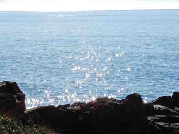
I could sit for hours and watch the incoming tide sneak its way into each crevice, retreating angrily in defeat.


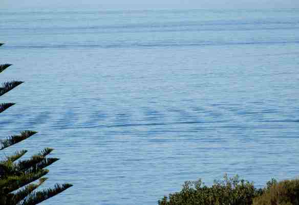
Diamonds sparkled on the water as far as the horizon.
We passed a craggy memorial to a brave young man who lost his life while trying to save another.


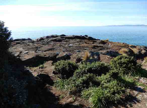
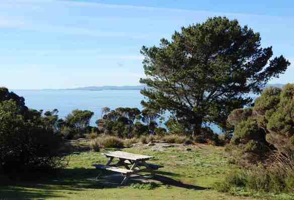
The path continues to Mersey Bluff Reserve but we took the short cut back instead, through the picnic ground with serene water views.

what a lovely walk 🙂
LikeLike
We will have to go back and look for the Aboriginal rock carvings. It would be great to see Tiagarra re-open.
LikeLike
Like the stripes on the lighthouse 🙂
LikeLike
Yes, they are usually horizontal 🤔
LikeLike